The following excerts come from a piece by Grant Williamson, Brett Murphy, and David Bowman published in The Conversation. It seems pertinent given the current proposal to re-introduce cattle into a section of the Alpine national park.
Their actual research report can be found here.
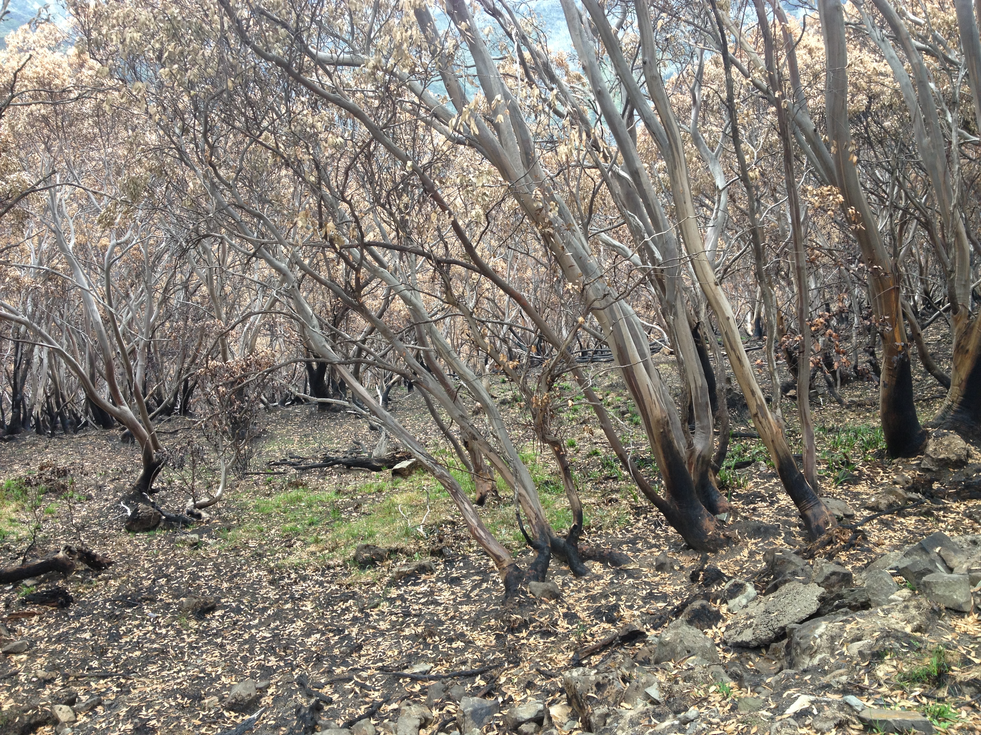
This was not an on-ground research project into how grazing might be used as a fuel management tool. Rather, it was based on an assessment of satellite images of the Victorian Alps. They looked at vegetation maps from the past, and compared them with areas after the cessation of grazing, and also the impacts of extensive areas burnt by fires.
“We overlaid maps of crown scorch derived from satellite imagery following large bushfires in 2002/03 and 2006/07 with the location of pastoral leases. Crown scorch is a measure of fire intensity, based on the degree to which flames have reached a height which enables them to burn the forest canopy”.
They summarise their findings in this way:
“Using geospatial statistics we found that cattle grazing had no effect on the likelihood of crown scorch in eucalypt forests and woodlands.
This result is biologically plausible given that cattle are grazing animals, not browsing animals – they do not extensively feed on woody vegetation focusing on grasses instead. Our study is also consistent with previous ground-based studies that have demonstrated the cattle prefer to graze in grassy areas”.


Leave a comment