
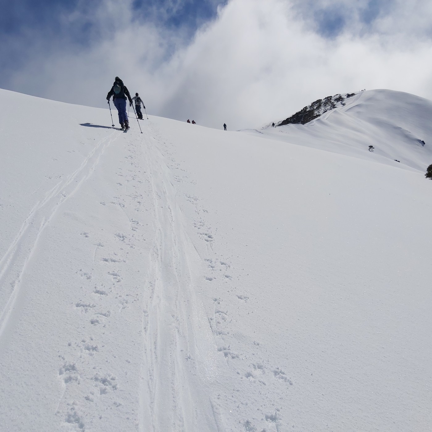
We have known for years that climate change is reducing the overall amount of snow we receive in Australia. The snow pack has been in decline since at least 1957. We also know that the loss of snow is being felt especially at lower elevations and will have enormous impacts on the local economies that have developed around the mountains.
Today Protect Our Winters (POW) have released a comprehensive update on the threats posed by climate change – to snow pack, the mountain environment and animals who rely on a thriving ecosystem, and downstream rivers, and also the impacts on the local economies that rely on good snowfalls.
Continue reading “Protect Our Winters report: Our Changing Snowscapes”


Recent Comments