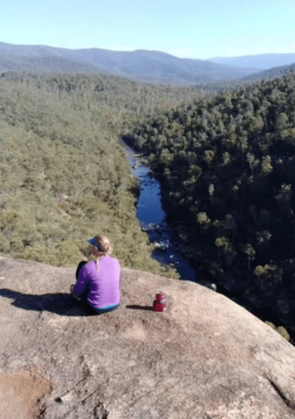
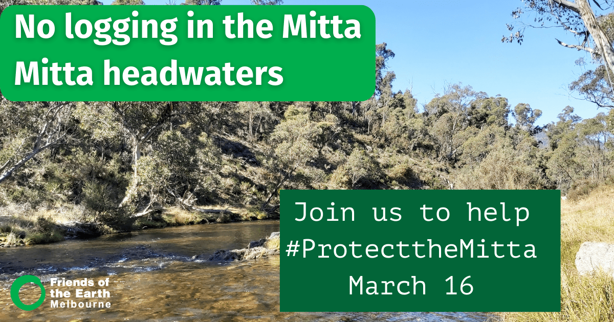
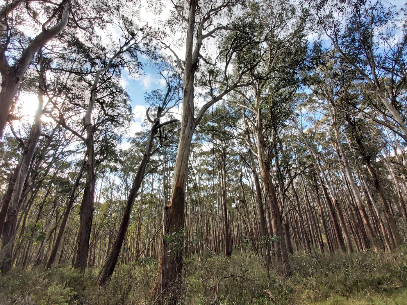
There is a proposal to upgrade informal tracks close to the Mitta Mitta River within the Alpine national park. Many people have expressed concerns about plans to erect a set of steel stairs and putting in guard rails on top of the cliff at O’Connell’s Lookout, which overlooks the Graveyard rapid.
The Mittagundi outdoor education centre opposes the proposal, saying
‘young people who come to Mittagundi usually have the opportunity to abseil at this amazing and natural place without guard rails and steel stairs’.
They are urging people to contact Parks Victoria and object to the current proposal.
‘Mittagundi did object initially when we were invited to have a submission, however our objection was not successful. Please, if you choose too, could you write to Parks Victoria stating an objection, it might help prevent the proposal from going ahead.
Thank you!’
info@parks.vic.gov.au
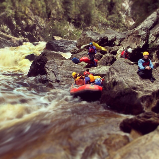
Friends of the Mitta (FOTM) are concerned that if the project doesn’t go ahead, the area may be closed off because of safety concerns.
They say:
Over the years, we have been in ongoing discussions with Parks Victoria (PV) regarding the formalisation of the loop trail, which includes O’Connell’s Overlook. Our discussions included the requirement for a safety railing at the overlook to comply with evolving risk management protocols.
Initially, FOTM opposed the installation of a railing, as we believed it would detract from the site’s natural beauty.
However, approximately three years ago, PV informed us that, without a railing, the overlook would be closed to all visitors, including abseilers and hiking groups.
There is a major piece about the proposal available on their website which provides history and details on their views on the proposal.


Recent Comments