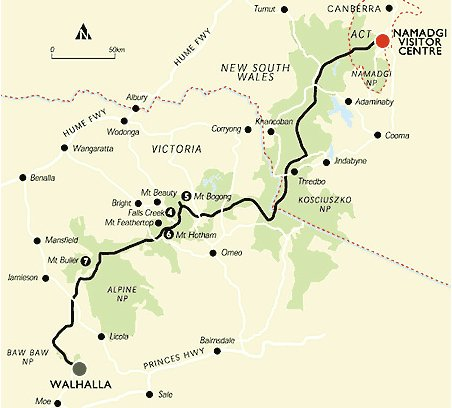
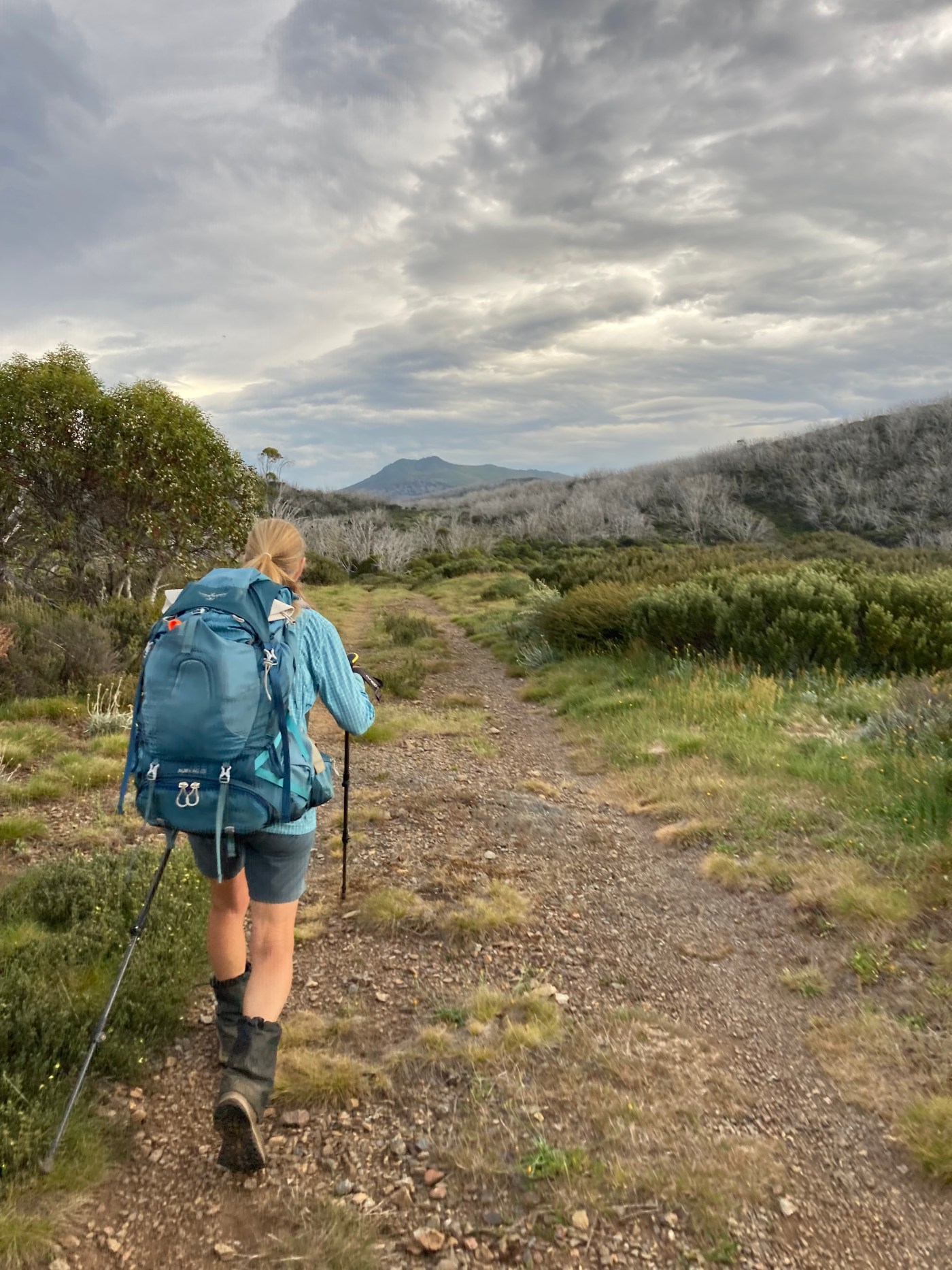
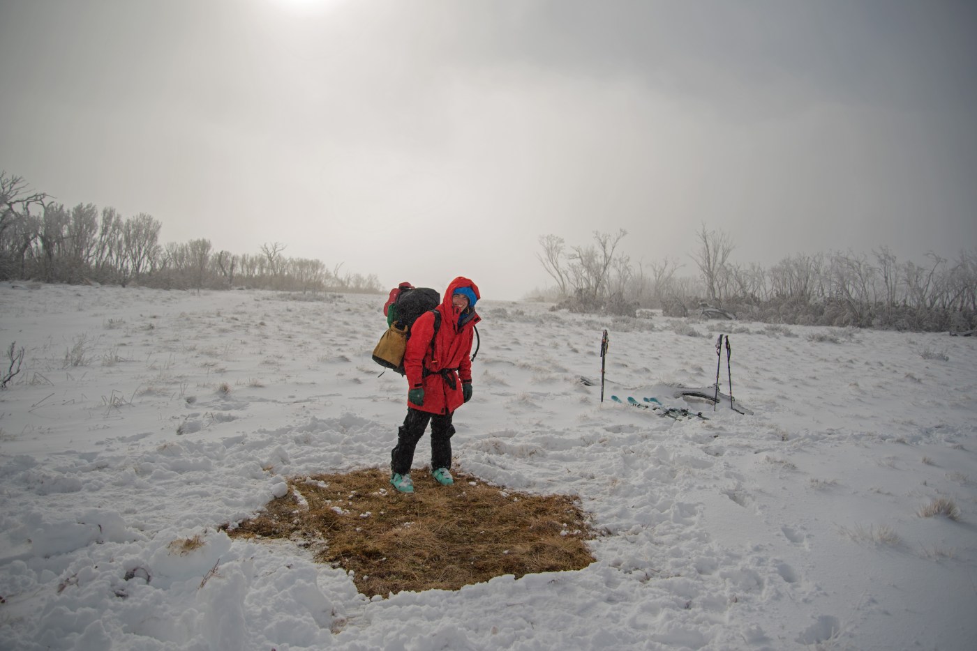
 The Australian Alps Walking Track (AAWT) is one of the premier long distance walking trails in Australia. While the distance (around 650 kilometres) is impressive, it is the fact that it passes through so much remote country that makes a full crossing such a feat. Unlike many long hiking tracks around the world there are only a small number of points to easily get off the track or to resupply, and this adds to the pre planning and commitment required to walk across Australia’s highest country.
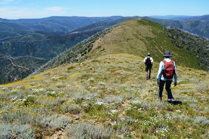
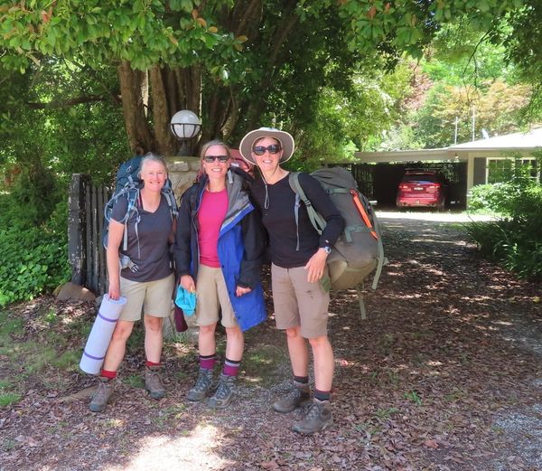
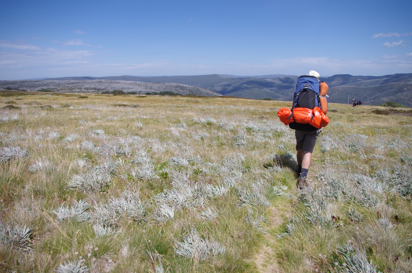
Mountain Journal often features stories from people who have walked the track. This reflection from Jon Miller represents a trip based on an unusual SOBO (south bound) journey. Unlike many people, Jon and his friend Cath walked from the ACT south into Victoria.


Recent Comments