The 2024/ 25 fire season was a long one in south eastern Australia.
While there were large and destructive fires in western Victoria (particularly in the Grampians (Gariwerd) National Park and Little Desert National Park – details here), there were no enormous ones in the mountains. But if you track what happens in the high country, you will recall that we did have a number of significant ones last summer, including the Mt Matlock fire in the Thompson River catchment (which provides drinking water for Melbourne) and the Mt Margaret/ Licola fire, which grew to around 5,600 hectares. There are some resources on these fires available here.
There is a significant story from this latter fire which is worth retelling.
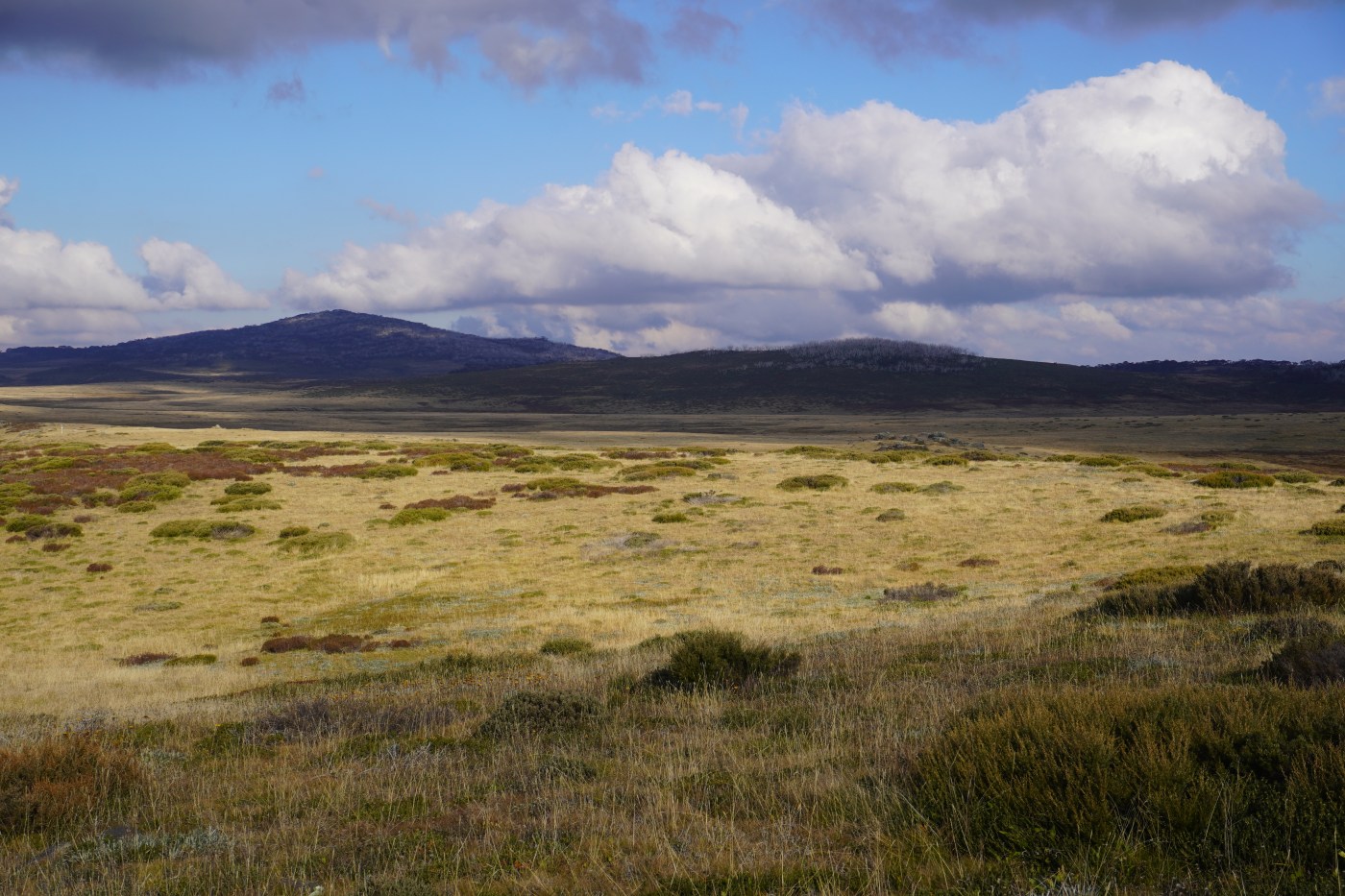
It’s a perfect autumn morning in Pretty Valley. The grass and tents are frosted with ice, the air is cold and invigorating, the silence immense. Sitting and waiting for the sunlight to spread across the plains from the hills to the west, it feels so silent you can hear the earth itself humming. In the shallow valley below, white mists form above the marshy landscape and braided waterways, rising until they meet a temperature inversion, which creates a ceiling effect that stops further upward movement. The flat topped mists then flow slowly towards the south east. Finally, the sun starts to warm my back. The air fills with bird call, the parrots sweep through, chitting as they fly past. After a cold night, it seems like everyone and everything is glad to be alive this morning.
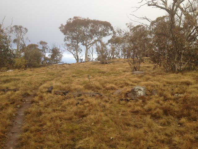
Tali Karng is a magical lake, tucked away in the mountains north east of Licola in the Victorian high country.
According to Parks Victoria, Tali Karng is the only natural lake within the Victorian Alps. ‘Held behind a rock barrier created thousands of years ago, the underground stream it feeds emerges as the infant Wellington River 150m below in the Valley of Destruction’. It is about 14 ha in size and sits in a deep valley. It has been a hugely popular walking destination for decades, especially with scout and school groups, and ‘doing the Tali Karng’ walk is a rite of passage for many as they transition from weekend to longer walking trips. It is also a place that reflects the changing way we view, manage and visit our wild natural places.
The lake is on the traditional lands of the Gunaikurnai people, most likely members of the Brayakaulung clan. When I first visited Tali Karng at 15 years of age, I had no idea of the First Nation connection and we often camped by the lake. There was no signage or acknowledgement of the traditional owners. At that point I had no awareness of Aboriginal people in the mountains and I assume that was the same for most people who loved bushwalking.
That started to change after the Gunaikurnai won a Native Title determination in 2010.
Most fires in the mountains (so far) have been in the foothills (see news item below from The Gippsland Times) or East Gippsland. However the CFA is now reporting fire activity in various locations in the high country.
There is a fire roughly 20km NNE of Benambra Township and the high ridge country near Mt Matlock. Check the CFA site for details.
As of friday morning, Jan 17, the CFA is reporting that
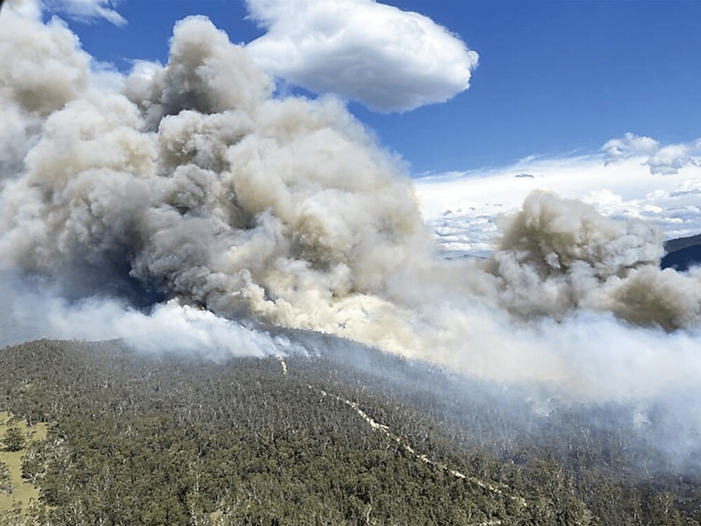
Firefighters are responding to a fire in the TAMBORITHA-CAREY RIVER area 15kms NE of Licola.
UPDATE ON TAMBORITHA FIRE, Jan 22
Fire is still going, now 150 ha in size, and the regions identified below are still closed.
UPDATE JAN 19
The fire is currently 120 hectares in size.
The Lake Tarli Karng walking track network is closed. Visitors should also stay away from tracks north of the Avon Wilderness area and the Mount Wellington to Millers Hut 4WD area.
JAN 17 NOTE ON TAMBORITHA FIRE:
Campers and walkers in the Carey River catchment, north of the Avon Wilderness Park, the Lake Tarli Karng track network and the Mount Wellington to Millers Hut 4WD area are advised to leave and all visitors should stay away from these areas.
Ground crews will be checking for vehicles and walkers, with air support if necessary.
Additionally, there is advice for Ensay, Omeo, Swifts Creek, Benambra:
Firefighters are responding to a fire in the 33 KM NE SWIFTS CREEK area in the vicinity of Brumby Rock.
There is currently no threat to communities, but you should continue to stay informed and monitor conditions.
Fire crews battle High Country lightning blazes
FIRE conditions are predicted to significantly worsen on Friday with Severe Fire Danger Ratings forecast across Gippsland.
For Sale a top temperature of 41 degrees has been forecast for Friday with a light shower of two and the chance of a thunderstorm from the early afternoon.
Work by DEPI, Parks Victoria and CFA fire fighters on Wednesday prevented the spread of many fires across Gippsland.
A band of lightning crossed parts of central and east Gippsland and sparked many small fires.
The majority of these fires have been in the area north of Briagolong and the area north of Bruthen.
Firefighting aircraft and dozers were dispatched to support firefighters on the ground.
Gippsland regional fire controller Bryan Russell commended fire crews for their speedy work in very hot and uncomfortable conditions.
As the Gippsland Times went to press crews were fighting fires at Briagolong, Dargo, Treasures, Waterford, Castleburn, Cobbannah.
In the east fires were also burning.
An all clear advice had been issued for fires at Mossiface, Bruthen and Wiseleigh.


Recent Comments