Lake St Clair is at the southern end of the Cradle Mountain-Lake St Clair National Park. It is the deepest lake in Australia and sits in the headwaters of the Derwent River, which flows out to the ocean just near Hobart. It was carved during several glacial periods, over the last two million years. This glacial action is most obvious in some of the surrounding rocky peaks. Its indigenous name is Leeawuleena, which means “sleeping water.”

Lake St Clair is perhaps best known for sitting at the southern end of the famous Overland Track. Nowdays, most Overland walkers catch the ferry out from Narcissus Hut, avoiding the last days wander along the estern shore of the lake. While it is fairly popular with folks who have sea kayaks, it is one of the great secrets for those who want to tour in open canoes, with easy road access, lots of great campsites, and a big patch of open water.
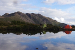
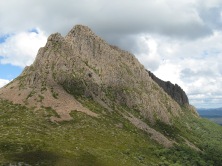
You can put in at the boat ramp at Cynthia Bay and paddle north, around the top end of the lake, then back southwards to do a complete circumnavigation. The wind conditions can vary incredibly: in a south westerly, the western shore – which is protected by the Olympus Range – can be nice and sheltered. But with a north westerly, which often blows hard down through Byron Gap, the whole lake starts cranking sometimes quite considerable waves. With a length of about 16 km, it can generate some substantial swell. Check the weather as you leave and make a call on whether to go up the east or western shore. Its a pleasant three day paddle, although you could easily spend a week on the waters, with a camp or two on the western shore: beaches covered with drift wood and backing onto old growth rainforest, on the grasslands at the northern end, and the wonderful sandy sites under Mt Ida (the spectacular sharp peak up against the Traveler Range on the east side of the lake). If the moon is right, a camp out on the rocky eastern shores down towards the dam wall can offer moonset views over the Olympus Range.

There are great side walks if you have the time: up the eastern slopes of Mt Olympus (best bet is from Echo Point hut), a myriad of trips out of Narcissus hut, and the steep off track climb up Mt Ida. One of the beauties of traveling by canoe is that you can take heaps of food, hence dragging the days out and being able to carry all sorts of luxury items.
Please don’t camp within sight of the walking tracks or the tourist area around Cynthia Bay or on the famous Frankland Beaches. You will need a Parks Pass to be on the lake.
If you don’t have your own boats, there are various places you can hire from.
Canoe n Surf in Devonport has a good range of kayaks and canoes for hire.
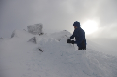
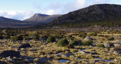
The following are some images from a trip in early 2010.


Leave a comment