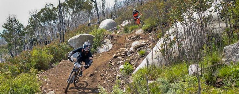
Lake Mountain Alpine Resort has produced a great new A2 sized map which details the walking, mountain biking and ‘shared trails’ on the mountain.
 The map covers the area from Keppel’s Hut up to the plateau and all its ski trails, and then all the way down to the entry station at the turn off on the Woods Point Road. There is now an increased range of tracks then were previously available as a result of work by Lake Mountain staff in connecting existing separate tracks, and this has opened up some really great extended day walks.
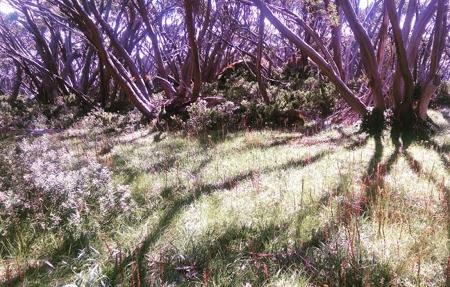
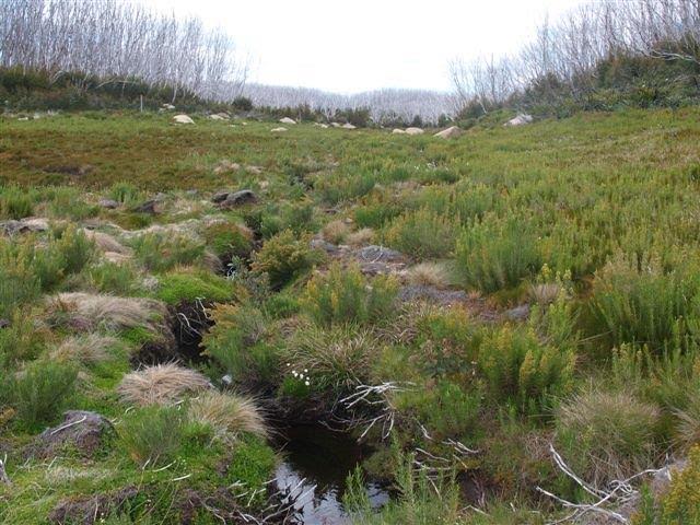
The map contains details of a number of suggested walks, as well as photos of some common flora which visitors may encounter at Lake Mountain.
The map will be available at the Lake Mountain resort and a number of tourist, bushwalking and cycling outlets. Anyone having trouble finding a copy is welcome to contact Sue Parry, the Lake Mountain Environmental Officer via sue@lakemountainresort.com.au


Recent Comments