Join the Friends of the Earth Melbourne forests campaign at Patagonia Melbourne for an evening to hear all about our Alpine campaign and where to next.
We’ve been raising awareness through community events about the special Alpine regions, highlighting the incredible outdoor and nature values that are at risk due to the impacts of logging.
With the state government’s recent announcement that it will end logging by Jan 1 2024, there is now a good chance that we can expand protections for these areas, safeguarding their future and adequately addressing the needs of vulnerable ecosystems in a rapidly changing climate.
There is still much to do: we will need to listen deeply to the aspirations of First Nations people, influence government decisions in coming months, and continue our advocacy and citizen science work in the high country.
Please join us on October 11 to be educated and inspired to take action to protect the mountains and forests that we all love.
The evening features some great short films and updates on what’s happening in the Alps.
- Campaigning in the high country. Alana Mountain is a forests campaigner with Friends of the Earth. She has been working to see high country forests protected from logging.

Image: Alana in the Vic high country
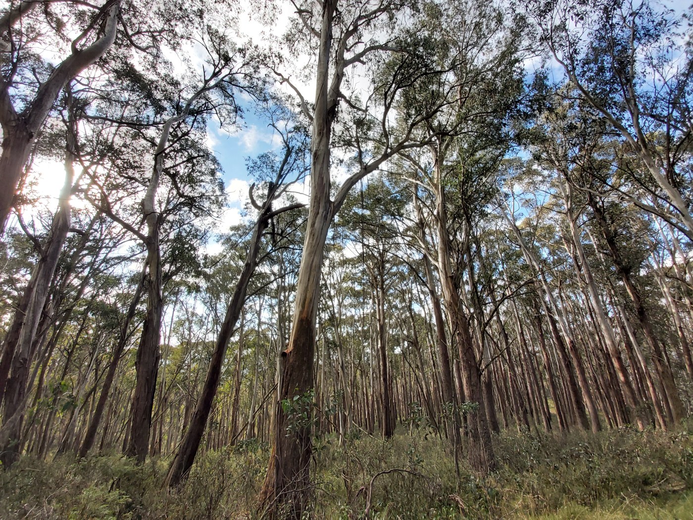
- The nature of Australia’s high mountains are changing. Recent, repeated landscape-scale fires have burnt much of the subalpine forests dominated by Snow gum. Long-unburnt forests are now exceedingly rare. John will identify where long-unburnt Snow gum persists in the Victorian Alps and outline why management intervention is necessary to protect these unburnt refuges.
John Morgan is a plant ecologist from La Trobe University who has a passion for documenting high mountain floras, their dynamics over long timescales, and how they are faring in the face of invasive animals, less snow and increasing frequency of fires.

Image: John Morgan
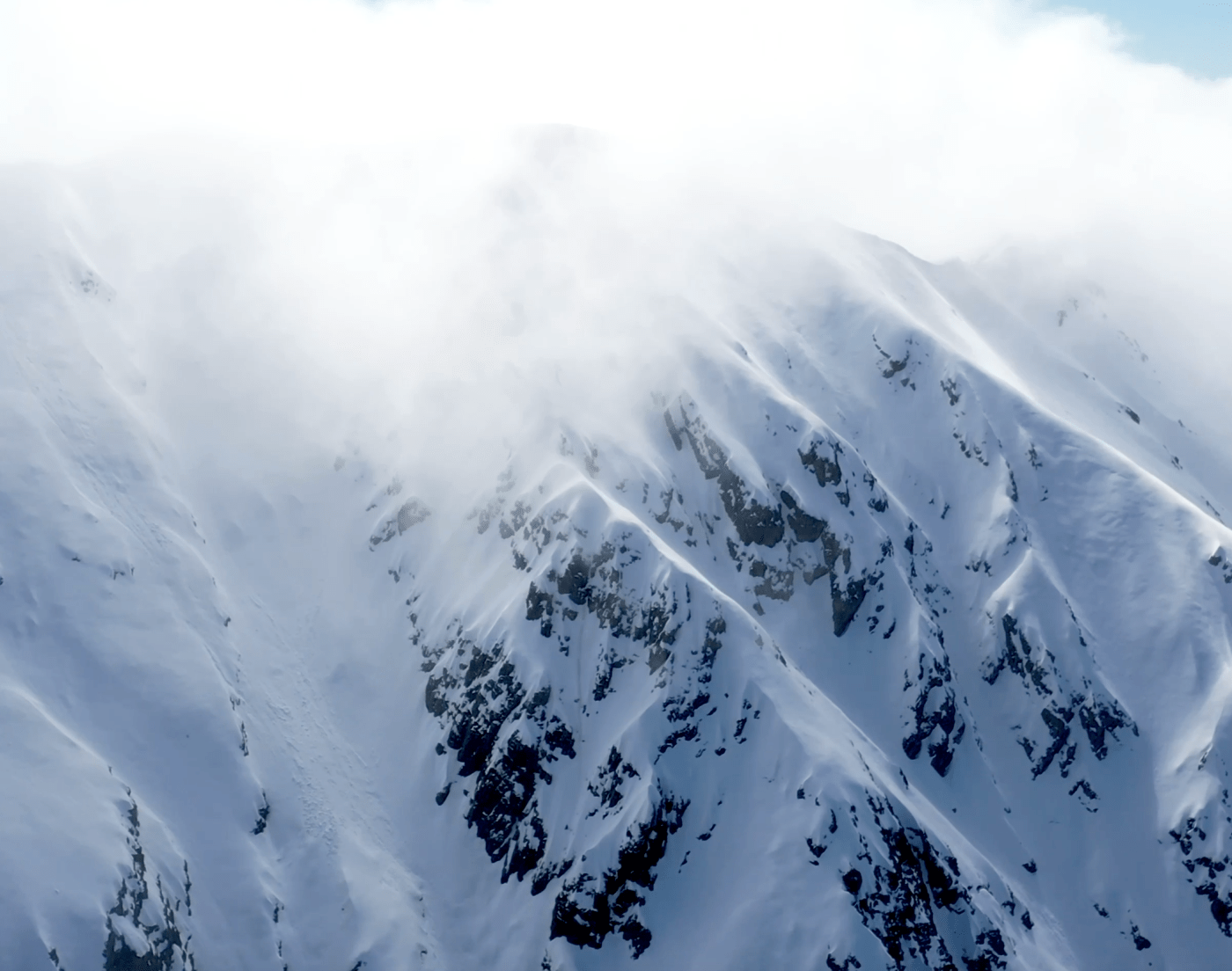
The Australian Alp – Taylor Bennie-Faull
Mt Feathertop’s striking beauty holds a special place in the hearts of the Australian backcountry snow community. As one of the only mountains here that resembles its northern hemisphere counterparts, The Australian Alp tells a story of the profound impact it’s had on a group of keen explorers.
Taylor is a documentary filmmaker based out of Melbourne who seeks to empower viewers through connecting them to the deeper emotions of storytelling. He’s been active in outdoor sports from a young age which has fostered his love for the natural world and ways to reduce ecological footprints. His aspiration is to use his documentaries as a means to engage others with the environment.
This gorgeous 12 minute film is a homage to one of our favourite mountains.

Cam Walker from Friends of the Earth will open the evening. Cam has been working on a range of issues in the Alps for many years, and co-write the Icon at Risk report which outlines threats to the Alps. He recently wrote this piece for the Patagonia blog Roaring Journal.

Register your attendance, see you there!
This is a free event but we ask you to rsvp for catering purposes.
https://www.melbournefoe.org.au/foem_alpine_event_patagonia


Recent Comments