So, the first major dump has passed over the Alps, with snow everywhere!
This update comes from Bruce at Wilderness Sports in Jindabyne.
A deep low, well to the south of Tasmania is moving slowly to the southeast. A ridge of high pressure extends across the far north of New South Wales from a high centred over South Australia. The high should move to the Tasman Sea on Friday. The next major cold front is expected to reach the far west of the state Friday night, before bringing another vigorous and colder west to southwesterly airstream over the weekend.
In terms of backcountry conditions on the Main Range:
BACKCOUNTRY:
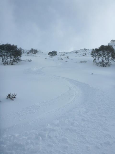
Lots of wind and drifting snow continuing to build the snow cover on the Main Range with a further 20+cms over higher peaks. Looks so promising with the forecast of solid snowfalls continuing this week. The base will have consolidated improving backcountry skiing & Snowshoes are pretty useful at the moment to get about. Once the weather clears it will be really good but while the weather is wild and woolly patience will be rewarded so use more sheltered spots to get out. Resort Cams show building snow cover!
The NEW Cam looking towards Mount Kosciuszko is sensational to assess conditions (But not when blizzard conditions prevail).
“From field observations exposed slopes in the area averaged 40-50cms. Cross loaded terrain averaged between 50-80 cms. Protected slopes snow depths started at 70 to130+cms”.
Check the weather page on www.wildernesssports.com.au for more updates on the weather throughout the week.


June 26, 2014 at 11:40 am
Cool. Quite a change from last year.