
Hydro power has reshaped the landscape of lutruwita/ Tasmania, and was the centre of political power in the state for many decades. It was only in the 1980s, during the campaign to stop the Gordon-below-Franklin Dam from being built, that this power was really challenged. Now the time for new hydro is done, and there is a live debate about draining and restoring the famous Lake Pedder in the south west of the state.
Like many mountain places in NSW and Victoria, the impacts of the hydro both fade and remain. The old workers towns in the Snowy Mountains or Bogong High Plains are long gone but the dams, aqueducts, roads, huts and other infrastructure remain. The very flow of the Snowy River was profoundly changed by the dams in the headwaters of that very special river. In the Snowy Mountains, the Snowy 2.0 hydro project sees huge numbers of trucks on mountain roads and a large ecological footprint as new tunnels are bored.
But, more and more, those huge impacts appear in the rear view mirror and, in many places the land is in recovery despite ongoing impacts.
In many of the places I visit, the impact of the hydro is still obvious: the stream beds that might suddenly fill with water due to a dam release (much loved by paddlers who join the Snowy River Extreme Race), the weird old infrastructure you stumble on, like concrete pads where bunk houses used to stand, or the Hydro roads (which often give access to remote peaks).
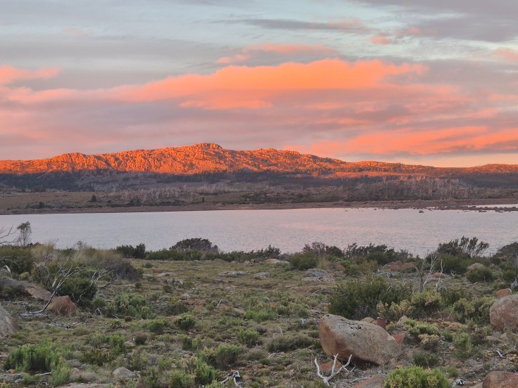
Lake Mackenzie, on north western edge of the central plateau in lutruwita is one of my favourite places. I think mostly because it gives easy access to so much incredible alpine and sub alpine terrain, with what feels like endless opportunities to explore and camp beside lakes and tarns among old pencil pine and inspiring rocky mountains.
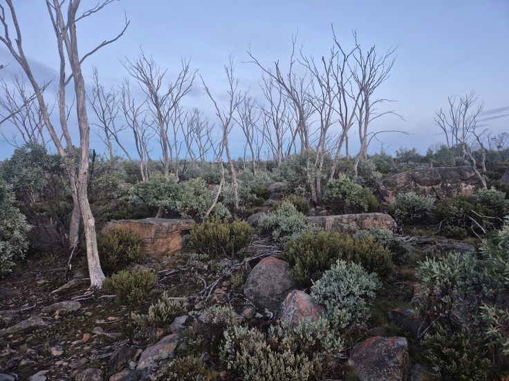
I feel strangely drawn to the landscape up there. But when I drive up from the forested country of the Mersey River valley, I feel sad. Long kilometres of burnt over country, snow gum trunks greying against the sky, hydro infrastructure everywhere. Roads, powerlines, concrete channels, the long dam wall. Even the river has been displaced, with a spill way and new stream line built by machine out the side of the valley. It’s been so industrialised and transformed.
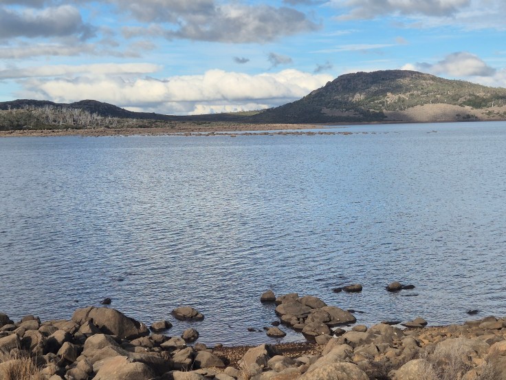
But it also has a deep sense of the sublime. A big shallow valley arcs up from the dam to the peaks that act as the edge of the Great Western Tiers. Uncluttered landscapes that make for easy walking. Scattered groves of pencil pine. Wallaby’s browse and the moonrise over the water can be so still and serene it breaks your heart.
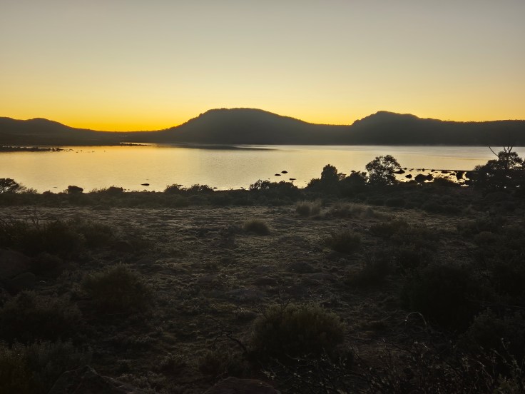
Last visit there I spent two nights camped on that exposed spot on the west end of the dam wall. Backdrop of grey dead snow gums, and moon rise across the water to the east. This place has endured. It outlasted the era of industrialisation, when it only mattered because of what it could offer to the economies of human life in the lands below. Now, thankfully we can see the other values and opportunities: solitude, biodiversity and intrinsic value, dark skies, silence, recreation. Now the land waits, and recovers, slowly breaking down the concrete pads of long ago housing. It has survived and thrived, in spite of our attempts to bend it to meet our desire to commodify nature and everything that remains wild.
Even in a time of global heating there is deep steady resilience in the wild lands. The places that are healthy now are most likely to survive the onslaughts that are coming. I am always thankful for these places, and the people who campaigned before us to secure their protection.


Leave a comment