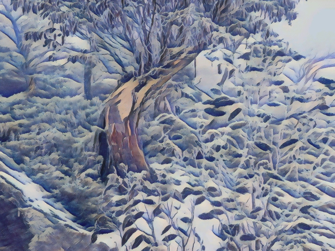
Search

Mountain Journal

Environment, news, culture from the Australian Alps

VIC backcountry festival 2024

The first Victorian backcountry festival was held at Falls Creek in 2018. It is now a significant annual community event, based at Mt Hotham – and touring the surrounding mountains – and draws several hundred people each year.

The 2024 festival will happen over the last weekend of August (three days from August 30 until September 1). There is a new convenor this year, Ryan Miles, and a larger organising team. It is a 100% volunteer effort, by the community and for the community.

While we are still working out the details, and the format will be slightly different this year, it will be along the same lines as previous years: built around a great program of tours, there will be workshops and events happening on each night – Friday to Sunday – including great speakers and films.

Keep an eye on the website for updates and announcements on ticket sales and the touring program.

VCAT appeal against development on Rocky Valley foreshore

There is a proposed development of the Rocky Valley Lake foreshore above Falls Creek, which is focused on the old Australian National Antarctic Research Expedition (ANARE) shed, which needs to be renovated to be usable.

The proposed developments are intended for year round use, meaning that the clearing of the Bogong High Plains road (which currently ends at the gate near Windy Corner) will be extended through to the Lakeside site. This will result in loss of crosscountry skier access, which FCARMB says will be ‘offset’ by an upgraded track to Nordic Bowl and beyond.

The new development will have a number of businesses, parking and public facilities and act as the staging point for winter backcountry touring on the east side of the High Plains.

Now a traditional owner group (Jaithmathang TOBOO ) and the Cross Country Skiing Association of Victoria have lodged an appeal against the notice of decision to grant a permit for the Falls Creek ANARE Shed Redevelopment at the Victorian Civil and Administrative Tribunal (VCAT). A local resident is also listed as an objector. Jaithmathang TOBOO have expressed concerns about lack of consultation on the development proposal.

Continue reading “VCAT appeal against development on Rocky Valley foreshore”

Wild Places and the social media ‘positive feedback loop’

I have lost track of the number of times I have stumbled into one of those ‘instagram is killing the places we love’ conversations but, after a busy summer in the mountains, its hard to ignore the ever growing numbers of people out on the trails.  I saw this recently in Outside magazine:

If you’ve talked to any longtime outdoor enthusiasts in the last few years, you’ve probably heard some grumbling about how crowded the campsites are and how difficult it’s become to find trailhead parking. And they’ve probably attributed the uptick in popularity of outside activities to social media, where widely shared photos of beautiful sites draw crowds.

Continue reading “Wild Places and the social media ‘positive feedback loop’”

Protect Our Winters report: Our Changing Snowscapes

We have known for years that climate change is reducing the overall amount of snow we receive in Australia. The snow pack has been in decline since at least 1957. We also know that the loss of snow is being felt especially at lower elevations and will have enormous impacts on the local economies that have developed around the mountains.

Today Protect Our Winters (POW) have released a comprehensive update on the threats posed by climate change – to snow pack, the mountain environment and animals who rely on a thriving ecosystem, and downstream rivers, and also the impacts on the local economies that rely on good snowfalls.

Continue reading “Protect Our Winters report: Our Changing Snowscapes”

Navigating Your Way in the Mountains

Recently in a post about navigation on Mountain Journal I asked if, in the electronic era, there was still a role for traditional tools such as the paper map and compass.

In this post Kelly Van Den Berg, who trains people in navigation, offers her thoughts.

Traditional navigation skills in the mountains? Do we actually need this skill?

In an age of robust and accurate electronic devices, where do the traditional map and compass fit in ?

Up until a few years ago, all of my navigation experience was with a map and compass. I was thrust screaming into the electronic era after taking some work as a Backcountry guide. I quickly had to launch myself into understanding what these newfangled electronic things were all about as I pretended to understand how to download GPX files into programs I’d never heard of late at night in the days leading up to tours.

This process certainly made me realised how out of touch I was, but it helped me to realise something way more useful …how much my traditional skills overlapped and complemented the modern adaptations and that the dark arts were far from obsolete.

Continue reading “Navigating Your Way in the Mountains”

Why did you walk the AAWT?

Long distance walking tracks have a strange allure. They wind through incredible landscapes and offer us time out, an opportunity for reflection and challenge, and a chance of meeting ourselves, others and the land itself.

There are, of course, many great long distance walks in Australia. Some well known like the Overland Track in lutruwita/ Tasmania, and some less known such as the Penguin to Cradle, which starts at Bass Strait on the north coast of Tassie and allows a connection with the Overland, or the McMillans Track, which follows an old route cut through the mountains of Victoria.

Then there is the Bibbulmun Track in WA, which stretches 1,000 km from Kalamunda in the Perth Hills, to Albany on the south coast, winding through the heart of the scenic South West of Western Australia.

Of course, it is the Australian Alps Walking Track (or AAWT) that stands out as our premier long walk, stretching almost 700 kilometres from Walhalla near Victoria’s Latrobe Valley almost all the way into Canberra. Unlike many famous long distance walking tracks, the AAWT is very much a solo effort. Rather than there being mass numbers of walkers starting each day, it is possible to go for days on end without meeting another human. In some sections the track is sketchy or overgrown. The track goes through or past very few human settlements so resupplies can require a bit of work to organise.

Continue reading “Why did you walk the AAWT?”

Celebrating the survivors

Across the mountains of south eastern Australia, climate change is already driving profound change. In many places in the high country, snow gum forests are facing a double threat: dieback, caused by a native beetle is killing individual trees, and climate change driven fire regimes are devastating vast areas of forest.

Recent research by John Morgan, Michael Shackleton and Zac Walker from the Research Centre for Applied Alpine Ecology at La Trobe University highlights that ‘Long-unburnt snow gum forests (now) comprise less than 1% of snow gum forests in the Victorian Alps’.

We know that snow gums can survive fire. We also know that across the Alps snow gum woodlands are starting to collapse from too frequent fire. That’s why we have to appreciate and protect the old forests that remain.

Continue reading “Celebrating the survivors”

Winter Van Life

‘Van life’ might be a popular Instagram hashtag, but it hides the multitude of reasons why people spend winter in their vehicles. More and more people are choosing to spend their winters outside as they pursue their snow dream. For others it is a necessity as rents climb and erratic winter snow impacts on the availability of work. James Worsfold delves into the issue.

This story originally appeared in the 2024 Mountain Journal magazine (#4). Available as a PDF here > https://themountainjournal.com/2024/03/19/mountain-journal-magazine-4-now-online/

Continue reading “Winter Van Life”

BTAC gets to work on the AAWT

If you have ever wandered on a walking track in the mountains, you have enjoyed the fruits of someone else’s labour. Walking tracks are cultural artifacts that allow us to access the forests, mountains and rivers that we love. Often they follow earlier paths: settlers followed First Nations routes out of Gippsland into the high country. Miners and graziers cut rough tracks into the gold diggings. Sometimes these turned into commerce highways as large population centres grew around the diggings. Nowadays the foot tracks in the high country are all about recreation.

But with increasing fires across the mountains, many tracks can become crowded out through a mass of regrowth. And as trees killed in bushfires start to collapse, many tracks become crossed by fallen logs and the tracks become multiple braids, often ending in dead ends, making navigation difficult and increasing the likelihood of walkers becoming lost. Land management authorities have limited funds to maintain the trail network and have many demands on their time.

Continue reading “BTAC gets to work on the AAWT”

Let’s talk about maps

As I walk up the trails at Mt Stirling towards the summit, I always enjoy this sign. As more and more people get into the high country on foot or ski or bike, its good to remind them that it is another place to the lowlands and forested country, and things can get nasty very quickly. I also reflect that, with numbered sign posts and maps on pretty much every intersection on the mountain, it is almost impossible to get lost (yes, I know, people still manage to do it).

And I love the ‘map and compass’ note. It feels almost quaint and old worldly. And it makes me think about how our ways of navigating have changed so profoundly in the space of a few decades.

Continue reading “Let’s talk about maps”

‘Mountain Redneck magazine’

This year’s Mountain journal magazine is now starting to pop up in various places around the high country. Our ‘distribution strategy’ (such as it is) mostly revolves around me chucking a few magazines in my pack or car as I wander around the Alps. So its all pretty haphazard, and reflects where I get to, which means they don’t get placed right across the Alps. But the 2024 edition is now out there, in spots as random as Cope hut, Moscow Villa and Bluff Spur hut on Mt Stirling.

That means the feedback starts. Its always great to get a message from someone who has found one in a hut. The most common spot is Mt Wills, and mostly from people who are walking the Australian Alps Walking Track (AAWT). The next most common spot is Derrick hut (maybe because I’m out there often, so its easy to keep stocked up).

Continue reading “‘Mountain Redneck magazine’”

Getting ready for winter

Yes, last winter was a bit ordinary. But to be a skier or rider in Australia is to be an eternal optimist (did you see the story this week that hundreds of the world’s leading climate scientists expect global temperatures to rise to at least 2.5C above preindustrial levels this century?) so we have to remain hopeful.

Its May. Its getting cool. Its only a few weeks til the start of the ’snow season’ (yes, it is just a capitalist construct). But its still very exciting that winter is getting close.

Here is the beginning of a list of backcountry events and human powered adventure in the high country. Fingers crossed for a good winter.

Continue reading “Getting ready for winter”

Blog at WordPress.com.

Up ↑