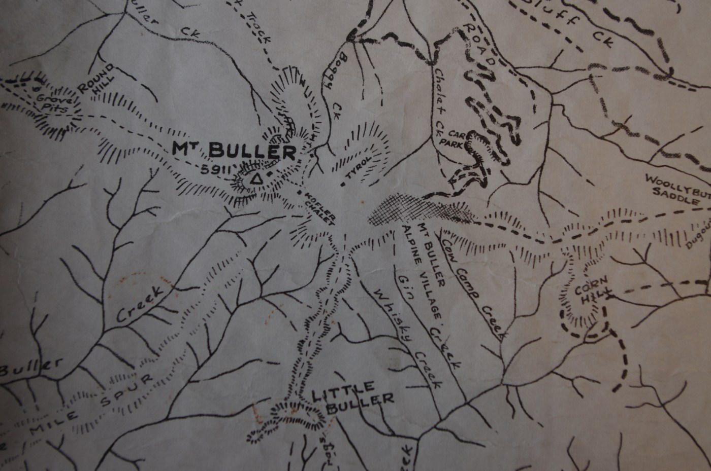
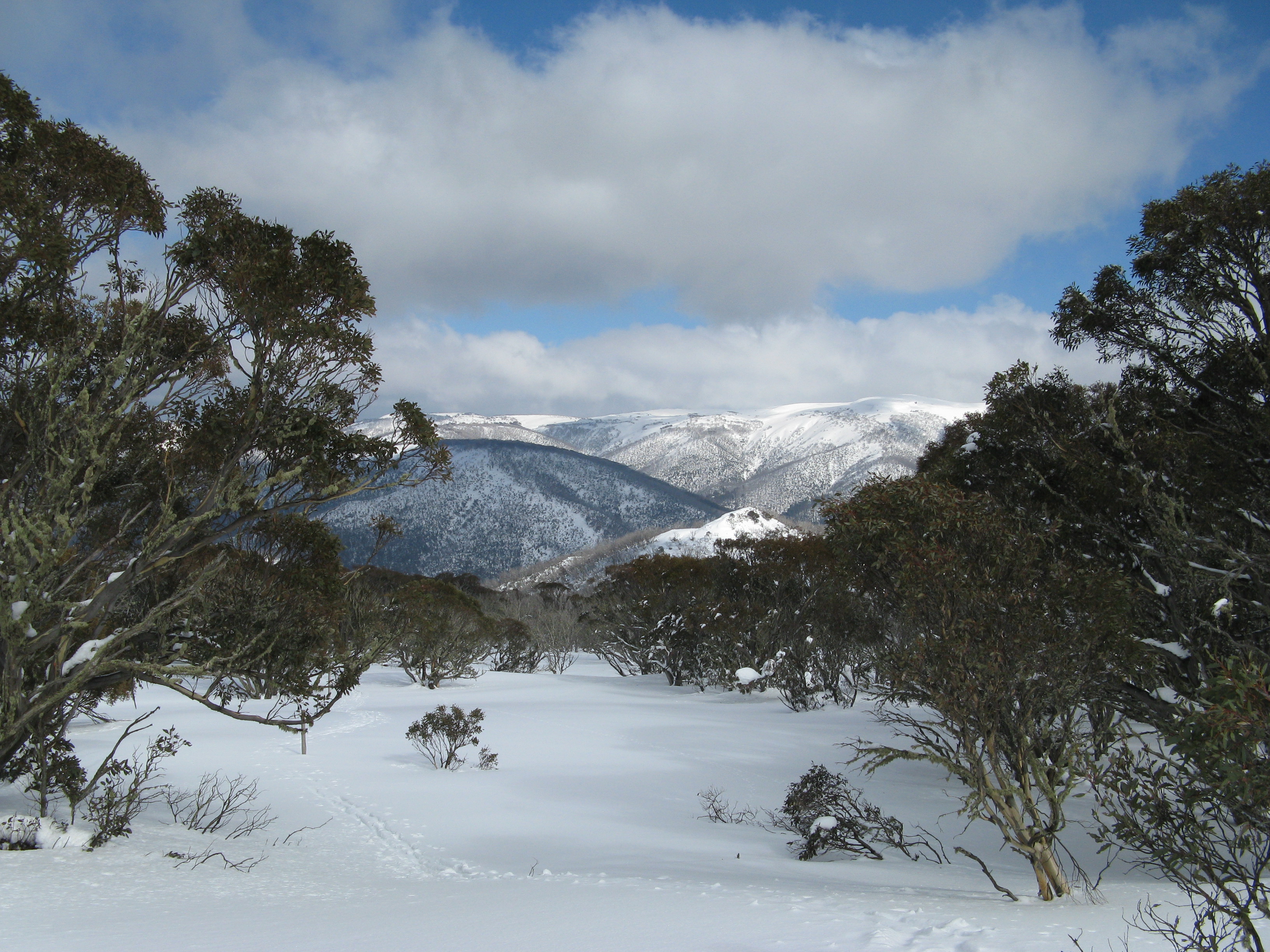
Anyone who has hiked and skied the mountains between Buller and Stirling, and from The Bluff to Howitt and Cobbler and is over 30 probably knows the wonderful maps of Stuart Brookes.
Stuart has produced maps of the Alps and other popular walking areas since the late 1940s. As a teenager on my first walking, snow shoeing and skiing adventures in the area around the Howqua River, I fell in love with Stuart’s black and white map ‘Watersheds of the King, Howqua & Jamieson Rivers’. It had basic landform details shown through shading and all the features that a walker needed: good campsites, places where you could get water on the high ridges, routes and cairned trails rather than just the marked roads. I would get a new version every couple of years, and later versions were in multi colour and had contours. But they still had a sense of richness that are rare in modern maps. This was country that Stuart knew intimately and the maps evoked a rich sense of place.
For anyone who spends time out in nature walking, skiing, climbing, riding, or paddling, it’s always interesting to see who else is out there (separate story coming on this soon). But another aspect of this is how many people are out there. The following excerts come from a longer article on the High Country News (HCN) website by Christopher Ketcham. HCN is based in Colorado.
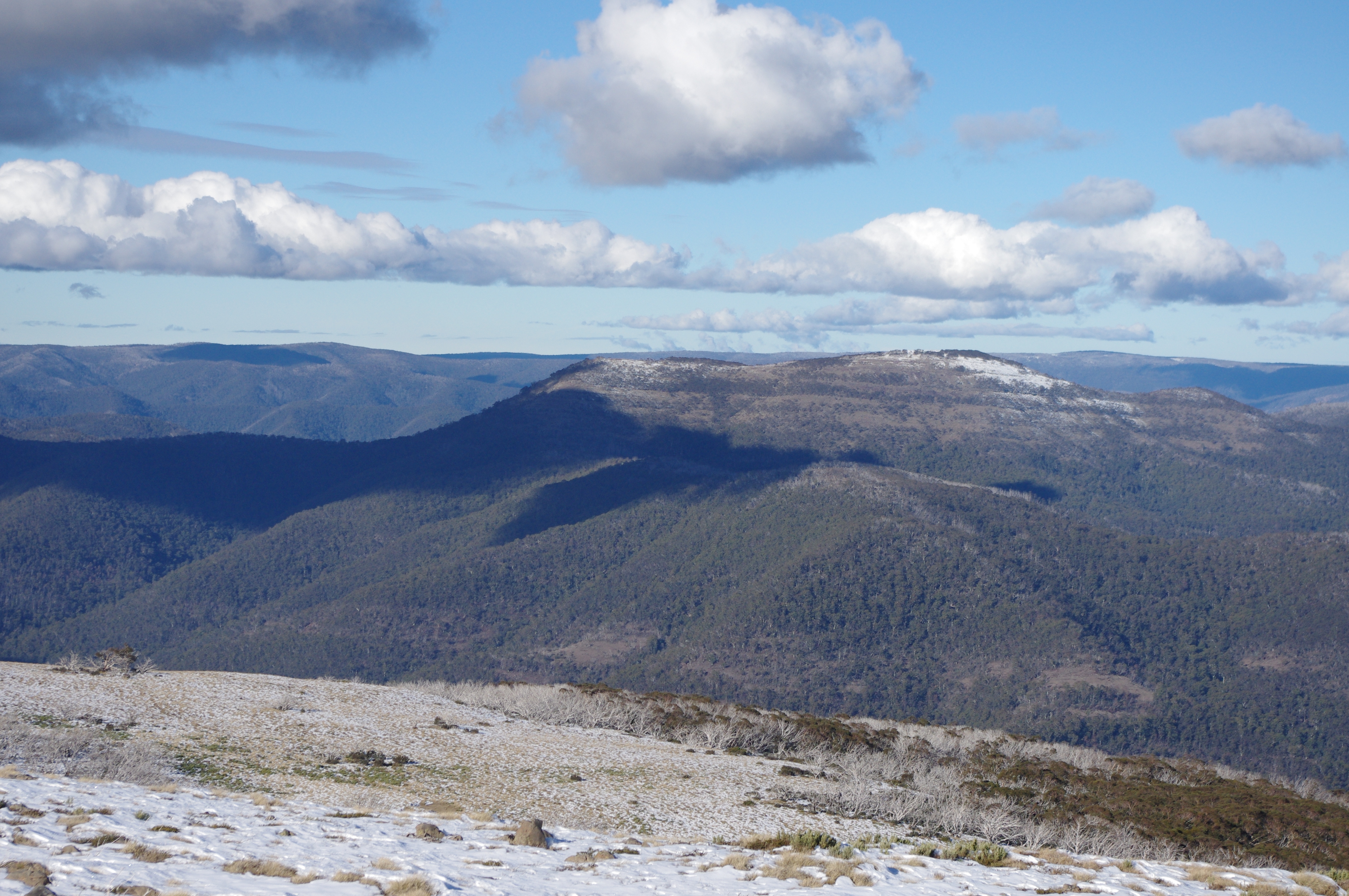
Mt Field National Park, TAS
The premise of the story is that fewer younger people are taking up multi day walking. Various reasons are put forward, including the fact that as a (potentially) low consumption activity there is less reason for the outdoor industry to promote it compared with more gear dependent activities like skiing.
For the past four years, the backcountry film festival has been attracting good numbers of people and is showing in more locations.
It seems like it might be time to have our own festival – with films made in Australia.
At previous Melbourne shows, we have added a film about skiing and boarding on The Bluff, and this year saw OFF GRID, a new effort on Mt Bogong from SoO Airtime.
The plan is to hold an Australian backcountry film festival in late spring 2014 with only local content. There are some fantastic film makers out there, and we hope to be able to showcase some of these.
We are seeking expressions of interest from film makers who would like to submit films.
Any human and gravity powered backcountry adventure would be welcome: walking, skiing, boarding, MTBing, paddling, climbing, …
As this is an entirely volunteer effort, with no budget, we are not able to offer payment for showing the films.
Films can be in two length categories. We hope to show an hours worth of short films (3 to 7 minutes) then up to 2 longer films (30 – 40 minutes).
At this point we are looking at doing a Melbourne showing, with the ability to offer the festival to other places once its packaged up.
“The mountain environment in Australia is unique and unlike anywhere else in the world. The people you meet and the friendships you forge are meaningful and rewarding. The mountain environment can teach us a lot about ourselves as individuals and as a collective. In today’s world of cellular phones, games and other distractions the mountains provide me with a sanctuary were silence is promoted and the human senses come alive”.
John Blankenstein and his family reside on the Far south Coast of NSW. John has been exploring the mountains since the age of 15 were he fell in love with the sport of snowboarding. Being based on the coast so close to the snowy mountains provides ample opportunity for adventure. Over the last five years john has begun exploring the back country and the mountain environment that is on offer in the Snowy Mountains, NSW. Each year the Snowy Mountains provide a range of winter and summer based objectives that require a full suite of mountain skills.
In his first installment for mountain journal, John describes a big day out on the western slopes of the Main Range in the Snowy Mountains.
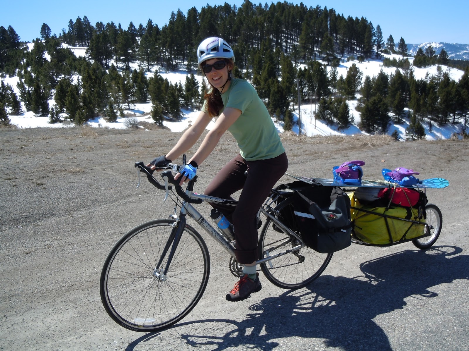
I love these people: Human-Powered Mountaineers use bikes to access the peaks for their adventures (as well as promoting sustainable food production and lifestyles).
Human-Powered Mountaineers is a grassroots organisation that was started by Justene Sweet and Christopher Bangs. Their mission involves climbing mountains completely under their own power all the way from their own doorstep. To accomplish this they incorporate the use of their bicycles to get them from their homes to the trailheads, and then they start climbing from there. They are based in Bozeman, Montana.
They say: Our mission is to inspire people to be passionate about environmental stewardship through bicycle advocacy, and local organic farming. We aim to educate people about creating a positive change in the world through simple daily actions, while continuing to live life to the absolute fullest of potentials.
A current project they have this (northern) winter is to climb and ski the highest peak in each of the 7 mountain ranges that surround Bozeman. All 100% human-powered on a 100% plant based diet.
This project is raising money for our grassroots networks; BIKE TO FARM, and School Slide Show Series.
They attempted all 7 peaks and summited on two.
As they say in the wrap-up, winter human-powered ski mountaineering IS REALLY FREAKING HARD!!!!!!!
Worn Wear is an exploration of quality – in the things we own and the lives we live. This short film takes you to an off-the-grid surf camp in Baja, Mexico; a family’s maple syrup harvest in Contoocook, Vermont; an organic farm in Ojai, California; and into the lives of a champion skier, a National Geographic photographer, and a legendary alpinist. It also features exclusive interviews with Patagonia founder Yvon Chouinard.
Released as an antidote to the USA Black Friday and Cyber Monday shopping frenzy, Worn Wear is an invitation to celebrate the stuff you already own.
Conservation Volunteers Australia and Parks Victoria are calling out for volunteers to help restore remote sections of the 650-kilometre Australian Alps Walking Track.
Last summer saw helpers spend 120 days in Alpine National Park Across repairing 23 kilometres of track, laying 930 metres of rubber matting and installing eight water bars to prevent erosion at locations including The Knobs, Mount Sunday and Mount McDonald.
Park ranger Nigel Watts said: “It’s a win-win situation for us and for them; an opportunity to get out into the Alps, help with managing this area and enjoy this beautiful landscape.
“Remote sections of the track are difficult to maintain over time and help is needed to clear fallen timber off the track, install rubber tiling, brush-cut overgrown vegetation and to install crucial signage and symbols to help guide bushwalkers on their adventures in the Australian Alps.”
The first three projects in Januray and February are rated easy walking but require volunteers who are especially fit and strong to lay rubber tiles and use heavy mattocks over five full days. Accommodation will be provided in Falls Creek.The track work is all on the Bogong High Plains.
The last three projects in March and April are rated hard walking, and involve remote camping in the King Billy/ Mt Magdala/ Mount Clear/Knobs areas.
Check here for a background on the recent upgrade of the walk.
It identifies the walk as being part of a bigger program:
Walk Victoria’s Icons is a trademark brand comprising a portfolio of four long distance walks located in iconic regions renowned for their outstanding natural landscapes, wildlife and cultural values across Victoria. With a vision to be compelling, world-class, year round sustainable walking experiences, the Great Ocean Walk, Grampians Peaks Trail, Falls to Hotham Alpine Crossing and Coastal Wilderness Walk represent the quintessential nature-based attributes of the State – from dramatic coastlines to rugged mountain peaks, from remote waterways and inlets to alpine and sub-alpine scenery.
As four distinct walks the Walk Victoria’s Icons walks are designed to capture discerning high yield experience seekers who have a desire to be immersed in exceptional natural beauty that is supported by high quality products and services.
It is seen as being a
guided 2 day walk of 25km, with potential for 4 days, offers an experience that will be as challenging as it will be rewarding.
So far, so good: more people out in the hills….
The Falls to Hotham Alpine Crossing Master Plan will be lead by Parks Victoria in partnership with Tourism North East, Tourism Victoria and Regional Development Victoria.
The preferred route goes from Falls Creek, around Rocky Valley dam to Wallaces hut, then across the High Plains, descending to Dibbins hut, then downstream along the Kiewa to Diamantina spur, up to Feathertop, and out to Hotham along the razorback.
The documents say:
The main driver for this project is the need for a resolved, design-led, strategic master plan and implementation strategy (the master plan) for the FHAC which considers regional tourism and commercial opportunities in the context of recent changes to public land policy, particularly tourism investment in national parks.
The tender documents show that private accommodation is planned to be developed. Included in the brief for the tender is the requirement that the master plan:
Identify settings where opportunities may exist for potential private sector investment in on-walk roofed accommodation and/or services;
Coming soon to a national park near you? Image: Cradle Mountain huts
They use the ‘precedent image’ of private huts along the Overland Track, Tasmania.
A final decision is expected by 2015.
What do you think?
It is great that the government is providing resources to further develop walking tracks to get more people out into parks.
It is orientated towards a market that is happy to pay to have ‘luxeries’ while in the bush, like high quality acommodation, so potentially brings a new group of people into the mountains, who would currently tend to stay in the neighbouring resorts.
However, it could be the thin end of the wedge in terms of developments within parks.
It will probably bring new walking track infrastructure to what is at present a relatively remote area with only a rough trail (the Diamantina spur).
on the Falls to Hotham track, starting the descent to Cobungra Gap
An $800,000 upgrade to the 37-kilometre trek has been completed and Benalla MP Bill Sykes launched it as one of Victoria’s iconic walks at the weekend.
The upgrade includes camping platforms at Cope and Dibbins Hut, signage and track development.
“The camping platforms maintain the vegetation in the area because they are elevated so people can pitch their tents without degradation,” he said.
“It’s also more comfortable for campers because there will be a breeze from below in the summer time and in the event it rains they are not going to get a wet backside.”
Dr Sykes also announced $50,000 of funding from the Victorian Regional Growth Fund to create a master plan for the next stage of the upgrade.
He said it could include looking at accommodation options along the track.
“There are people like me who are very happy to put in the kilometres during the day but would like a comfy bed at night,” he said.
“Some are happy to rough it with a stretcher and a sleeping bag but then there are others who are happy to be out in the elements but have the comforts of home.
“It widens the appeal if you have that option available.”
The master plan will also include route extensions and Dr Sykes said he wanted to encourage people with beginner and advanced routes.
He said the track upgrades were a priority because there was a growing band of people who enjoyed walking and the companionship gained from doing it in groups.
“We’ve got a magnificent scenery and we will be recognised for the beautiful high country and river valleys.”
Dr Sykes said the upgrade and master plan will lead to economic benefits.
“It will be measured in millions and millions of dollars no question about that,” he said.
Guided walking tours is another initiative Dr Sykes believes will boost tourism.
It’s great to encourage people to get out and walking in national parks. But with the pro-development in parks agenda of the current government, we should always be a bit cautious about their motivations.
For instance, what does ‘accommodation options along the track’ mean? Private huts along the route, as is the case in Tasmania?
The government has said it will support “sensible and sensitive developments in national parks provided they complement environmental, heritage and other values and generate a net public benefit.”
New South Wales Police will appeal to hikers in the Kosciuszko National Park to help in the search for missing Canadian Prabhdeep Srawn.
Two days after recommencing a ground search for the 25-year-old who has been missing since May 13, Monaro Local Area Command Superintendent Rod Smith said police and National Parks and Wildlife Officers were contending with some snow in the search area.
“We are recommencing the search in a limited capacity, using some specialist services available to us.
“We’re going to give that a go this week and then will make a weekly assessment as to when the appropriate time to go back into another thorough ground search but obviously that will be when the snow goes.”
He said SES volunteers were on standby for a broader ground search and that visitors to the area were being asked to remain vigilant.
“We believe that he walked along the Main Range Trail from Charlotte Pass, in an anti-clockwise direction towards Mt Townsend and Mt Kosciusko.
“For people who are out there, we are appealing for hikers in that area to keep an eye out.”
Family members are coordinating a group of 18 volunteers who will arrive from Canada next week to assist with the search.
“All of the information that we’ve got, firmly point us in the direction that we have concentrated our search but of course, we are open to the fact that he may not be in that particular area which is problematic because it is such a massive, vast area.”
Mr Srawn was last seen on May 13 when he parked a rental car in the Charlotte Pass Village before setting out in fine conditions to hike near Australia’s two highest peaks, Mt Kosciuszko and Mt Townsend. His disappearance was reported a week later, prompting a large air and land search over two weeks. The 30-person search was abandoned on June 1 ahead of heavy winter snowfall.
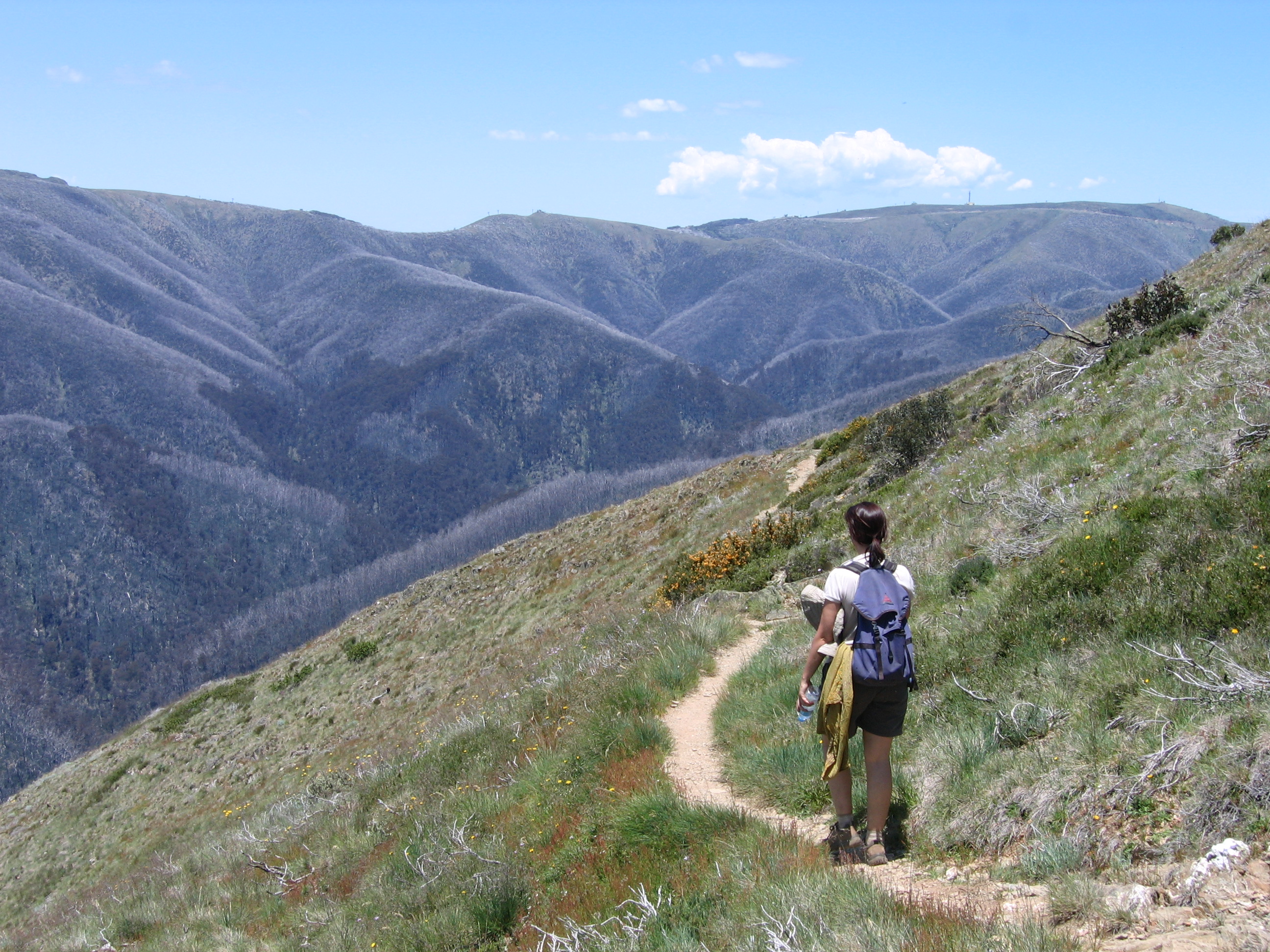
The week’s craziness dissipates with every step, evaporating and blowing away. Another wave of clouds come through and I pause under a big old tree, waiting for the rain to pass. Behind me, what sounds like a frogmouth ohms its call, and as a rainbow breaks over the shallow valley in front of bright cumulus, the kangaroos slowly emerge from under cover and start grazing again. The stream is flowing clear, and everything is still green in a flush of late spring growth.
I am reminded, as I often am, of how walking is the only real way to experience landscape on an intimate scale. Surfing and cross country skiing are the same. Once it gets mechanical, you’re generally moving too fast to catch the nuances of landscape.
It also got me thinking about the frame of mind that can help to drive and inform your walking.
The Victorian government has announced that it is intending to introduce charges for overnight hiking and camping in more than 100 of our state and national parks.
In addition to increasing existing fees at car camping spots that have basic services, there is a proposal to introduce “overnight walking” fees.
You only have til COB this Friday, November 22 to make a submission.
There are so many issues regarding these proposals that it’s difficult to know where to start. Firstly, however, I have to say that I’m astounded at the size of the proposed increase in camping fees. A fee of almost $50 for an individual to stay one night at a campground designated as having a ‘high’ level of facility and service is simply outrageous.
Many park users are travelers who don’t plan ahead but simply ‘roll-up’ to various campgrounds. So who thought it was a good idea to confine those park users to an online booking system upon arrival at the campground?


Recent Comments