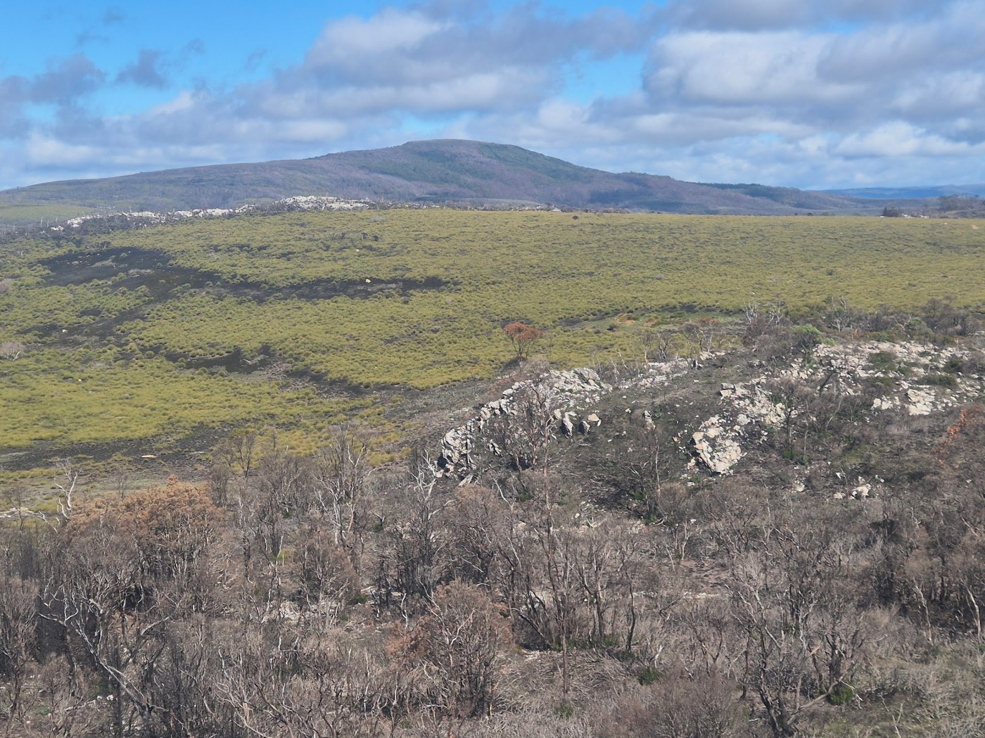
In February 2025, more than 20 fires were started by dry lightning strikes in western lutruwita/ Tasmania.
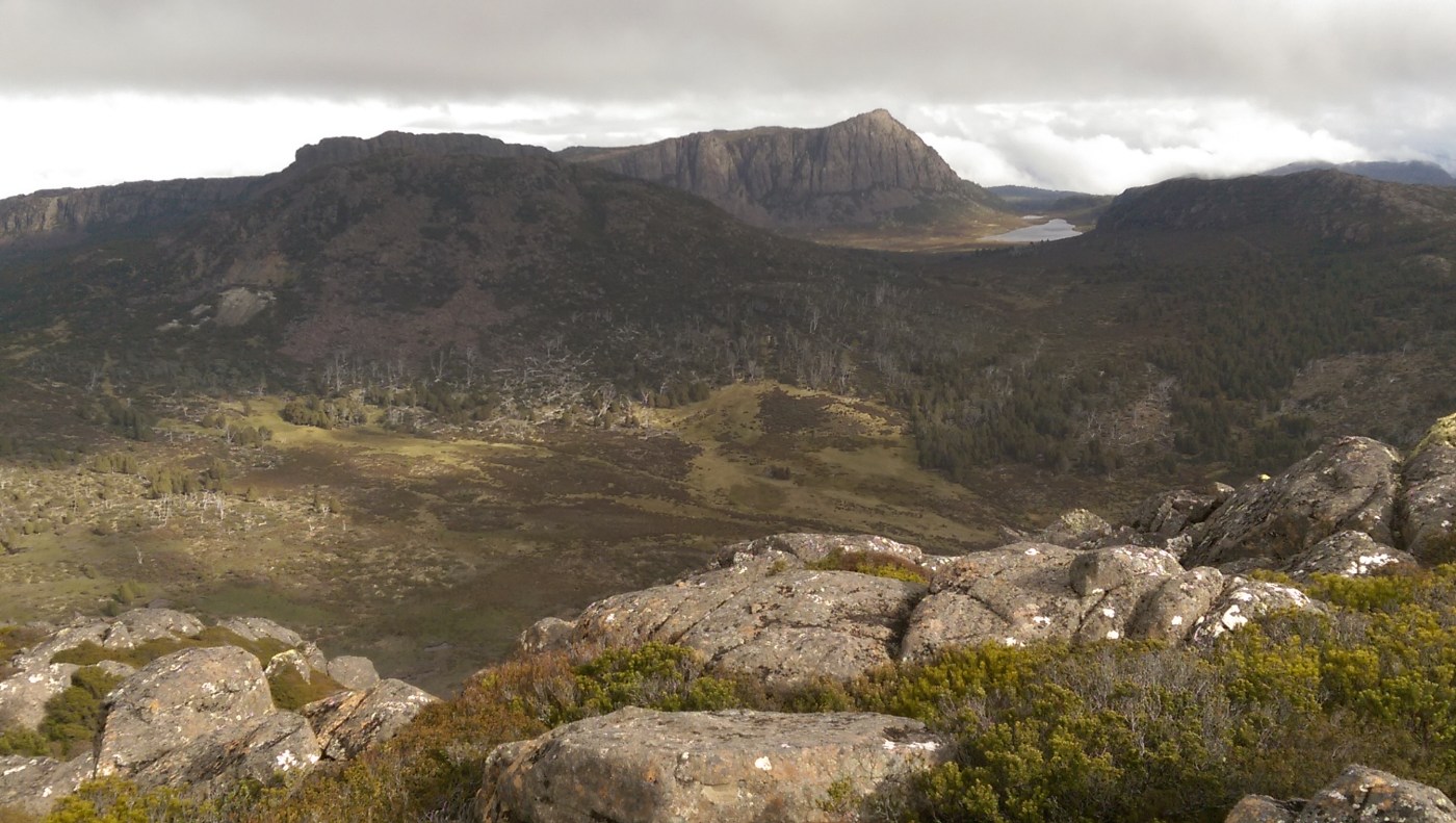
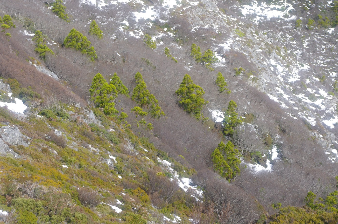
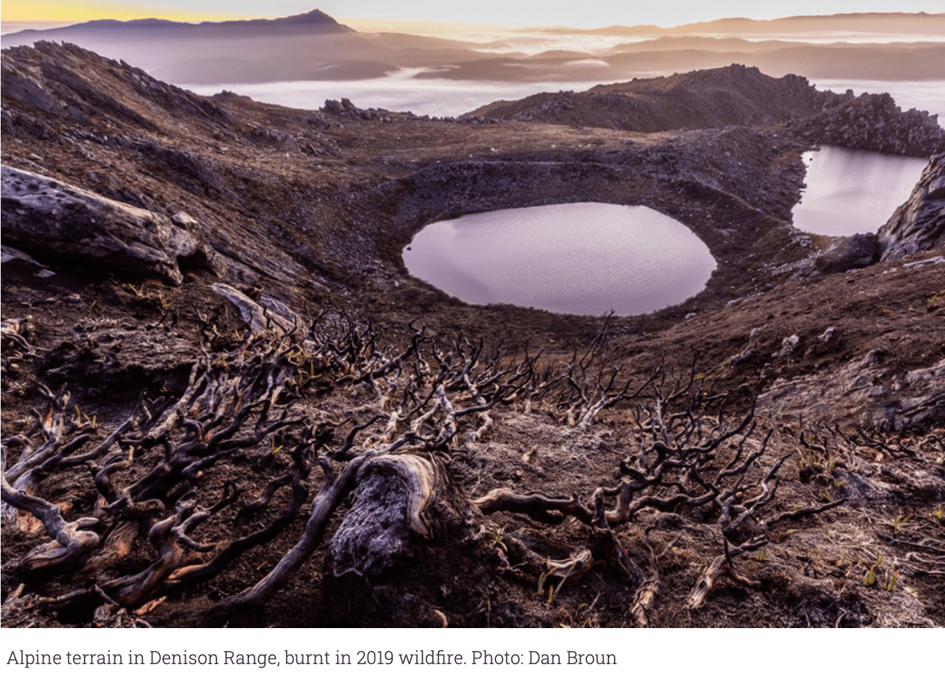
Some small blazes were quickly extinguished, and those that got away went on to burn more than 90,000 hectares of Tasmania, especially public land and within the Cradle Mountain Lake St Clair national park. The Canning Peak fire burnt sections of the famous Overland walking track (around 860m of boardwalk and a foot bridge were damaged), precious sections of pencil pine and other fire sensitive communities were impacted, and a hut belonging to a guiding company was lost.
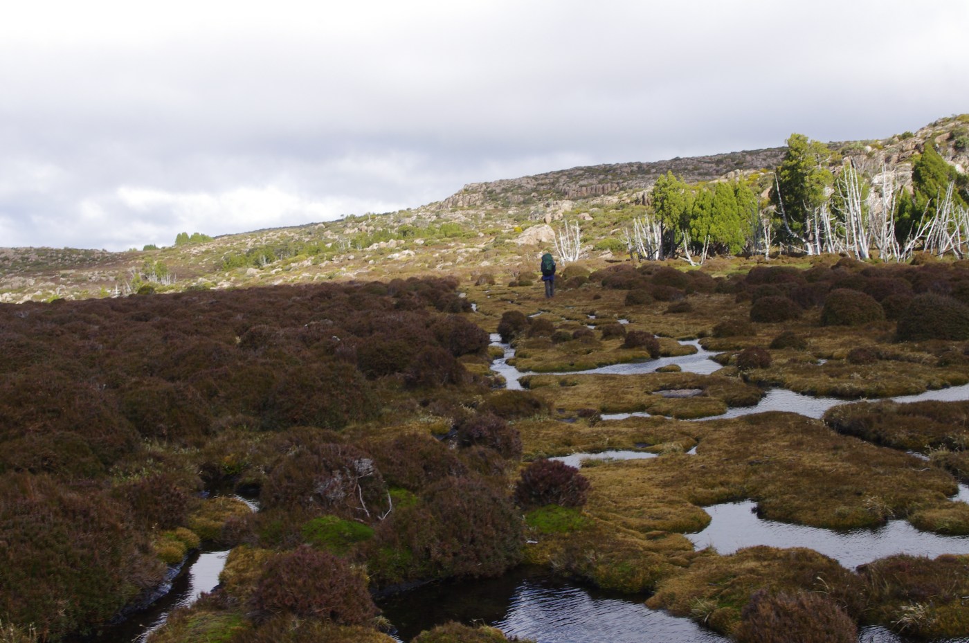
A year on, I managed to get in to have a look at the eastern edge of the fire, along the section that burnt across the Overland Track.
Continue reading “Visiting the Canning Peak fire 13 months on”


Recent Comments