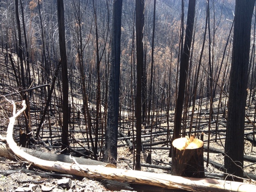
Lightning storms earlier this week started a number of fires in the high country, including one in the Buckland valley, Tawonga South, and on the Old Coach road between Mt Hotham and Harrietville. Parts of this area has been burnt three times in a little more than 10 years, with huge impacts on the alpine ash forests of the upper Ovens Valley and surrounding watersheds.
Lake Mountain Alpine Resort has produced a great new A2 sized map which details the walking, mountain biking and ‘shared trails’ on the mountain.
 The map covers the area from Keppel’s Hut up to the plateau and all its ski trails, and then all the way down to the entry station at the turn off on the Woods Point Road. There is now an increased range of tracks then were previously available as a result of work by Lake Mountain staff in connecting existing separate tracks, and this has opened up some really great extended day walks.
The map contains details of a number of suggested walks, as well as photos of some common flora which visitors may encounter at Lake Mountain.
The map will be available at the Lake Mountain resort and a number of tourist, bushwalking and cycling outlets. Anyone having trouble finding a copy is welcome to contact Sue Parry, the Lake Mountain Environmental Officer via sue@lakemountainresort.com.au


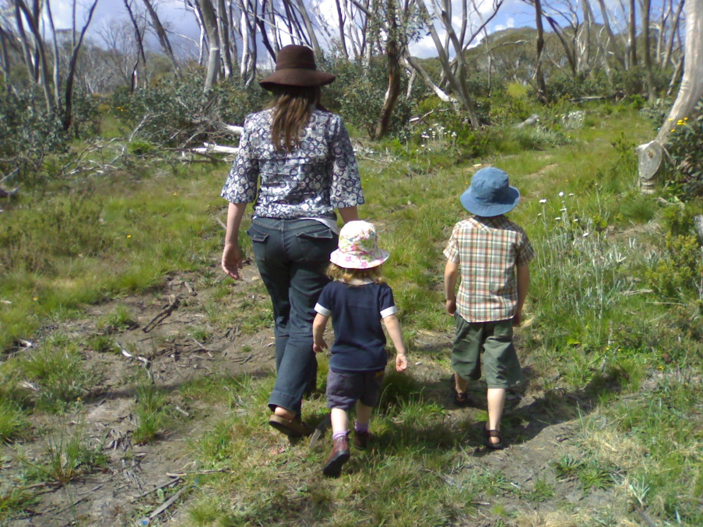
The Australian bush is fragile. Bushwalking Victoria has produced a brochure called Tread Softly that explains how to walk in the bush in the way that conserves Victoria’s natural environment.
Tread Softy lists 10 recommended practices that will help protect the natural environment, without detracting from enjoyment. Each practice takes the form of a commonsense and easy-to-do action.
Tourism North East has called for feedback on the master plan for the Falls to Hotham Alpine Crossing walk. This has been billed as an ‘iconic’ walk which links the two resorts via the Bogong High Plains and Cobungra Gap, and is generally done over three days. A permit is required to camp at the Falls to Hotham Alpine Crossing campsites.
There is a proposal for a major re-alignment of the walk, which instead of skirting the High Plains, cuts out to Tawonga Huts then down into the Kiewa Valley and up Mt Feathertop. This new proposal would require substantial new track building up the Diamantina Spur. The initial public consultation period for the Plan is over.
Continue reading “Major re-route of Falls to Hotham alpine crossing proposed”
The Victorian government has announced changes to how fuel reduction burns (‘controlled burning’) will be carried out in the state.
Since the Black Saturday fires of 2009, public land managers have been seeking to burn 5% of public land each year. This has been criticised for being a very blunt management instrument for a complex problem. There are concerns that burning regimes have been inappropriate for some types of vegetation, causing ecological damage, and have not been able to reduce overall fire risk in the state.
Continue reading “New system for fuel reduction burns in Victoria”

The Jumbo Valley, located deep in the wilds of British Columbia’s Purcell Mountains, has long been revered for its spiritual significance and beauty. To the Ktunaxa Nation, it is known as Qat’muk, home of the grizzly bear spirit.
For decades, First Nations, conservationists, backcountry skiers and snowboarders have fought a proposed large-scale ski resort deep in the Jumbo valley. After 24 years of opposition, what more will it take to keep Jumbo wild for good?
Jumbo Wild is a beautiful film about the plan for – and the campaign against – this major development.

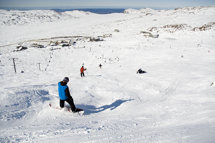
This news is from the end of winter, but still worth noting. Mt Hotham has announced it is investing $4.4m in snow making for winter 2016. The investment includes 18 Techno-Alpin fan guns. These guns are often said to be amongst the most efficient that are available. The company claims that in the last “ten years we have been able to decrease energy consumption by 30%, or, leaving energy consumption static, increase snow production by 30%”.
General Manager Belinda Trembath says “This is the single biggest investment in snowmaking at Hotham since we partnered with government in 2008 to install the Loch snowmaking dam.”
The expanded snowmaking will cover more trails on Heavenly Valley, the intermediate terrain serviced by the Roadrunner lift, and the Beginner terrain in the Summit area. Installation will happen through summer and autumn, with a substantial new network of pipelines being put in.
Last year Parks Victoria (PV) ran a Volunteer Track Ranger Program in north east Victoria. They received a very positive response from both the people who volunteered and those who were out hiking in the areas where volunteer rangers were present. PV has decided to run the program again this year and is seeking expressions of interest from suitably qualified people.
Being involved in the program will enable participants to expand their volunteer experience while exploring some of the remote terrains and campsites in the Alpine National Park. This helps Parks Victoria during peak times of visitation.
Continue reading “Parks Victoria Volunteer Track Ranger Program”

Mountain Journal has previously reported on the plans to build a “Buller Stirling Link Rd” between the two mountains. It has been argued by the proponent (Mt Buller Resort Management) that the road will provide a second escape route off the mountain should a bushfire or land slide close the main road from Mirimbah to Mt Buller. There has been the argument that a link road will encourage more tourists in the ‘green season’ as it is sometimes argued that tourists don’t like going up a dead end road (this argument was used in the unsuccessful campaign to put a road in from the Baw Baw village and across the Baw Baw plateau).
A feasibility study has released which looks at the potential for further development at the Ben Lomond ski field in north eastern Tasmania. It is called Investment in Ben Lomond Skifield Northern Tasmania. It was produced for a range of clients including local government councils, Tourism Northern Tasmania, the Tasmanian Parks and Wildlife Service and the Ben Lomond Committee. The committee is composed of the club / lodge and business operators at Ben Lomond and acts as a lobby group for the Ben Lomond skifield.
It proposes some significant developments be undertaken on the plateau in order to make the ski fields viable and extend the ‘green season’ attraction of the mountain. It identifies the likely financial costs of these developments without suggesting a source of finance. It points out that the development will lead to economic benefits across north western Tasmania rather than just the skifield itself. However, while noting the environmental impacts which could come with these developments, it makes no attempt to quantify these.
David Lindenmayer is the renowned specialist on the critically endangered Leadbeater’s Possum and the Mountain Ash forests that are their home. He has collaborated with other researchers to produce a book which looks at the possums future in light of fires and logging.
While it is expensive (almost $60) it is an incredibly important contribution to our knowledge about these forests. It is available from the CSIRO.
The following review was written by Alex Mullarky, and originally published on the Wild Melbourne website.
Continue reading “Review: Mountain Ash: Fire, Logging and the Future of Victoria’s Giant Forests”
There has been a long planning process around how the alpine village of Dinner Plain should be developed. Most businesses struggle with the extremely seasonal nature of the tourist trade, and residents can struggle because the small number of permanents makes it difficult to sustain basic services like the supermarket through out the year.


Recent Comments