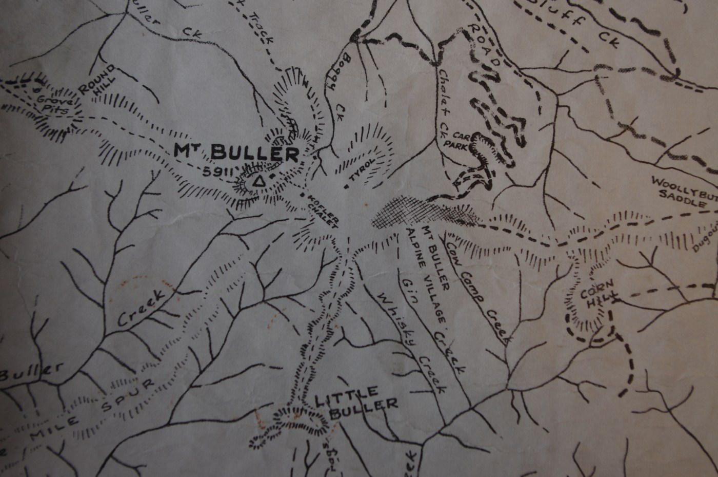
Anyone who has hiked and skied the mountains between Buller and Stirling, and from The Bluff to Howitt and Cobbler and is over 30 probably knows the wonderful maps of Stuart Brookes.
Stuart has produced maps of the Alps and other popular walking areas since the late 1940s. As a teenager on my first walking, snow shoeing and skiing adventures in the area around the Howqua River, I fell in love with Stuart’s black and white map ‘Watersheds of the King, Howqua & Jamieson Rivers’. It had basic landform details shown through shading and all the features that a walker needed: good campsites, places where you could get water on the high ridges, routes and cairned trails rather than just the marked roads. I would get a new version every couple of years, and later versions were in multi colour and had contours. But they still had a sense of richness that are rare in modern maps. This was country that Stuart knew intimately and the maps evoked a rich sense of place.
Continue reading “A half century of change in the Central Alps”



Recent Comments