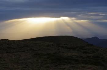
The much anticipated front that’s expected to bring decent snow falls is finally on it’s way. After the last system was ‘shunted off’ to the south by blocking High Systems (something that is expected to happen with increasing frequency as a result of climate change) we appear to have a system that’s strong enough to push through and hit the mainland.
It’s not expected to lead to deep falls, but at this point I reckon we will happily take whatever nature can provide. It is expected to cross the VIC Alps on friday night and saturday morning and snow showers could continue until next monday.
The image at the top comes from MountainWatch.


Leave a comment