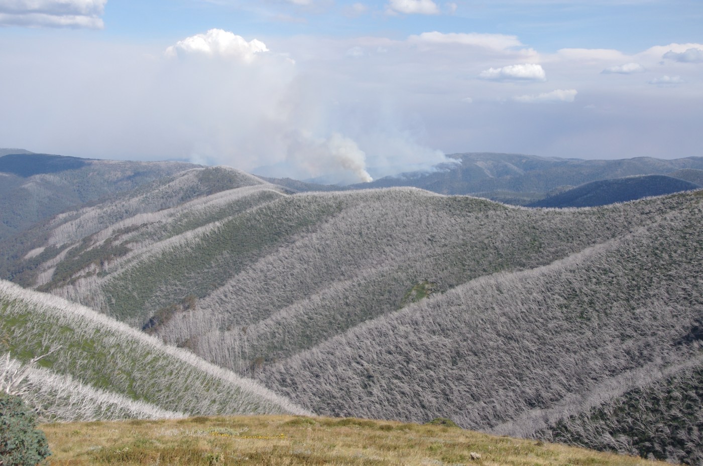
It’s been a hard summer for fires, both in Tasmania and the mainland mountains. In Victoria, more than 100,000 hectares were burnt in the high country, making it another season of ‘mega fire’ (these large fires are growing in frequency under the influence of climate change).
Here’s a quick look at the major areas that were burnt:
Check the Emergency Vic website for extra details on these fires and maps showing their location. Apart from the mountain fires there was the enormous Bunyip fire on the eastern fringes of Melbourne.
The Licola-Mt Margaret Track fire, located east of Licola and west of Valencia Creek, is now contained. The fire burnt around 80,500 hectares. Areas affected include the high plains country around Mt Wellington, the Avon Wilderness to the south, including the Mt Hump area, and up almost to Mt Tamboritha. It has burnt both national park and forests set aside for timber production. There are still a number of road and track closures within the Alpine national park in this area.
The Thomson fire burnt significant sections of Melbourne’s water catchment to the east of the Baw Baw Plateau and is roughly 6,000 ha in size. There was also another fire of 2629 ha in size in the Armstrong catchment, another part of the domestic water supply network, and containing precious old growth forests.
The Macalister – Mt Darling – Cynthia Range Tk burnt large sections of the Mt Darling/ Snowy Bluff wilderness area and north to the Tea Tree Range. It is roughly 28,000 ha in size. A lot of this country is very rugged and remote.
The Hibernia-Black Snake Creek Track fire, burnt foothill country North West of Dargo towards Crooked River (it is 4,489 hectares in size).
The Dargo High Plains fire burnt 14,000 hectares and is now contained. It impacted some areas that have previously been burnt twice in a short period of time. The ecological impacts of multiple fires are very worrying. It burnt considerable sections of the upper Dargo River catchment.


Leave a comment