A new report based on analysis of maps and data from the 2019/20 Black Summer bushfires has revealed that significant areas of unburnt forests critical for bushfire affected wildlife are set to be logged by the Victorian Government. This includes areas in the Victorian high country.
The report was produced by a range of groups, including Goongerah Environment Centre (GECO) and the Victorian National Parks Association.
GECO says ‘These and other important areas are still scheduled for logging, when they need to be protected. Take action and email decision makers to drop logging plans and protect forests and wildlife’.
The report titled After the Fires: protecting our forest refuges reveals damaging plans by state-owned logging company VicForests to continue to log over 20,000ha of forest across ten key refuge areas identified in the report. These areas, and others not focussed on in the report are critical for wildlife to recover and repopulate the vast areas where millions of animals were killed by the fires. The report also finds that out of the 112,000 ha of state forest in East Gippsland outside the fire extent, 90,000 ha remains unprotected. You can take action by emailing decision makers to protect these and other critical refuges for wildlife after the fires.
The following is an excerpt of the section of the report on the Alpine region.
Alpine Region
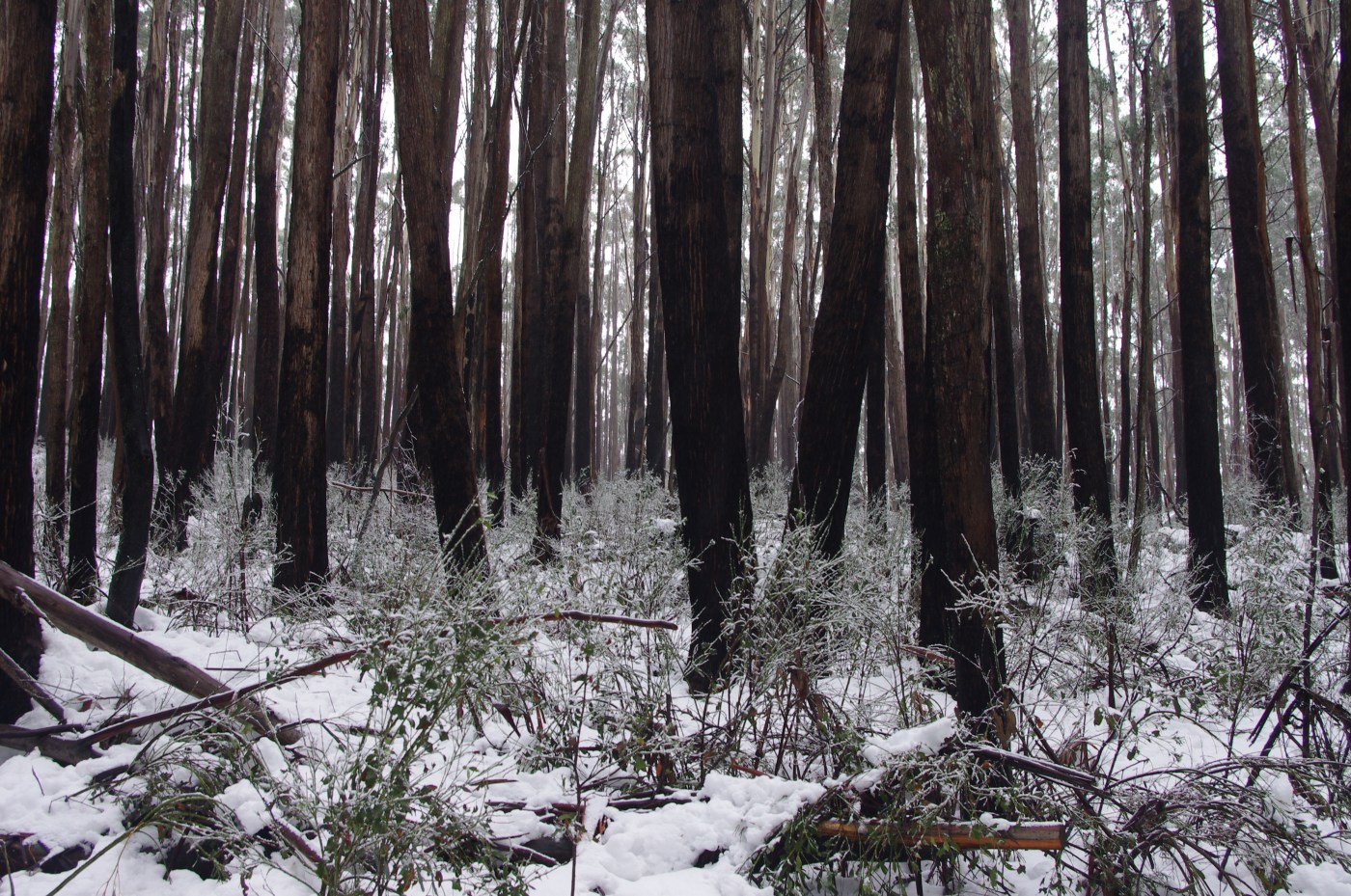
The alpine forest region north of Omeo and east of Falls Creek includes the Alpine National Park and the Mt Wills Historic Area as well as surrounding state forests. The region is an iconic and popular tourist destination, close to alpine resorts and host to large parts of the Australian Alps Walking Track. The walk spans over 650km starting at Walhalla near Mt Baw Baw, weaving through the Alpine National Park and Mt Wills Historic Area to Mount Kosciuszko in NSW and on to Canberra.
Despite being a reserve, multiple logging coupes are scheduled in the Mt Wills Historic Area, threatening the integrity of the reserve system. Some of the coupes are directly adjacent to the walking track.
Alpine Ash forests in the area support a number of hollow-dependent species like large forest owls and gliders, as well as surrounding forest vegetation types within the Alpine National park, Mt Wills Historic Area, and surrounding state forest.
While the area largely escaped the 2019–20 bushfires, the region has been affected by past bushfires, and in some places has burnt multiple times. Repeated fires from 2003–2014 have led to large-scale conversion of alpine forest to shrubland’46.
Over 97% of Alpine Ash distribution burnt in wildfires in 2003, 2006, 2009, 2013,
and 2014. In some cases, areas burnt two to three times. While some areas have been aerially reseeded, that is not a long-term sustainable option due to future unavailability of seed. Large stands of Alpine Ash are now at an immature growth stage, incapable of seed production and more vulnerable to being wiped out by future bushfires. They are now highly susceptible to decline due to increasingly hotter and drier conditions.
The Department’s bushfire emergency report states that ‘[b]ecause of vulnerability of this species to multiple burns, areas where this is the dominant tree species are of concern.’
Given the increased risk and severity of bushfires in areas where Alpine Ash occurs, and that these forests are particularly sensitive to a more frequent fire regime, it is critical that immediate action is taken to protect Alpine Ash.

Further information
For background information on the threats to Alpine Ash forests, please check here.
For background information on the Ash reseeding program, please check here.


Leave a comment