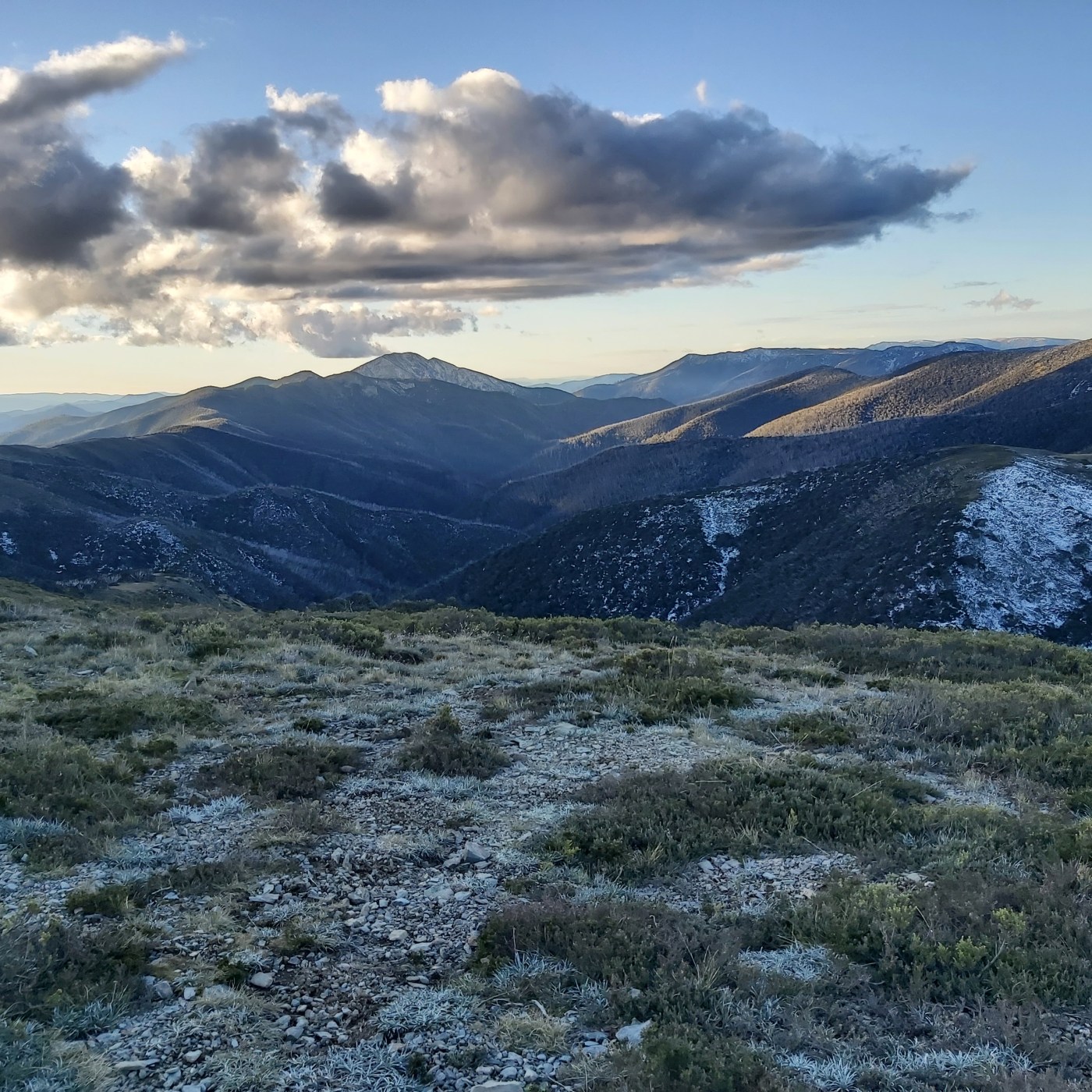
There were some snowfalls across the Alps last week, and now snow lovers are getting excited about an incoming air mass that could start to deliver significant snowfalls over the weekend or in to next week. As always, the hype probably outweighs the reality. But to be a skier or rider in Australia is to be an eternal optimist.
MountainWatch is suggesting between 32 and 80 cm (depending on where you are in the Alps) over the next 7 days. (here).
Weatherzone (here) says ‘Snow-lovers could be in for a real treat next week, with the potential for a storm that could deliver a major snowfall to the Australian Alps and Tasmanian Highlands’. An Antarctic airmass will slide up towards south eastern Australia and mix with moist air, which will deliver precipitation.
They are a little more cautious about suggesting how much snow might arrive, saying ‘For now, the best we can say is that there’s a high chance that at least some snow will be recorded over the NSW/VIC Alps and the TAS highlands next week, perhaps starting as early as Sunday’.
The Bureau of Meteorology (here) mentions snow showers, possibly starting from Saturday, extending into mid next week. At this point the forecast says the day with heaviest snowfalls is probably next Monday.
Obviously we will just have to wait and see. Fingers crossed this is the start of the winter snowpack.
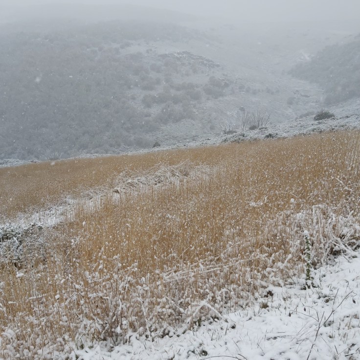
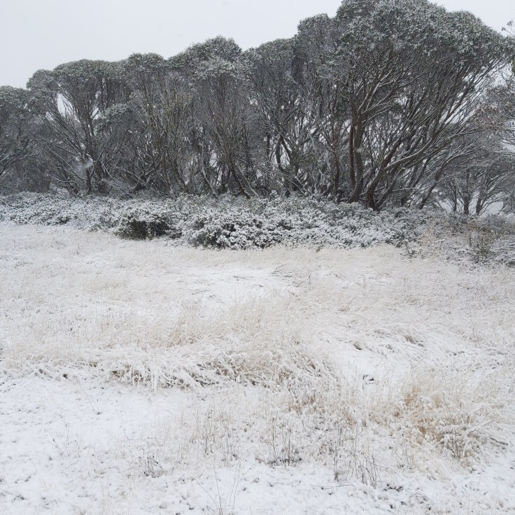
UPDATE: May 30. Finally, it’s here!
Some pics from Falls Creek today.


May 25, 2022 at 10:22 pm
Fingers Crossed Cam looking forward to the back country being avilable