Search

Mountain Journal

Environment, news, culture from the Australian Alps

Wildlife survey uncovers alpine creatures in Victoria

The following excerts come from an article on the ABC website by Greg Muller about a recent survey in north eastern Victoria. The survey was a collaboration between Parks Victoria, Museum Victoria, community members and 4WD clubs. Check here for an earlier post about this survey.

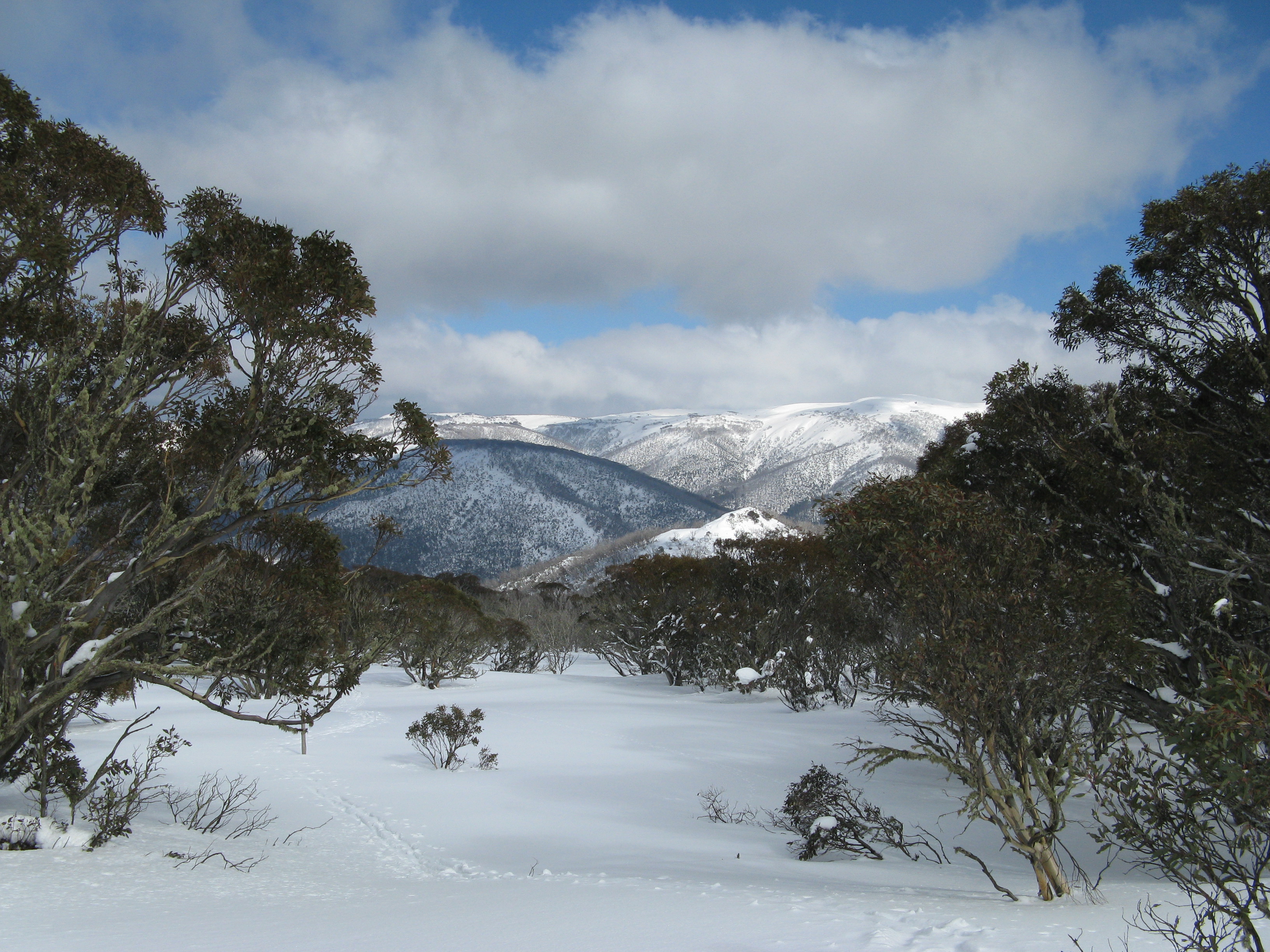
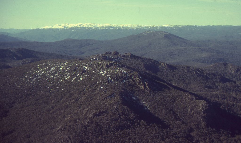
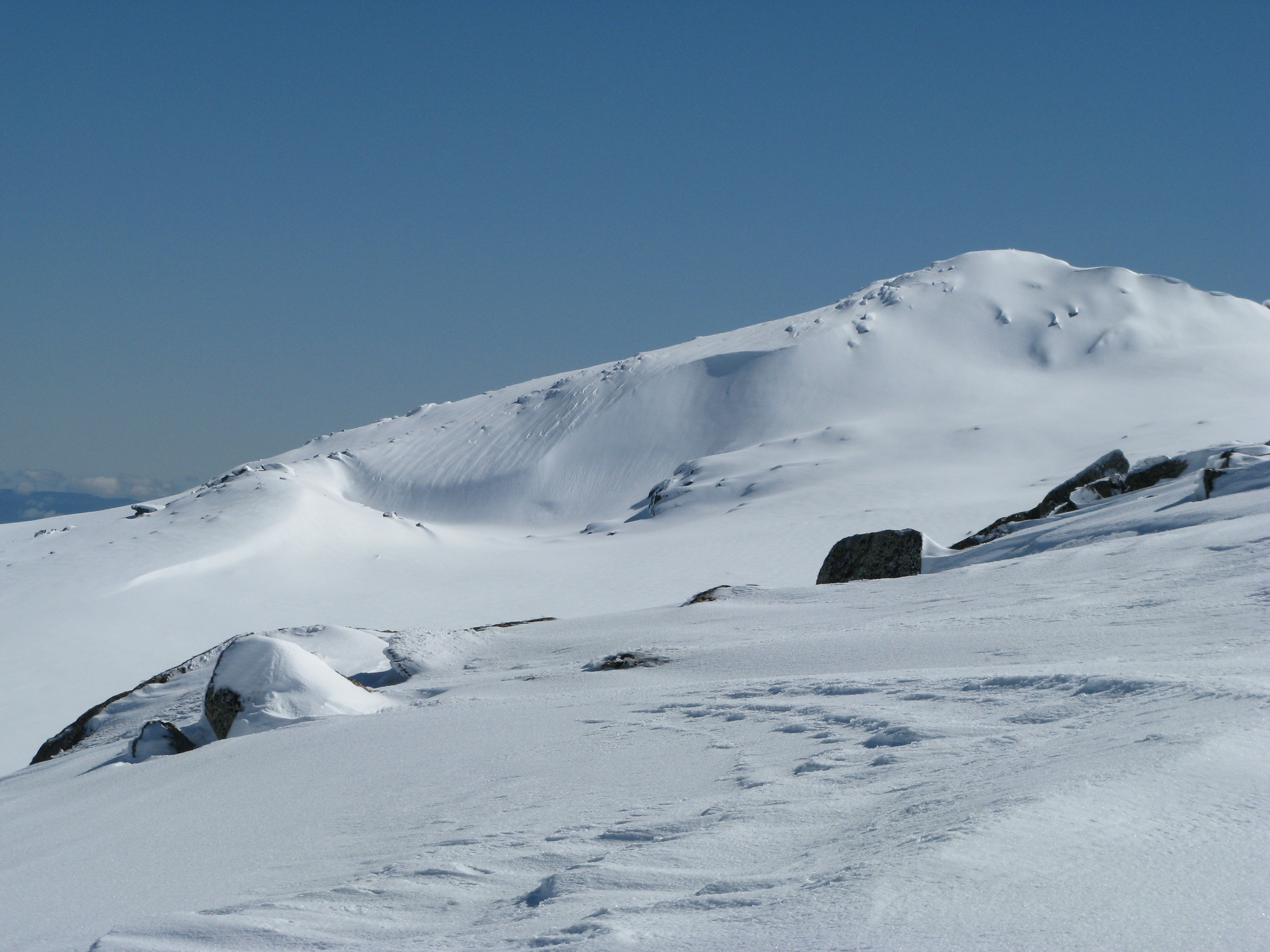
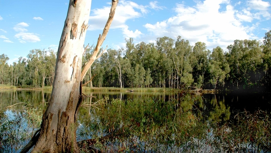
Areas explored included the Upper Buchan River and Davies Plain.

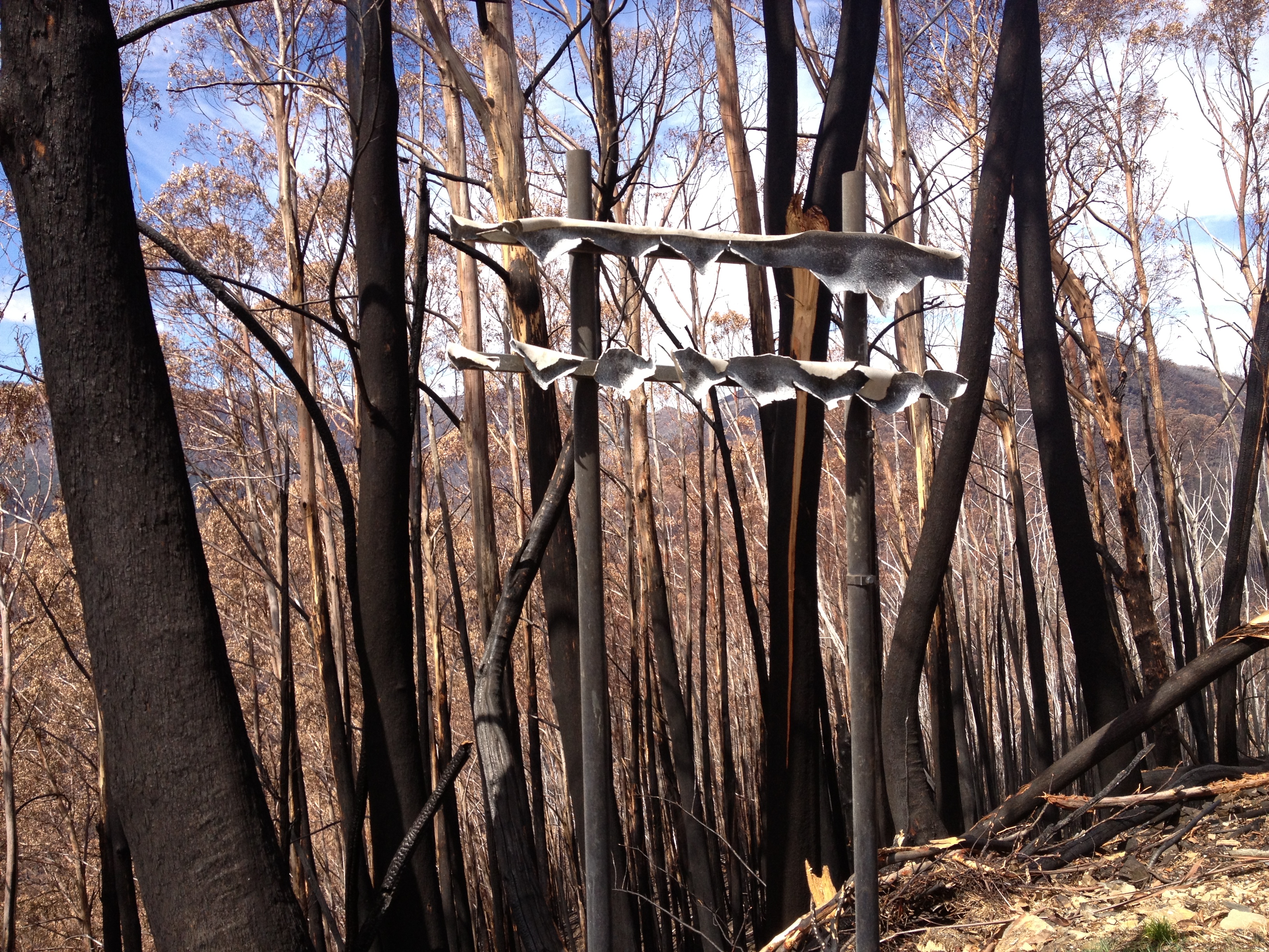
A key message is at the end of the story: climate change poses a grave threat to many alpine and sub-alpine species.

Smoky Mouse
Smoky Mouse

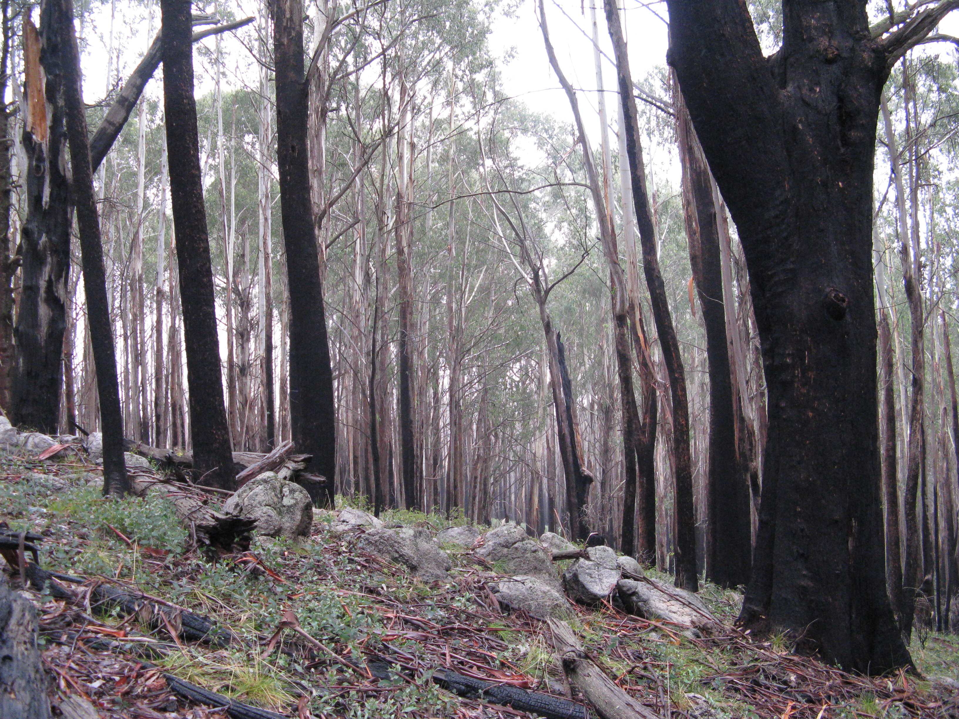
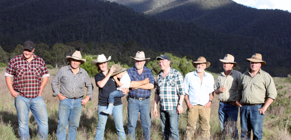
In a wild corner of north-east Victoria, more than 80 researchers have just spent two weeks counting and documenting rarely seen alpine wildlife.

The remoteness of the region means there is limited knowledge of the area—an issue Museum Victoria and Parks Victoria are now attempting to rectify.

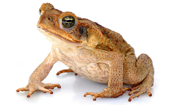
‘There’s good news. We’re delighted we found alpine tree frogs because that’s one species vulnerable to a deadly fungus which has been attacking the frogs,

During the two-week bioscan, 21 species of reptiles were found, including the endangered Kosciusko Water Skink, Glossy Skink and the Mountain Skink.

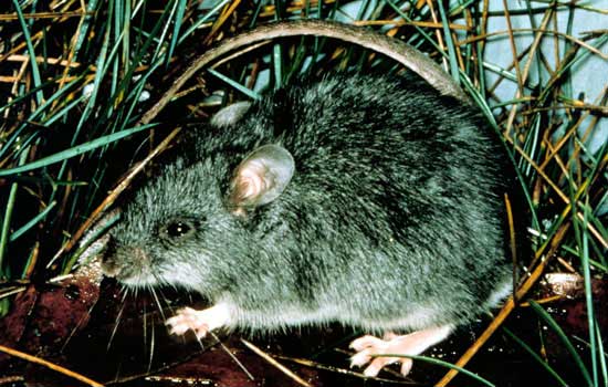
Two listed species were found, the Broad Tooth Rat and the Smokey Mouse.

There were also two species of Antechinus (a small marsupial mouse indigenous to Australia) found, but at this time of year the population consisted only of females.

Roger Fenwick, the regional manager for Parks Victoria, was instrumental in organising the bioscan and worked to bring researchers, park rangers and locals together for the project.

‘No one group knows everything and it’s great to share the knowledge and get better results as land managers,’ said Mr Fenwick.

‘We invited four wheel drivers to be involved and this means the scientists can get on with doing their work, the Parks staff can concentrate on managing the program, and the four wheel drivers can get everyone around nice and safe.’

Museum Victoria’s senior curator of entomology, Dr Ken Walker documented 400 nests of native bees during the study.

‘What you find is a pile of dirt which looks like a chimney which goes down about 30 centimetres underground,’ he said.

Also at the bioscan was a member of the local indigenous community, Katherine Mullet, who was representing the Gunnai/Kurnai and Monero communities who used to occupy this area.

Ms Mullet was looking for cultural sites, including traditional walking routes, many of which are now 4WD and bushwalking tracks.

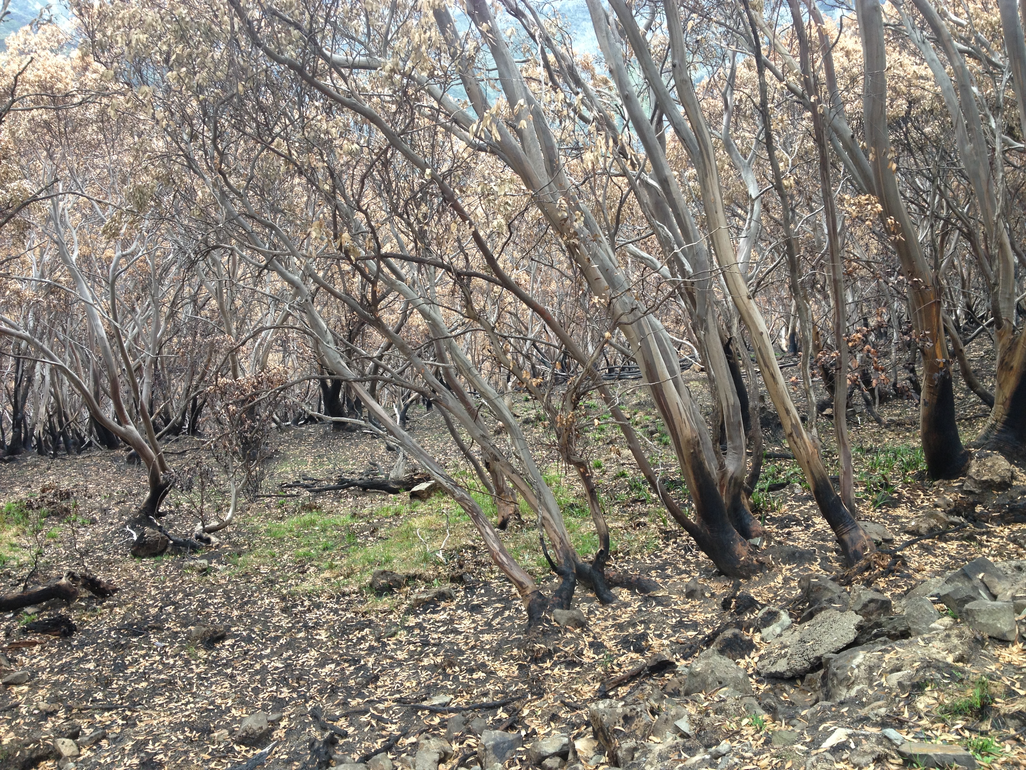
Dr Norman explained that climate change is a major threat to alpine wildlife species, which are already living at the edge of their environment.

‘The challenge worldwide with changing climate is if you are at the top of your limit or as far south as you can go, there’s nowhere else to go.’

Hotham to Falls walk upgraded, more developments to come?

The much touted ‘Falls to Hotham Alpine Crossing’ has received a substantial injection of funds in order to increase visitation.

The Border Mail reports that

on the Falls to Hotham track, starting the descent to Cobungra Gap

An $800,000 upgrade to the 37-kilometre trek has been completed and Benalla MP Bill Sykes launched it as one of Victoria’s iconic walks at the weekend.

The upgrade includes camping platforms at Cope and Dibbins Hut, signage and track development.

“The camping platforms maintain the vegetation in the area because they are elevated so people can pitch their tents without degradation,” he said.

“It’s also more comfortable for campers because there will be a breeze from below in the summer time and in the event it rains they are not going to get a wet backside.”

Dr Sykes also announced $50,000 of funding from the Victorian Regional Growth Fund to create a master plan for the next stage of the upgrade.

He said it could include looking at accommodation options along the track.

“There are people like me who are very happy to put in the kilometres during the day but would like a comfy bed at night,” he said.

“Some are happy to rough it with a stretcher and a sleeping bag but then there are others who are happy to be out in the elements but have the comforts of home.

“It widens the appeal if you have that option available.”

The master plan will also include route extensions and Dr Sykes said he wanted to encourage people with beginner and advanced routes.

He said the track upgrades were a priority because there was a growing band of people who enjoyed walking and the companionship gained from doing it in groups.

“We’ve got a magnificent scenery and we will be recognised for the beautiful high country and river valleys.”

Dr Sykes said the upgrade and master plan will lead to economic benefits.

“It will be measured in millions and millions of dollars no question about that,” he said.

Guided walking tours is another initiative Dr Sykes believes will boost tourism.

It’s great to encourage people to get out and walking in national parks. But with the pro-development in parks agenda of the current government, we should always be a bit cautious about their motivations.

For instance, what does ‘accommodation options along the track’ mean? Private huts along the route, as is the case in Tasmania?

In March 2013, the Minister for Environment and Climate Change released the Tourism Investment Opportunities of Significance in National Parks Guidelines, an information pack to guide potential investors through the process of gaining approvals and ‘taking their plans to fruition’.

The government has said it will support “sensible and sensitive developments in national parks provided they complement environmental, heritage and other values and generate a net public benefit.”

The government has also announced that it intends to introduce fees for overnight hiking in national parks.

It would appear that doing the ‘Falls to Hotham Alpine Crossing’ will attract a fee of $30, plus a $10 admin fee for the booking.

Elevation Gravity bike ride at Mt Buller

The following information comes from the organisers (Alpine Gravity):

Image: Alpine Gravity

This series is the fastest growing series in Australia and one of the most popular formats of racing due to its fun nature and accessability to all types of riders and bikes. It isn’t hard core downhill, and not hard core uphill either, its a great mix of 70% FLOWING DESCENDING TRAILS, and 30% UNDULATING. Without the technical downhill sections, and no massive long climbs like a cross country race, its the prefect event for all riders. The perfect bike would be a 4-6 inch travel bike, but all courses are ride-able on a basic mountain bike.

The Elevation Gravity Enduro series is a two day event, with practice all day Saturday, then short practice session Sunday morning, then racing all day Sunday. When you arrive at the event, you make your way to the registration tent, grab your number plate from your pre online entry and then make your way to the transport pick up. We put your bike on a special bike carrying trailer and you then jump in a vehicle and we take you and your bike to the top of the mountain, and then you ride down….EASY!!!

Registration is open at every event from 8am Saturday, and transport to the top is 9am-4pm. Rego is then open from 8am Sunday, with transport ALSO starting at 8am until 11.30am when official practice ends. All individual rider and class start times are posted up at registration and is also announced over the P.A. system so you know when and where to be.

You then catch transport up the hill for TWO timed runs, and your FASTEST run counts as your result. If you are happy with your first run, your second run is optional and not mandatory.

Event location: Mt Buller, one hour from Mansfield, three hours north east from Melbourne

course description: town center to gang gangs to delatite trail

trail length: approx 13 kms long

course elevation drop: 1000 vertical meters/3000 vertical feet

rough course time: 25 minutes

descending: 800 metres

climbing: 200 metres

Friends of the Cobberas

The Cobberas (in foreground), The Pilot, and the Main Range of the Snowy Mountains in background. http://www.panoramio.com/photo/29813127

The Cobberas Range is a remote area in the Victoria Alpine national park, close to the NSW border.

Friends of the Cobberas is a volunteer group who are interested in the conservation of the Cobberas and adjacent areas of the Alpine National Park. The group is under the umbrella of the Victorian National Parks Association and is supported by Parks Victoria.

Members are all volunteers, working together and learning together as we tackle various projects to assist with conservation and Park management. Activities include group camp outs and walks, walking track marking and maintenance, environmental and pest animal monitoring, weed control and more.

But we need more help!! This is a remote part of Victoria and there is plenty of projects the group could get involved with if we had more members. Joining the Friends of the Cobberas has many benefits, spending time in a great part of the High Country for starters! You will meet new friends, enjoy the benefits of shared knowledge amongst members and have the satisfaction of assisting with the management and conservation of some really special places.

Visit our website today www.friendscobberas.com.au or to receive more information on membership

Email: info@friendscobberas.com.au or Phone Parks Victoria Omeo on (03) 5159 0600

December 14-15 Track marking weekend

Mt Cobberas No 1 from The Playgrounds

Escape to the mountains for a dose of sub-alpine walking before Christmas!! Help out with some track marking and once you reach the summit, relax and soak up wonderful wilderness views. For those who are happy to camp there will be a base-camp at Native Dog Flat for at least one night. Accommodation options available a bit over 1 hour from site for non-campers.

Visitors or new members most welcome.

Email: info@friendscobberas.com.au for more details.

Facebook page here.

is there merit in the Alpine park grazing proposal?

Grazing advocates argue that cattle will reduce the impacts of bushfires when they do occur

Since at least 2006, a number of people have called for fuel reduction burns and a re-introduction of grazing to the river flats around Wonnangatta station. This has variously been claimed as being important for protection of visitors should a wild fire break out, for weed control, and ecological recovery.

The state government has now moved to gain approval from the federal government for a grazing trial.

Weeds are an acknowledged problem in the valley, with St Johns Wort, blackberry, Cape Broom, sweet briar and Hawthorn all being significant. In many places, the remnant Themeda (Kangaroo grass) flats are being encroached on by weeds.

It has been reported several times that ‘the poor state of the park is strong evidence of State Government underfunding of Parks Victoria’. So, one option to tackle weeds would be to increase PV’s budget. The current state government is cutting staff at present.

The call for a re-introduction of grazing has been promoted largely by people with connections to grazing.

It is interesting to learn that the current attempt to get cattle back into the Alpine national park by the mountain cattlemen is for a relatively low lying area, the flats around the Wonnangatta station. Previous attempts have been for high country grazing. In contrast, the Wonnangatta station sits at about 500 metres above sea level, in very different vegetation to the high country.

So. Could a grazing operation at this elevation be good for weed management and to reduce fuel loads?

cane toad. Would grazing bring more problems then it solves?

Lets leave aside the fact that many of the problematic weeds in the alpine area were introduced by cattle (hopefully any re-introduction of cattle does not become a solution like the ‘cane toad’ syndrome – where unintended new problems are created in trying to resolve an existing problem).

Lets instead take the cattlemen at face value: that they believe that in this particular location, grazing will reduce fire risk and weed infestation.

Is there a place for grazing by hard hooved and heavy non-indigenous animals in our national parks? And would the proposed grazing trial actually prove if this is the case?

The problem is, we just don’t know. This is because – for whatever reason – the state government has not released any meaningful information about how the grazing trial would work. Given the high level of politics involved in previous attempts to get cattle back into the park, it is hard to trust their motivations unless we have this information.

Media reports say that the trial will be ‘part of a scientific investigation of bushfire prevention options across 2,200 hectares.’ Lets recall that this idea has been discussed with the Environment Minister for at least 10 months before his recent announcement, so its not unreasonable to assume the methodology for the trial is well advanced.

The government could start to resolve the mistrust about their intentions by releasing the outline of their grazing plan. To make an informed decision about whether this is a ‘fair dinkum’ trial, the community needs to know:

  • Who has created the methodology?
  • Who will be responsible for managing it?
  • What scientific evidence is there that grazing will control weeds and fire risk in the way it is claimed?
  • What is the budget for the program, and where does it come from. Does it just draw from existing Parks Vic budget?
  • What assessment will be done of current weed infestation and fuel loads prior to the introduction of cattle?
  • What targets will be set to reduce weed coverage and fuel loads. Different weeds respond in different ways to grazing – what are the strategies for each of the key weeds? And what is the strategy for weeds that are not normally grazed by cattle?
  • Will the 2,200 ha in the project be fenced? Who will pay for it? Would meaningful results be able to be gained from running the trial on a smaller parcel of land?
  • Will the adjacent waterways be fenced to keep cattle out of the river? If not why not. What are the likely public health implications of this? (many thousands of people visit and camp in the Wonnangatta each year).
  • What strategy will be developed to ensure the cattle do not re introduce weeds?
  • Have the relevant traditional owner groups been consulted and involved in the project?
  • What will the cattlemen by paying in agistment fees?

Once this information is in the public domain we can start to have an informed discussion about the merits of such a trial. Until then, we have to assume this is just another attempt to get some benefits for political mates. Hardly the basis for forming good policy over how we manage public lands.

protection for endangered Mountain Burr Daisy?

Image: http://bie.ala.org.au/species/urn:lsid:biodiversity.org.au:apni.taxon:276201

The Mountain Burr Daisy (Calotis pubescens) was thought to be extinct until 2009, and is only found at one known location in Victoria, at Sugarmatt Plain, south of Cobungra. It has been recorded from the Nungar Plain, north of Adaminaby, in Kosciuszko National Park and the Snowy Plain at the headwaters of the Gungarlin River on private land and had long presumed to be extinct in Victoria.

It is a perennial forb (a herb that is not a grass or grasslike )that forms large, dense mats.

The remaining Victorian population at Sugarmatt Plain has an active threat from trampling and grazing by feral horses and cattle.

It has recently been recommended for listing under the Flora and Fauna Guarantee Act 1988 and the paperwork has now been sent to both the Minister for Environment and Climate Change and the Minister for Agriculture and Food Security, who will make a final decision on the matter. The ministers have 30 days to decide whether to list the plant under the Act, meaning there will be a decision by mid to late December 2013.

The Flora and Fauna Guarantee Act 1988 provides for the listing of taxa (genera, species, subspecies, varieties) and communities of flora and fauna which are threatened (the Threatened List), and potentially threatening processes (the Processes List).

Once the listing is approved, an Action Statement will be developed, covering a plan to protect the species in question.

Stay tuned for details.

new approach needed to how Victoria manages fire risk

fire damage on Great Alpine Road

The 2013 state of the environment report, produced by the Commissioner for Environmental Sustainability, has just been released. Apart from providing a fascinating, and worrying, snapshot of the state of the Victorian environment, it offers some significant insights to how we respond to fire risk.

The Age reports that

“Across the 30 indicators the report uses to assess Victoria’s environment – across climate, biodiversity, land, inland waters, coasts and human settlements – 16 were considered in poor health, six fair and just one good.

When it comes to fire and fuel reduction:

“The report … says the state government should withdraw support for a recommendation by the 2009 Bushfire Royal Commission to burn five per cent of public land each year to prevent bushfires. The report says this target could mean some areas will be exposed to fire frequency above its tolerance, impacting biodiversity.

In the section on fire, the report says:

“altered burning regimes,  which we expect to be driven by climate change, have the  potential to severely impact biodiversity and ecosystem function and services”.

(page 10, chapter 3)

The Age report continues:

“Professor Auty recommends instead a new approach be developed focusing on protecting key assets from bushfires for both public and private land, with the results reported to demonstrate the risk reduction achieved. She also notes the government is yet to report on the biodiversity impacts of planned burns, a recommendation of the Royal Commission”.

Many ecologists have criticised the 5% burn target because of the political imperative for land managers to burn to meet their quotas, sometimes resulting in burns in less than optimum conditions (with the risk of fires escaping), burns in remote areas where asset protection is meaningless, and burns in areas regardless of the ecological impacts of the operation.

Let’s hope the report has some influence on how the state government manages fire risk, starting the shift from a simple ‘hectares target’ approach into a more nuanced and ecologically targeted approach which will protect human assets.

The full reports are available here.

Some comments received on this post:

MD:

From my observations in some areas that I am familiar with, and that have been burned for fuel reduction, you can end up with more fuel after the burn. Loads of fine fuels quickly return to pre-burn levels but the fire and heat kills a lot of the understory leaving a lot of coarser ‘ladder’ fuel that previously wasn’t there. The fuel reduction dogma cart is before the horse.

There’s no doubt that fire has been instrumental in shaping the Australian landscape but it’s more nuanced than ‘fire = good’, ‘no fire = bad’. If, for example, industrial logging and fuel reduction regimes remove or disturb forests at higher elevations, wet forests, rainforests and riparian and other communities that by their physical nature act to limit and mitigate fire spread across wide geographic areas, one potential result is fire regimes that burn over larger areas at hotter temperatures. That will create natural selection processes that favor fire respondent species and have a homogenising effect across previously diverse ecosystems. The potential for negative feedback loops is evident. Indiscriminately napalming vast tracts of forest from helicopters with a budget constrained skeleton crew operating on the fringes is possibly not the best approach to implementing a scientifically and ecologically informed fire regime.

 I would also add there’s no point point in burning remote areas to reach arbitrary fuel reduction targets when the real problem is at the urban interface where populations and planning laws keep pushing into forested areas. As city fringes become more urbanised and “safe”, the growing population means there are always people pushing out into high risk areas. In most cases, these sites will never be defendable on extreme days no matter how much you burn or how many dollars they charge for the fire levy.

Hikers asked to help find man missing in Kosciuszko National Park

IMG_2886The following comes from The Canberra Times

New South Wales Police will appeal to hikers in the Kosciuszko National Park to help in the search for missing Canadian Prabhdeep Srawn.

Two days after recommencing a ground search for the 25-year-old who has been missing since May 13, Monaro Local Area Command Superintendent Rod Smith said police and National Parks and Wildlife Officers were contending with some snow in the search area.

“We are recommencing the search in a limited capacity, using some specialist services available to us.

“We’re going to give that a go this week and then will make a weekly assessment as to when the appropriate time to go back into another thorough ground search but obviously that will be when the snow goes.”

He said SES volunteers were on standby for a broader ground search and that visitors to the area were being asked to remain vigilant.

“We believe that he walked along the Main Range Trail from Charlotte Pass, in an anti-clockwise direction towards Mt Townsend and Mt Kosciusko.

“For people who are out there, we are appealing for hikers in that area to keep an eye out.”

Family members are coordinating a group of 18 volunteers who will arrive from Canada next week to assist with the search.

“All of the information that we’ve got, firmly point us in the direction that we have concentrated our search but of course, we are open to the fact that he may not be in that particular area which is problematic because it is such a massive, vast area.”

Mr Srawn was last seen on May 13 when he parked a rental car in the Charlotte Pass Village before setting out in fine conditions to hike near Australia’s two highest peaks, Mt Kosciuszko and Mt Townsend. His disappearance was reported a week later, prompting a large air and land search over two weeks. The 30-person search was abandoned on June 1 ahead of heavy winter snowfall.

New research shows alpine grazing does not reduce blazing

burnt snowgum woodland near Mt Hotham

The following excerts come from a piece by Grant Williamson, Brett Murphy, and David Bowman published in The Conversation. It seems pertinent given the current proposal to re-introduce cattle into a section of the Alpine national park.

Their actual research report can be found here.

This was not an on-ground research project into how grazing might be used as a fuel management tool. Rather, it was based on an assessment of satellite images of the Victorian Alps. They looked at vegetation maps from the past, and compared them with areas after the cessation of grazing, and also the impacts of extensive areas burnt by fires.

“We overlaid maps of crown scorch derived from satellite imagery following large bushfires in 2002/03 and 2006/07 with the location of pastoral leases. Crown scorch is a measure of fire intensity, based on the degree to which flames have reached a height which enables them to burn the forest canopy”.

They summarise their findings in this way:

“Using geospatial statistics we found that cattle grazing had no effect on the likelihood of crown scorch in eucalypt forests and woodlands.

This result is biologically plausible given that cattle are grazing animals, not browsing animals – they do not extensively feed on woody vegetation focusing on grasses instead. Our study is also consistent with previous ground-based studies that have demonstrated the cattle prefer to graze in grassy areas”.

new management at lake Mountain & Baw Baw?

wtg_14The Victorian government recently called for Expressions of interest for long term private managers to take on running the Lake Mountain and Mount Baw Baw Alpine Resorts. Tender applications have now closed.

As noted recently on this site, the Victorian Government has previously decided to open up the state’s national parks to further development and private investment. The depth of this agenda is not yet clear.

The government describes Mt Baw Baw as
“an all-season alpine resort, open year round for summer and winter adventures. It is Victoria’s affordable, family friendly ‘learn to ski’ destination. Activities include downhill skiing, snowboarding, cross country skiing, tobogganing, terrain parks and other event in the white season, plus walking, hiking, cycling, downhill and mountain biking and a number of events in the green season”.

And Lake Mountain as
Lake Mountain is a Crown Land reserve which is open year round for summer and winter experiences. It is Victoria’s affordable family getaway in the great outdoors, and is Australia’s premier cross country skiing and snow play resort. Only a two hour drive from Melbourne, Lake Mountain is Melbourne’s closest alpine resort.

Given the prognosis of expected warmer conditions and less reliable snowfalls as a result of climate change, any private operator considering taking on a new project in these lower elevation resorts will need to be building up the ‘green season’ activity at the resorts.

This begs a fairly obvious question: with the pro development agenda of the current state government and a limited ability to run economically viable resorts based on snow activity at lower elevations, what devil in the detail might emerge once the new operators are announced?

Let’s hope this doesn’t become an opportunity for new operators to radically increase the footprint and impact of activity at these resorts.

Alpine grazing: still no news from government

source: MCAV
source: MCAV

Four days after The Australian newspaper announced that the Victorian government intends to ask the federal government to approve a new grazing trial within the Alpine national park, there is still no statement from the government about its intentions. The environment minister has had the time to issue a media release on the birth of a baby hippo at Werribee zoo, but apparently not to let the Victorian community know what is happening with this controversial proposal.

The grazing announcement has been a long time coming. In January 2013, The Weekly Times reported that the mountain cattlemen had toured Mr Smith to the Wonnangatta Station, specifically to talk about the re introduction of grazing.

Then last week, it was reported that the mountain cattlemen had again toured the Wonnangatta Valley with Mr Smith and also the Upper House MP Philip Davis.

Both the Age and the Australian have run pieces on the visit and subsequent announcement that the Victorian government is moving to gain federal approval to introduce cattle back into the Alpine national park.

The Weekly Times is reporting that a referral for the trial had been sent to the Federal Government on monday November 25.

Any attempt to re-introduce cattle gazing will be highly controversial. It seems strange that the Minister appears to be making announcements via the media, and not communicating directly with the people of Victoria about his intentions by making a detailed statement on the trial.

National Park logging canned – now to stop ‘ecological thinning’

The New South Wales Government has rejected the recommendations of an Upper House enquiry that called for logging in National Parks. However, their response leaves the door open for ‘scientific’ trials that could still see commercial logging crews sent back into sensitive protected areas.

barmah treesFriends of the Earth welcomes the Government’s response to rule out a moratorium on new National Parks and to open Parks for commercial logging. Politicians of all persuasions can’t ignore the fact that Australians don’t want to see our National Parks trashed. If National Parks aren’t safe from logging, where is? This response is a small win for the millions of Australians who care about our unique ecosystems and want to see them properly protected.

However, the response still provides support for a controversial ‘ecological thinning’ trial in the Barmah-Millewa National Park; Australia’s largest Red Gum forest and an internationally significant Ramsar wetland. This trial mimics a commercial forestry operation and will have significant impacts on this environment of national significance. If the O’Farrell Government is serious about protecting our natural heritage, they should rule out all logging in National Parks, whether commercial or ‘scientific.’

Friends of the Earth worked alongside Traditional Owners, scientists and local communities to ensure that precious remaining River Red Gum forests in Victoria and NSW were protected in National Parks.

We now need to mobilise to safeguard this legacy. Please check out and sign our petition to the federal Government calling for them to reject the proposed thinning trial.

Blog at WordPress.com.

Up ↑