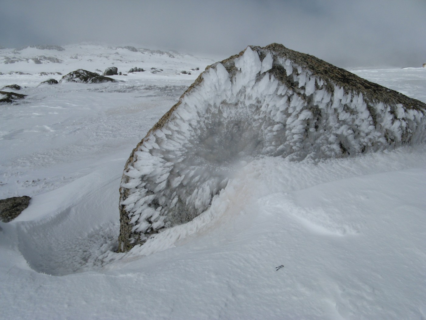
After a disappointing cycle these last few weeks of snow and warmer weather, it seems like there may be some good news on the horizon.
Snow forecaster The Grasshopper reports in MountainWatch that a more “traditional” cold outbreak is currently steaming through the Southern Ocean, ‘ready to drop a healthy dose of snow on the Australian Alps’.
This event will start with plenty of rain, but:
“Strong to gale force north-westerlies on Tuesday herald a change to much colder and snowier weather as a cold front approaches from The Bight,” he continued. “Snow will arrive during the afternoon to leave 10-15 cm down to 1500m by Wednesday morning.”
But that’s only the entree, the best news is still to come: “A weak high will then build in for Wednesday while another low lines up in to the south-west. A blast of strong north-westerly winds on Thursday will cause further problems with wind hold before a heavier fall of snow Thursday night into Friday as a cold front crosses the Aussie Alps. I’ve got my antennae crossed that the models don’t back off this one as it has the potential to slam us with 20-30 cm of snow down to 1000m.”
Here’s hoping!


June 17, 2016 at 12:41 pm
Hi Paul looking very promising and the experts predicting the return of La Nina for the near future
June 17, 2016 at 12:45 pm
typo Cam wrong Name