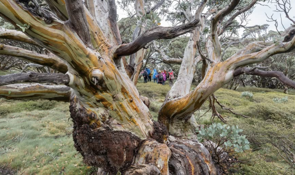
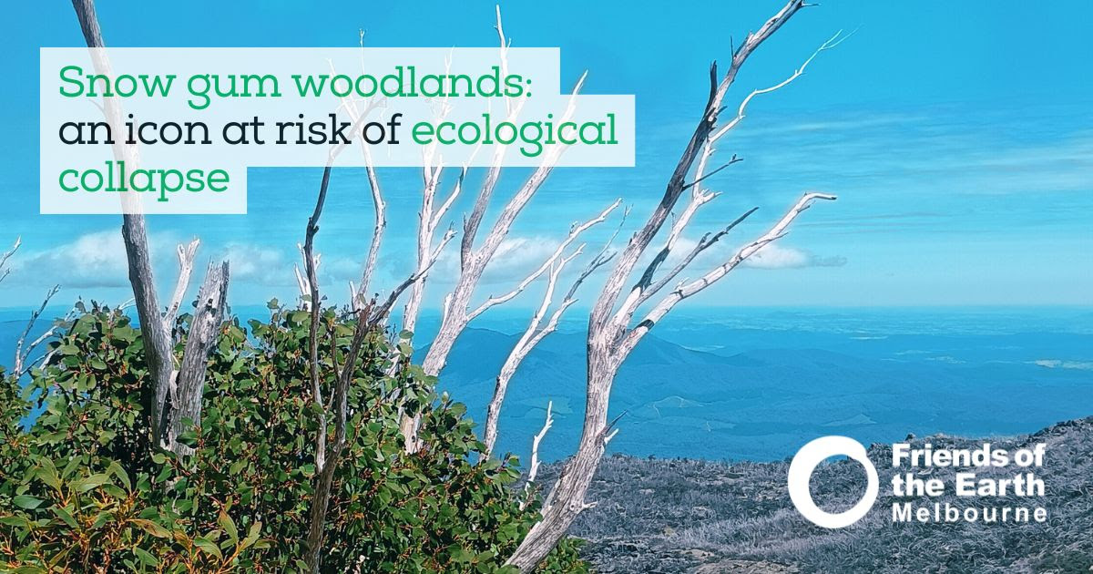
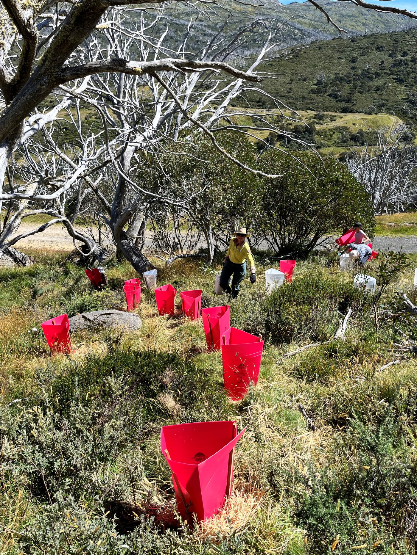
A big chunk of my time is spent campaigning for the protection of snow gum forests from the combined threats of climate change driven fire regimes and the spread o dieback (a natural phenomena which is also being exaberated by the effects of climate change).
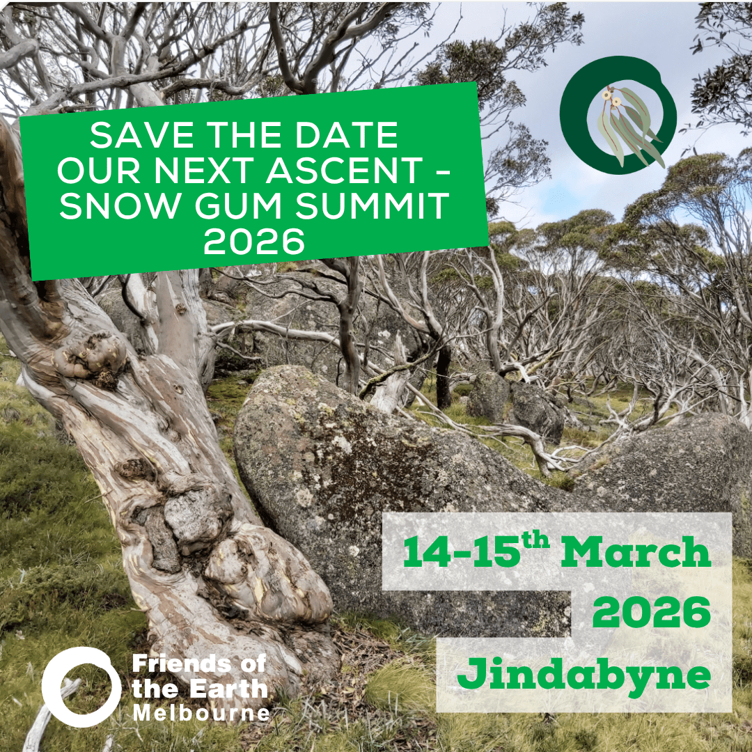
At the recent snow gum summit that we hosted at Jindabyne (report here) the news about the spread of dieback was even grimmer than at the 2025 summit. There are no large scale treatments currently available to slow the spread of dieback. And the death rate from infestation continues to grow.
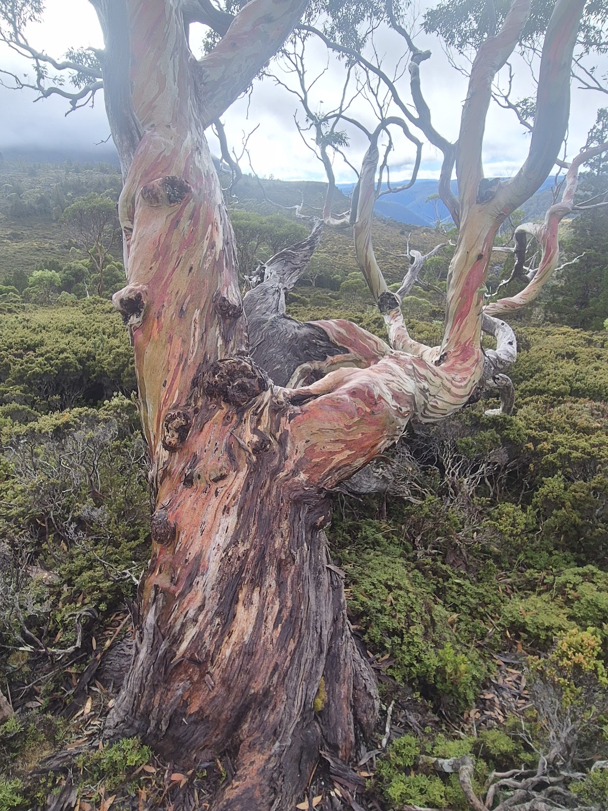
So on a recent walking trip in lutruwita/ Tasmania, it was an absolute delight to be able to wander among old groves of healthy snow gums. Dieback doesn’t impact the TAS snow gums in the same way, and among the fire sensitive mountain trees, snow gum is probably faring better than the old Gondwanic species like the Pencil Pine.


Recent Comments