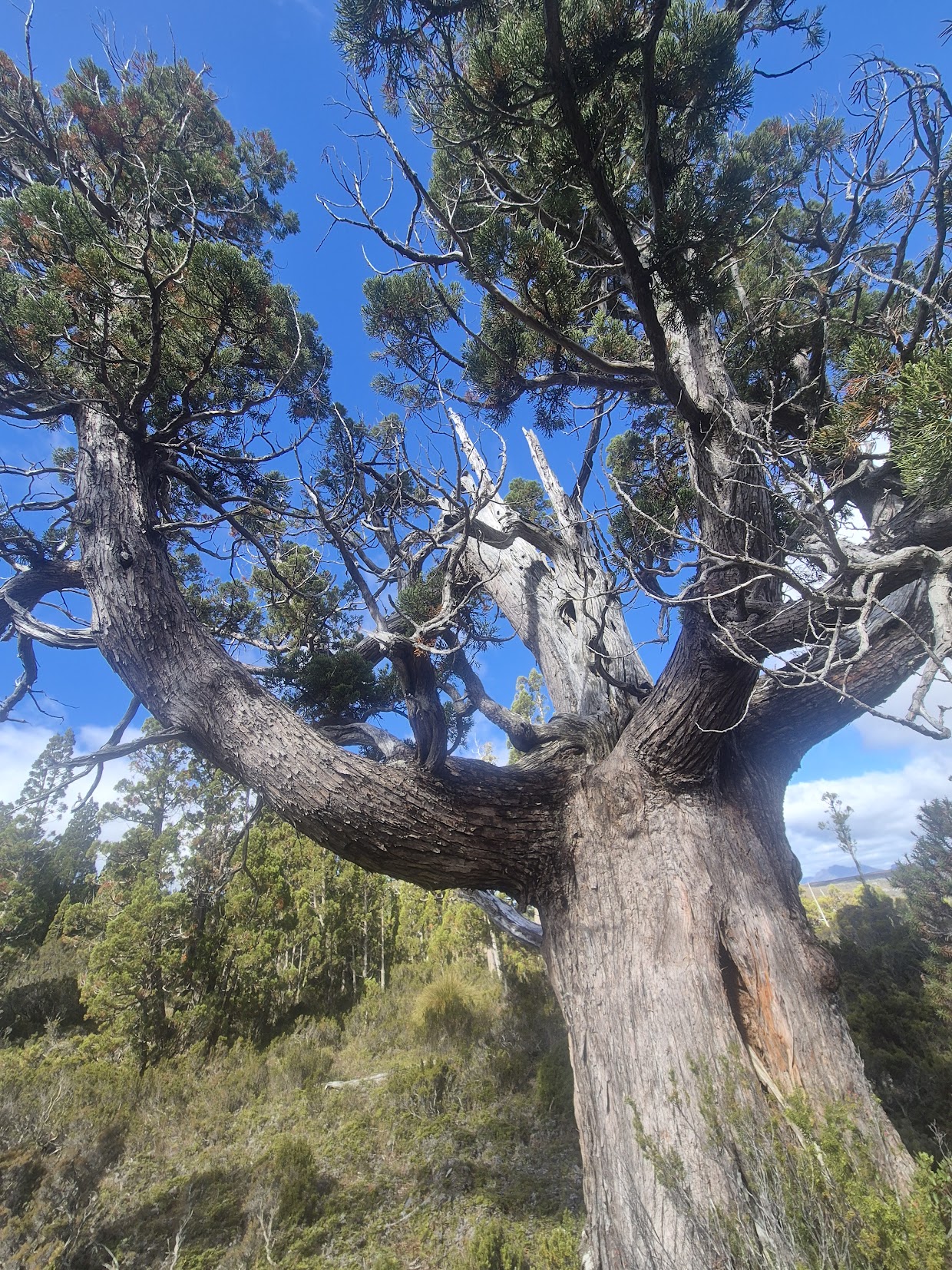
This website (and the magazine) focuses on ‘environment, news and culture’ from the higher mountains of the Great Dividing Range between Melbourne and Canberra and the mountainous island of lutruwita/ Tasmania.
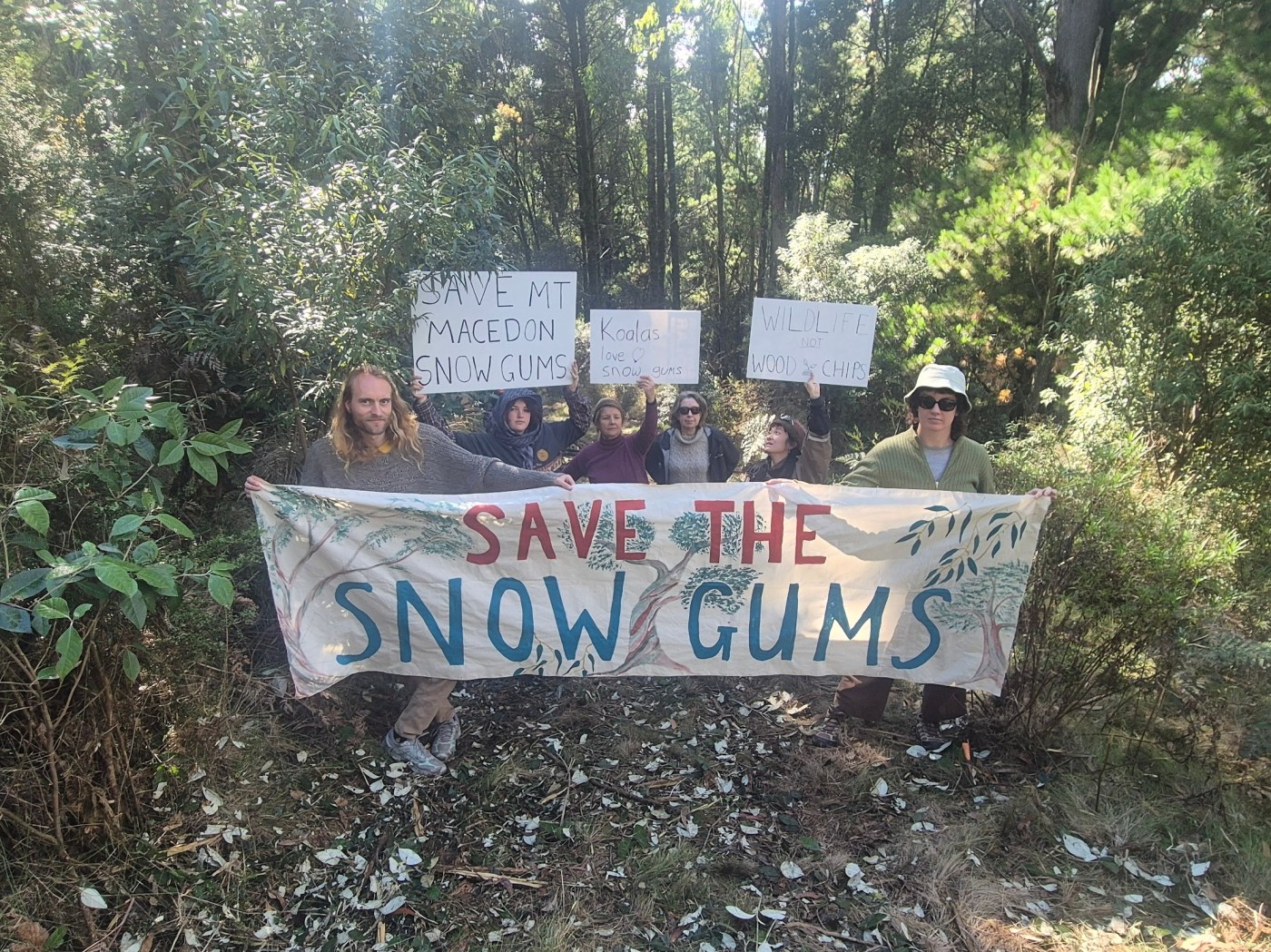
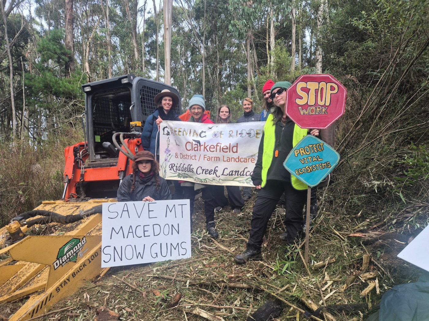
From time to time we get people writing about mountains that have resonance to them which are well away from the core area of focus of MJ. For instance, recent commentary about the destruction of snow gums at Mt Macedon in central Victoria and the mountains on Dja Dja Wurrung country in northern Victoria.
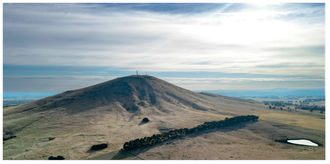
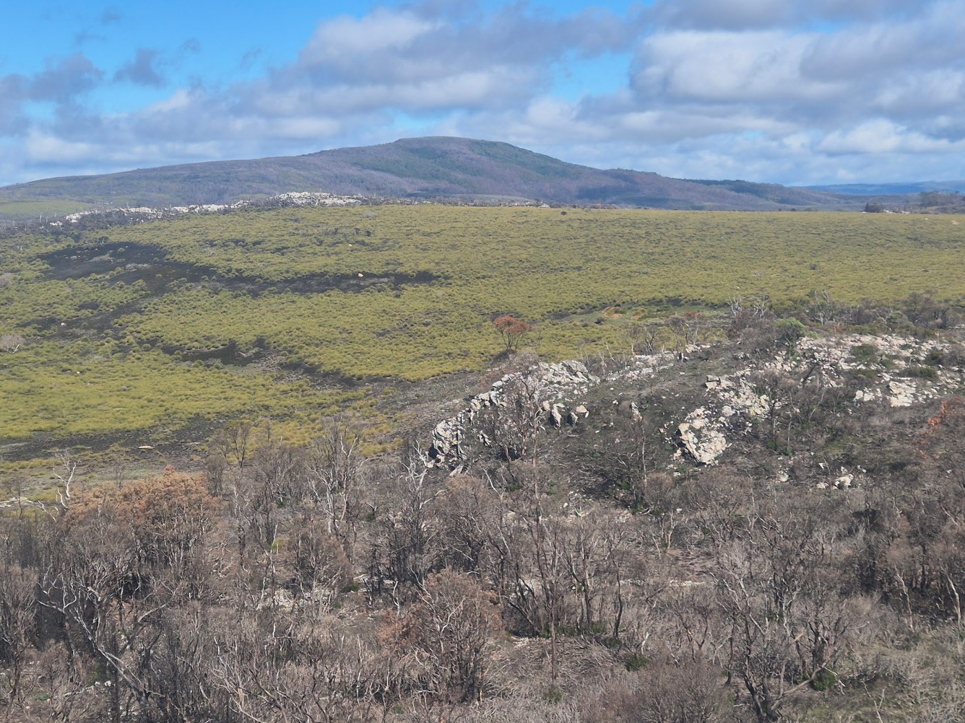
There are many wonderful and significant mountains across the continent well away from the mountain stronghold of TAS and SE Australia. Wollumbin/ Mt Warning in northern NSW, the Glasshouse Mountains in Queensland, Rwetyepme/ Mt Sonder in the NT, or the Stirling Range in south west WA all come to mind.
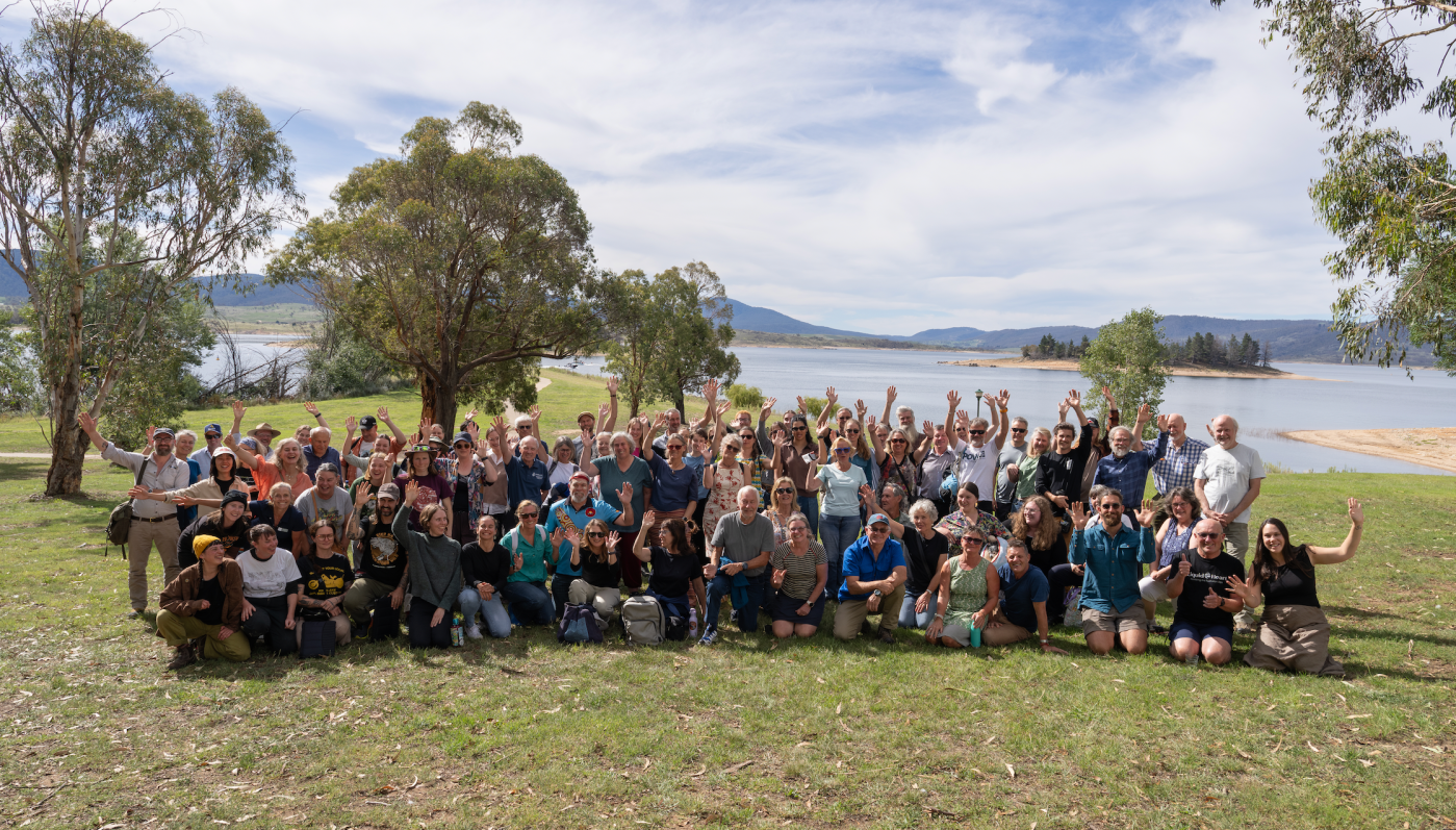
We would welcome your reflections on your local mountain, why they are special, and why they matter to you. Read on for full details.
Continue reading “The outliers – the mountains we love out in the Flat Country”


Recent Comments