It’s being billed as the best single snow event of the winter. Regardless of the title or hype, its certainly a fantastic dump across all the mountains of the mainland and Tasmania.
But it has also led to serious avalanche potential. Here is a summary of the current (AUG 9) Mountain Sports Collective backcountry conditions bulletin.
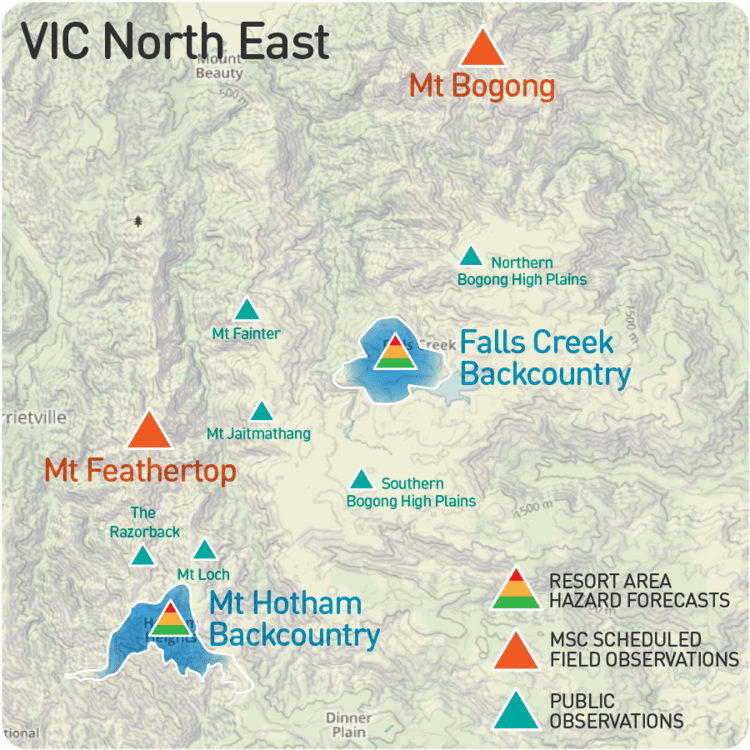
North East VIC report:
We have had significant snowfall starting mid morning yesterday. 30 cm or thereabouts. With the preexisting surface conditions observed as icy and slick in places this coupled with a variable temperature gradient in the new snow has created a considerable avalanche hazard as observed by Falls Creek and Mt Hotham Ski Patrol. With more precipitation on its way today this hazard is continuing to build both as windslab on aspects lee to the north through to west to as low as 1600m, and as storm slab on sheltered terrain features at all elevations. The variable bonding with the bed surface and the cohesion within the new snow are the focus of your self assessment practise in the Alpine National Park. Conservative terrain choices are mandatory for safe travel in the alpine today and ongoing.
NSW Main Range:
With rapid accumulation overnight and significant ongoing transportation a high wind slab avalanche hazard is current, and building. 60cm+ precipitation event currently with gale force West / Nor West winds is ongoing this morning. Aspects lee to the west where this hazard exists may be prone to naturally triggered slides. Travel with extreme caution, stay clear of leeward aspects and potential avalanche runout zones or terrain traps. Remember sympathetic and natural avalanches are likely to occur.


Leave a comment