Search

Mountain Journal

Environment, news, culture from the Australian Alps

Tag

Alpine national park

Logging on the Dargo High Plains part of a much bigger problem

The state government logging agency, VicForests, intends to log a total of 11 “coupes”, or sections, of mature forest, dominated by Alpine Ash, in the headwaters of the Little Dargo River, an area of state forest that lies right next to the Alpine National Park. These coupes are located in a series of clusters, where separate sections of bush will be harvested, creating a large zone of cleared land over time. One coupe has already been logged. The remaining coupes have not yet been scheduled for harvesting, and are yet to be surveyed. There is still time to stop this ecological disaster – if we act now.

The Little Dargo is roughly 15 kilometres south of the Mt Hotham ski resort in the mountains of north eastern Victoria. Background on the logging can be found here.

Continue reading “Logging on the Dargo High Plains part of a much bigger problem”

Parks Victoria releases feral horse action plan for comment

Parks Victoria (PV) have released an updated draft action plan outlining feral horse management intentions over the next ten years.

You have until Friday 23 April to provide comment on the plan.

Continue reading “Parks Victoria releases feral horse action plan for comment”

Tracking Snow Gum decline

Alpine Ash is a quintessential tree of the higher foothill country of the Australian Alps. It is facing an existential threat from fire. It has had 84% of it’s range burnt since 2002. Fires have burnt 84% of the bioregion’s 355,727 hectares of alpine ash forest, with 65% burnt in 2002/03 in the north of the Alps, 30% burnt in 2006/2007 in the south, and a smaller area (2%) burnt in 2009. Four per cent of the forest area was burnt twice within five years. And last summer, additional areas were burnt in the east of the state. This has led to scientists warning that large sections of Alpine Ash forests are on the verge of collapse.

Snow gums are the classic alpine tree of the mainland, generally growing at heights between 1,300 and 1,800 metres asl. But wildfire has also been devastating large swathes of snow gum habitat, with significant fires in the Victorian High Country in 1998, 2002/3, 2006/7 and 2013. Much of Kosciuszko National Park was burnt in 2003. South Eastern Australia suffered from a drought that lasted more than a decade and this greatly increased the severity of the fires that have occurred since the turn of the 21st century. The result of the fires is that often the parent tree has been killed back to ground level, with subsequent re-shooting of leaves from lignotuber buds under the bark. In this way, individual trees can exist through various ‘lives’, often surviving multiple fires.

The Victorian government is now so concerned about the threat of fire on Alpine Ash communities that it has launched a seeding program to help the species survive.

As yet the government does not see the need to intervene in the same way with Snow Gums.

Continue reading “Tracking Snow Gum decline”

Taungurung Indigenous Land Use Agreement in ‘Limbo’

An Indigenous Land Use Agreement (ILUA) between Taungurung Land and Waters Council and the State Government is in ‘legal limbo’ after the Federal Court found it was registered incorrectly.

The land use agreement was finalised in October 2018 as part of a broader settlement agreement largely under the auspices Victoria’s Traditional Owner Settlement Act 2010. The settlement agreement formally recognised the Taungurung people as the traditional owners of more than 20,000 square kilometres of land in north central Victoria from Kyneton in the west to Bright in the east. The agreement includes a number of national parks, including sections of the Alpine National Park and Buffalo National Park.

Federal Court proceedings concluded earlier this month, with Justice Debra Mortimer finding errors in the way the agreement was registered with the National Native Title Tribunal.

It is not yet clear whether this will impact on the agreements regarding the Alpine national parks.

Continue reading “Taungurung Indigenous Land Use Agreement in ‘Limbo’”

Dargo High Plains subjected to intensive logging

The Dargo High Plains are a much loved part of the Victorian high country, with extensive open plains surrounded by eucalypt forests, much of which is dominated by Alpine Ash (Eucalyptus delegatensis). Alpine Ash is one of the iconic trees of the Victorian mountains, where it is widespread and often dominant in grassy or wet subalpine forests, in deep fertile soil, often on slopes, and where it commonly forms pure stands. In Victoria it occurs at altitudes between 900 and 1,500 m (3,000 and 4,900 ft). The high points of the Dargo High Plains sit roughly between 1,300 and 1,500 metres above sea level.

Only 0.47% of old growth Alpine Ash still exists in the forests of the Central Highlands. In the mountain ranges of north eastern Victoria and East Gippsland, old growth Ash is now rare, and ‘tens of thousands’ of hectares of forest are on the verge of ecological collapse.

Sections of the Plains have burnt several times in recent years, including the summer of 2018/19. Considerable sections of the Plains Ash forests have been logged in the past. Now, the state government has scheduled a number of logging coupes of long unburnt forest, which threatens to devastate the fringes of the high plains.

The logging program in the High Plains area appears to include roading through the Alpine National Park to access the coupes on the east side of the plateau.

Please scroll to the end of the story for updates.

Continue reading “Dargo High Plains subjected to intensive logging”

A ‘mountain’ of loss – Snow Gum dieback in Victoria

Snow gums are experiencing dieback in Kosciuszko National Park, largely because of the impacts of the native longicorn (or ‘longhorn’) beetle. These beetles prefer to lay their eggs on moisture-stressed trees and, in warmer weather, the longicorn beetle can hatch and grow up to 75% faster. It is understood that climate change is helping the spread of dieback because of background warming.

Now spread of dieback is being seen more frequently in the mountain forests of Victoria. Gillian Anderson reports back on some recent observations of snow gum dieback on the Bogong High Plains.

Continue reading “A ‘mountain’ of loss – Snow Gum dieback in Victoria”

No commercial development on ‘the People’s mountain’!

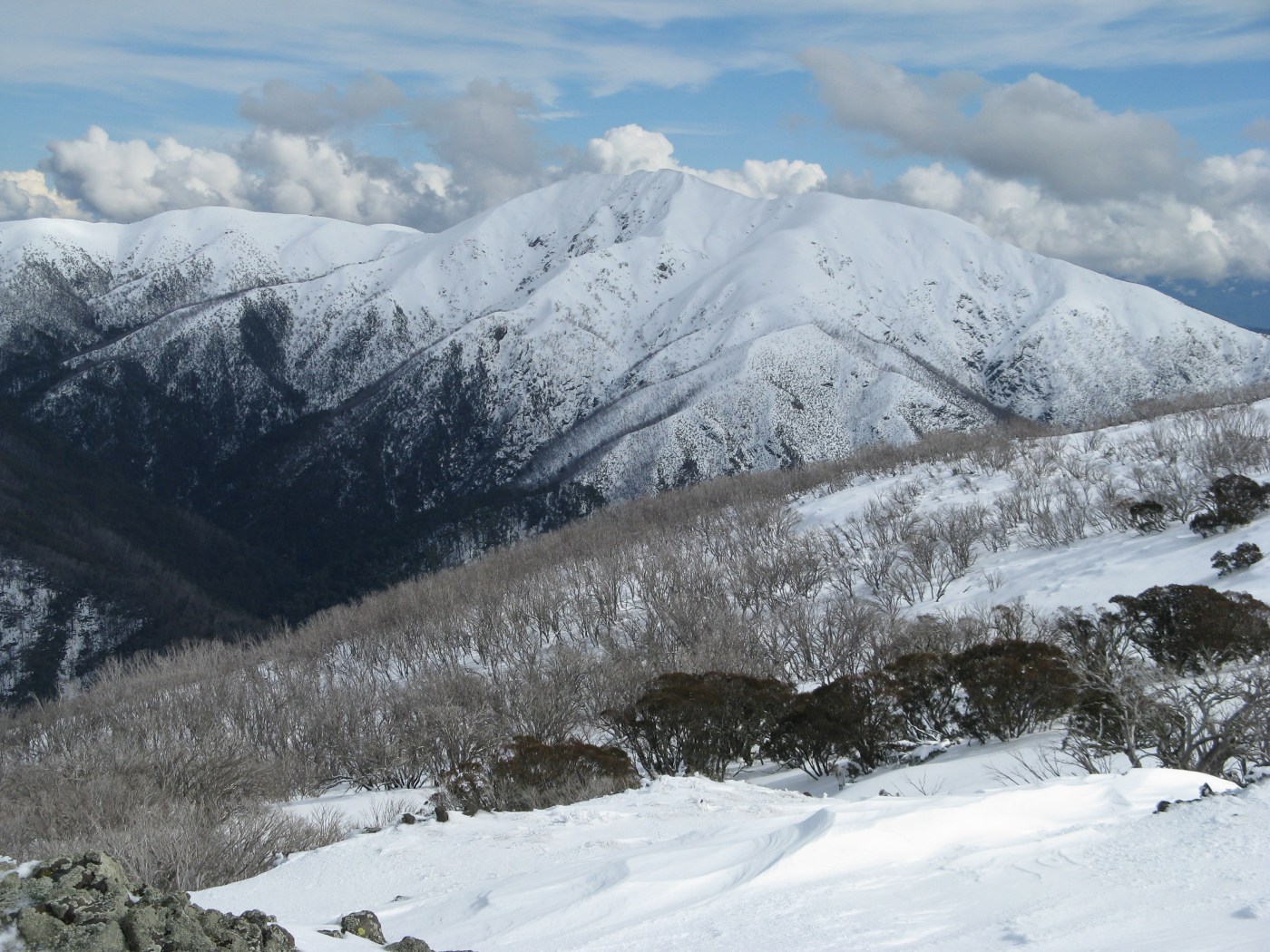
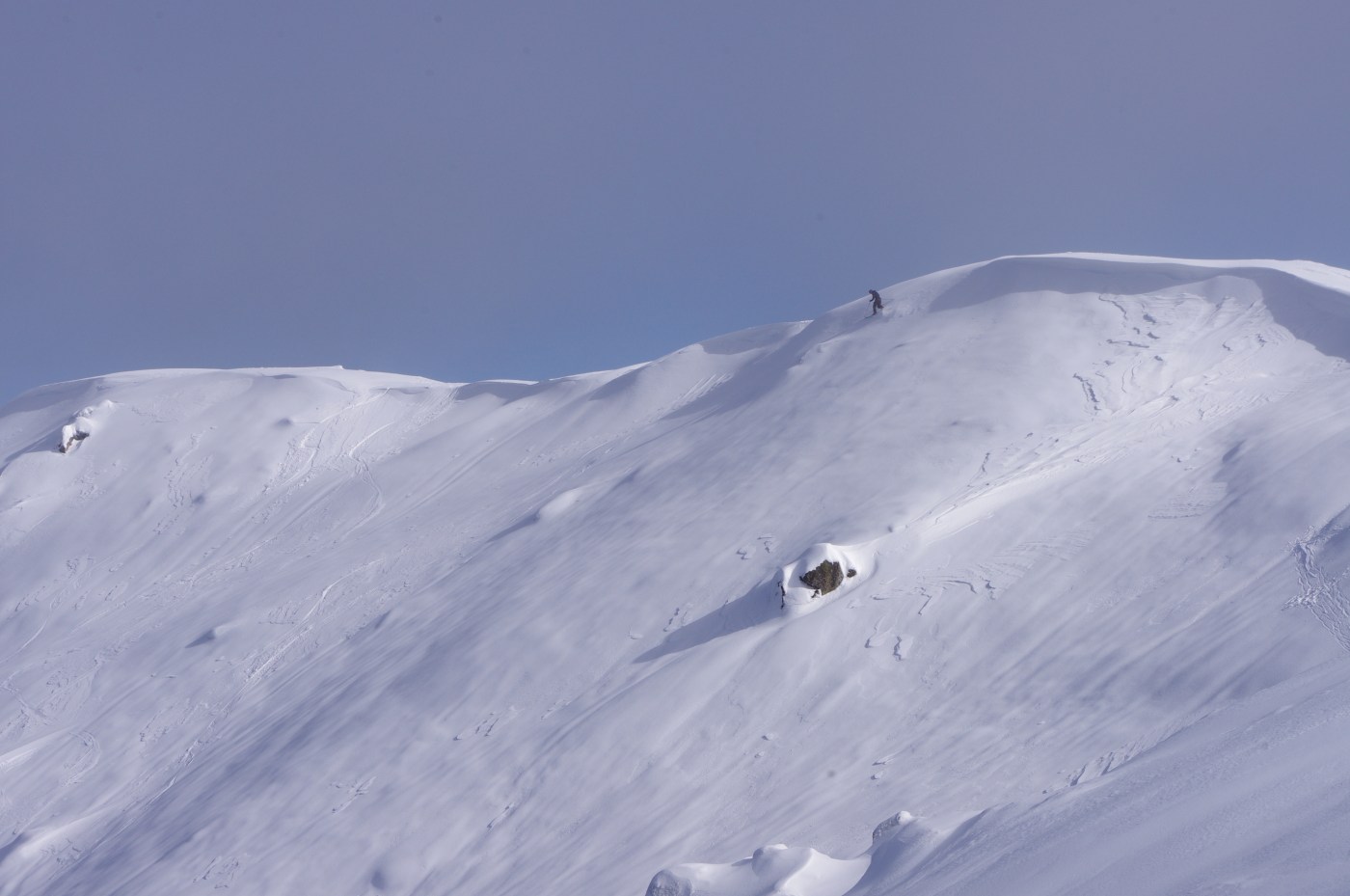
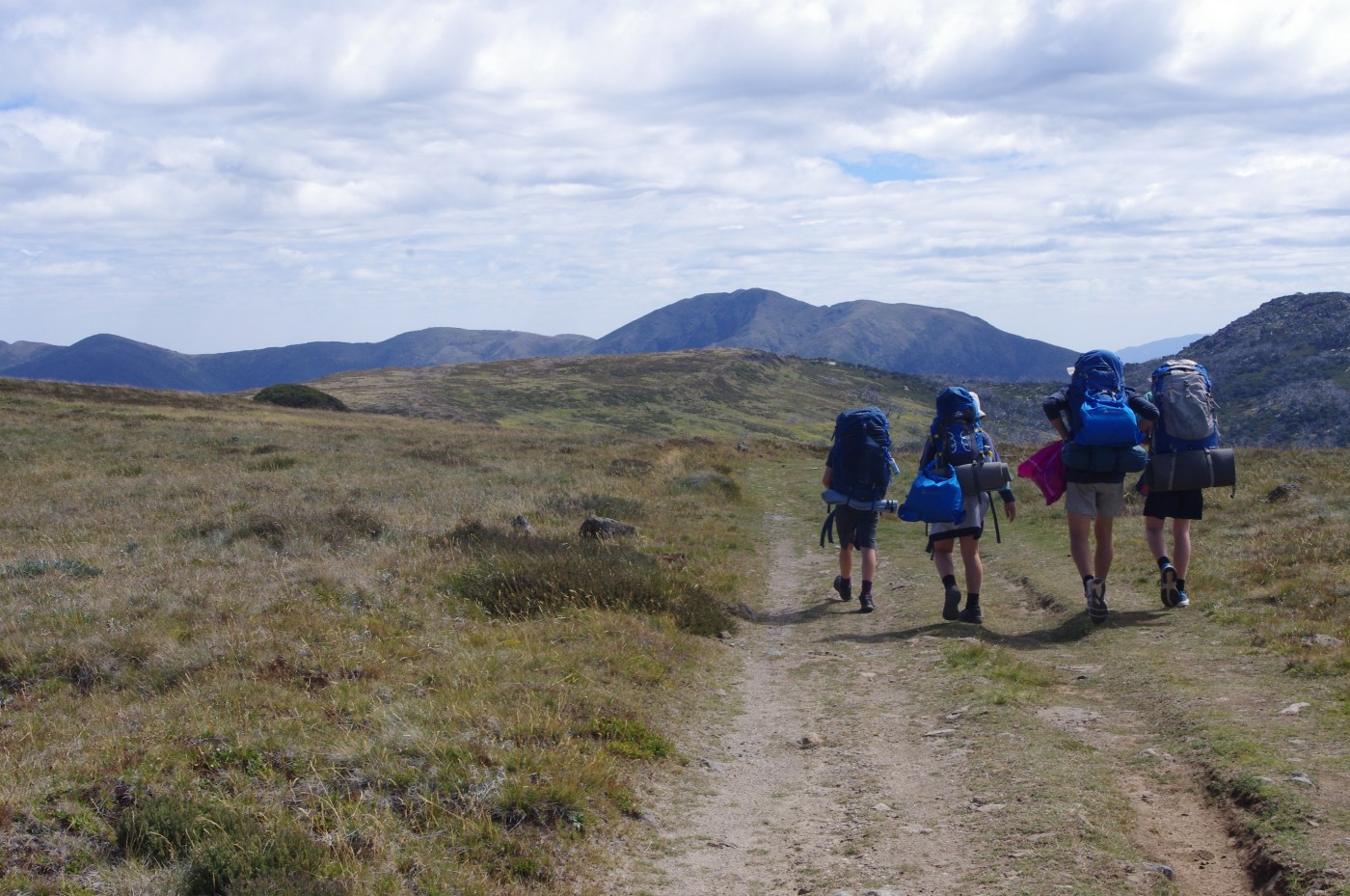
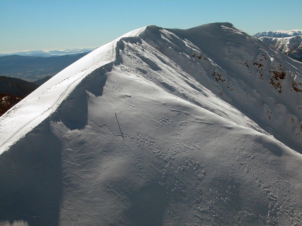
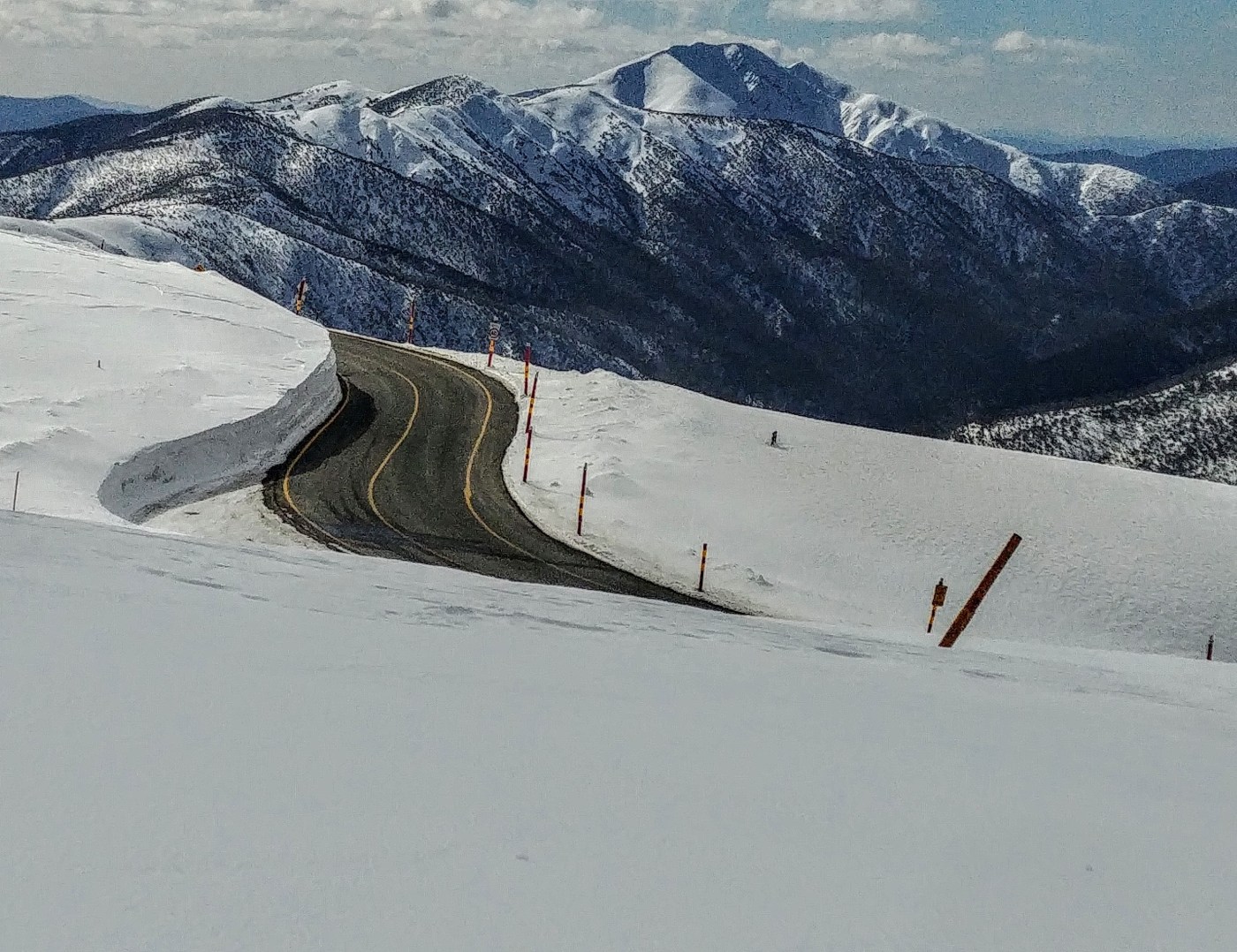
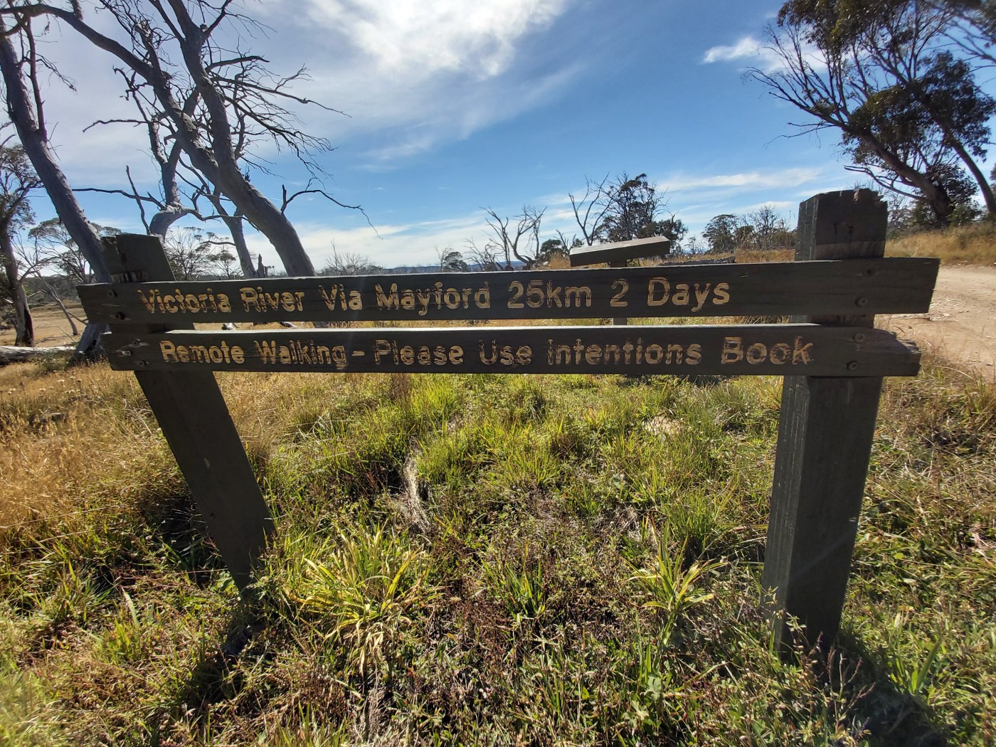
The Falls to Hotham Crossing is a lovely three day walk from the resort town of Falls Creek, across the Bogong High Plains, to Mt Hotham. Managed by Parks Victoria, you need to book to use the designated campsites near Cope Hut and Dibbins hut. It is a hugely popular walk.

There are also plans to extend and reroute the Crossing, turning it a five day ‘serviced hiking opportunity’ in the Alpine National Park. In the state budget for 2018/19, there was an allocation of funds to help make the project a reality. Now additional funds have been allocated to continue the planning for the project, including Stage 1 of the construction.

The proposal has been widely criticised because it will help open up previously undeveloped areas near Mt Feathertop and allow private development within the Alpine National Park. It will see a major upgrade of the route that currently follows Diamantina Spur up to the Razorback from the West Kiewa valley.

The Falls to Hotham Alpine Crossing is part of a ‘branded portfolio’ of four long-distance walks known as ‘Walk Victoria’s Icons’ and is being strongly backed by the Victorian government. Outdoor, nature based tourism is a great thing. It’s good for individual and public health, and great for regional economies. However, private commercial development within a national park is strongly opposed by many people. 

Continue reading “No commercial development on ‘the People’s mountain’!”

The Tabletop fire 10 months on

Mt Tabletop is in the Alpine national park, on Gunaikurnai country, between Mt Hotham and Dinner Plain. Its snow gum country that is already feeling the changes that are coming with climate change. The forests in the area have burnt in 2003, 2013 and 2019/20. Some areas have burnt 3 times. 

The terrain is a mosaic of snow plains, old open forests, crazy regrowth in burnt areas, and multi aged woodlands. It was burnt badly last summer.

Continue reading “The Tabletop fire 10 months on”

Taungurung people to jointly manage Buffalo and part of Alpine National Park

On 26 October 2018 the Victorian Government, the Taungurung Land and Waters Council Aboriginal Corporation (TLaWCAC), and the Taungurung Traditional Owner group signed a suite of agreements under the Traditional Owner Settlement Act 2010 (Vic), and related legislation. The agreement was signed after a 15-year campaign by traditional owners and three years of settlement negotiations.

The Recognition and Settlement Agreement has now come into effect. This means that ownership of nine Victorian parks and reserves, include Mt Buffalo National Park and a section of the Alpine National Park, and up to five surplus public land parcels have been transferred to the Taungurung Traditional Owner Group.

Continue reading “Taungurung people to jointly manage Buffalo and part of Alpine National Park”

Parliamentary Inquiry into tackling the extinction crisis in Victoria

We rely on healthy ecosystems for our survival. Victoria is the most cleared state in the country and natural ecosystems have faced centuries of land clearing, logging, invasion of invasive species and other threatening processes. The mountains that we love are already under threat from climate change: as fire seasons become longer and more intense, and as winter snowpack declines.

Now the Victorian parliament has announced an Inquiry into Ecosystem Decline. This is an important opportunity to show that the community wants to see ecosystems restored and species protected from extinction.

Please read on for ideas on how to write a submission to the Inquiry.

Continue reading “Parliamentary Inquiry into tackling the extinction crisis in Victoria”

Backcountry 2020 – what’s the go?

With ski resorts announcing their plans for the season (and resorts having considerable control over access to many backcountry skiing and riding access points) we now have a sense of what winter will look like.

The key message is that if you’re planning to access backcountry via a resort you need to organise entry before you go. But there are many options outside resort areas.

Continue reading “Backcountry 2020 – what’s the go?”

Parks closed during COVID-19 shutdown

WED April 8: As part of the shutdown to help ‘flatten the curve’ and reduce the numbers of C-19 infections, a large number of areas in the High Country are being closed over Easter and beyond.

Government advice continues to be ‘If you can stay home, you must stay home’, meaning no travel for holidays, camping, etc.

VICTORIA

In Eastern Victoria
• Alpine National Park
• Baw Baw National Park
• Howqua Hills Historic Area
• Mount Buffalo National Park

Are all closed from midnight on April 8 ‘until further notice’. Further details here.

NSW

NPWS has closed all campgrounds, camping, on-park accommodation venues and visitor centres in Kosciuszko National Park until further notice.

This includes ‘wild and backcountry camping’ in all national parks.

In line with government restrictions on non-essential travel, the following iconic attractions in Kosciuszko National Park are closed for Easter:

  • The summit of Mount Kosciuszko
  • Thredbo Valley track
  • Kosciuszko Lookout
  • Cootapatamba Lookout

Further information here.

ACT

All visitor facilities within the ACT Parks and Conservation Service managed estate have been closed until further notice in response to a temporary shut-down of non-essential services across the ACT.

To stop the spread of COVID-19, the following facilities are closed to maintain social distancing measures:

  • Tidbinbilla Visitor Information Centre
  • Namadgi Visitor Information Centre
  • Woods Reserve
  • All ACT public campgrounds
  • All playgrounds managed by ACT Parks and Conservation Service

Tidbinbilla Nature Reserve will also be closed, along with Namadgi National Park, which remains closed due to safety reasons following the Orroral Valley bushfire

All other parks and reserves across the ACT will remain open providing the community access to nature for recreation, health and wellbeing. Park visitors must observe social distancing whilst visiting parks and reserves. This means keeping 1.5 metres from others, avoiding large groups of people, avoiding peak usage periods and practicing good hygiene always.

Further details here.

TASMANIA

In an effort to prevent the spread of COVID-19 and keep our community safe, the Tasmanian Parks and Wildlife Service (PWS) has closed all national parks and reserves to public recreational use.

The closure of parks and reserves was in line with Tasmanian and Federal government measures to discourage the community from undertaking non-essential travel during this time. These closures include Wellington Park.

This includes:

  • National Parks
  • State Reserves
  • Nature Reserves
  • Game Reserves
  • Conservation Areas
  • Nature Recreation Areas
  • Regional Reserves
  • Historic sites.

All activities including day or overnight walks, mountain biking, hunting, other recreational activities and camping are now closed to the public until further notice.

Further information.


Blog at WordPress.com.

Up ↑