Anyone who is paying attention can see the changes that are already happening in the Australian mountains. Apart from the environmental costs of global heating, there are massive economic impacts as tourism dependent towns and resorts are disrupted. But there is also a huge cost for recreation. For many of us, the mountains are our ‘heart place’ where we go to ski, ride, paddle, climb and walk. The mountains are a place for camping, for sitting by a river, to recharge. What happens when climate change disrupts our ability to get into the Alps?
Of course there are already obvious changes to the landscape. Like the endless burnt forests of alpine ash and snow gums due to ever more intense fire seasons. And the slowly declining snowpack, especially at lower elevations in the backcountry. Shorter seasons will push us all closer together in less space, which impacts on the quality of the outdoor experience (have you seen the trailhead at Diamantina, start of the Feathertop walk, in recent years?). Less stream flow in rivers impacts on rafting and paddling opportunities. Hotter weather means hiking is less fun.
There are two aspects of climate change most likely to influence our outdoor experiences in our lifetimes:
Increased fire. Who can forget the terrible ‘black summer’ of 2019/20, when much of the eastern Alps burnt. Many areas were closed to recreation, sometimes for months. At the start of that summer Anthony Sharwood set off on an attempt to traverse the Alps via the Australian Alps Walking Track (AAWT). As he explained in his book From Snow to Ash (available here) he had to abandon the walk several times due to fire. Much of the AAWT follows routes through remote areas, often in deep forest, with little phone coverage. Land managers are increasingly cautious, and can be expected to pre-emptively close long sections of the route in bad summers.
A story in Backpacker magazine asks can ‘Thru-Hiking Survive in the Age of Megafires?’ (available here). Through hiking refers to long distance walking on the famous tracks in the USA, such as the Pacific Crest Trail and Continental Divide Trail. As noted in that story, ‘Some hikers have already seen their trail attempts get shut down by wildfires. Last summer, a friend was preparing to hike Washington’s 93-mile Wonderland Trail. His plans came to a devastating end as excessive smoke from a complex of fires made the air too dirty to breathe’.
What happens when we continue to face more frequent fire seasons? It’s about adaptation of course, walking later or earlier, and avoiding long walks in high summer. But the windows for really long walks will decline.
Declining snowpack in the backcountry. Adaptation is probably the key with snow as well. As snow pack declines overall and warming continues, we will continue to have boom and bust cycles, where we get rain washing the snow pack away, then big dumps of snow. This can bring its own problems, as was shown by a late season avalanche at Mt Hotham in 2021, when rain had washed away much of the snowpack and a subsequent heavy snowfall landed mostly on exposed and wet grass.
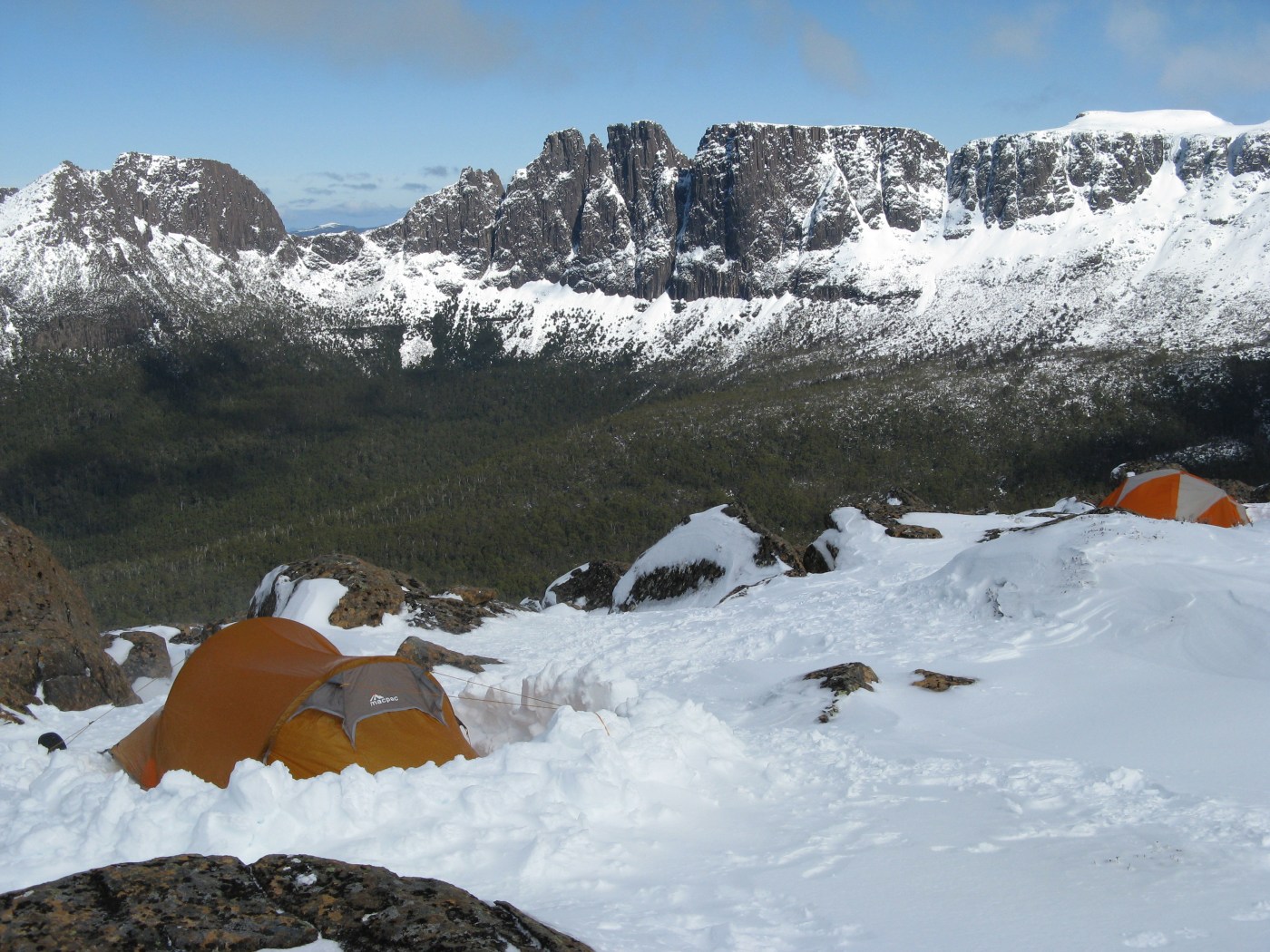
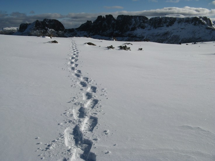
Anyone who has skied or snowboarded in Tasmania knows that when it goes off, it Goes Off. The secret is to be close when the snow hits and get out to the hills the minute the storm is dwindling off. Snowpack in lutruwita/ Tasmania can melt incredibly quickly due to lower elevation and the maritime weather influence. But when its awesome, its Awesome.
This may be the future of backcountry skiing and riding on the mainland: erratic weather cycles of snow and rain, with loss of snowpack, meaning the secret to good conditions is always to chase the storm and get out before the next rain cycle.
Action is always the antidote to despair
Change is already locked in to the climate system. But we can reduce future impacts on the mountains by acting to reduce greenhouse gas emissions now.
In the short term, why not join the Protect our Winters #welcomebackwinter actions which will happen over opening weekend (June 11) 2022? Full details here.
Images are from the Castle Crag area, looking towards the Ducane Range, central TAS/ lutruwita.


Leave a comment