Hoogenraad Auditorium, La Trobe Institute for Molecular Sciences
LA TROBE UNIVERSITY, Bundoora Campus
Hosted by the Research Centre for Applied Alpine Ecology, La Trobe University
This Symposium will showcase how science answers questions about a current, highly topical management issue in the Australian Alps – the effects of livestock grazing on fire regimes of the Australian High Country. The guest speakers will address globally important topics such as the evolution of Australia as a flammable continent, how weather and fuels determine fire regimes, fire-grazing interactions, and approaches to assessing the effectiveness of various fire management options, including alpine grazing. This is a public forum about an important land management issue, and there will be ample time for questions and discussion at the conclusion of the talks. The Symposium will be followed by drinks and nibbles.
This Symposium is a must for anyone with an interest in the ecology and management of the Australian Alps. Enquiries and reservations: femaa2014@gmail.com
There is no doubt that our fire seasons are getting longer and more intense. Here in the south east, in terms of massive fires (greater than 250,000 ha), Victoria experienced two such events in the 19th century and five in the 20th century. In less than two decades, we have already had three mega fires in the 21st century. Many alpine areas have been burnt three times in the space of a decade.
There is no coherent overall response as yet by state or federal governments that outlines how we should respond to the growing interaction of climate change and wildfire. Sadly, our Prime Minister is in denial, having claimed that since ‘fires have always been part of our landscape’ there is no link to climate change. The Victorian state government has been challenged on the lack of attention to climate change in it’s approach to managing fire risk. Reducing fire risk is therefore about reducing fuel load and getting larger equipment , not about reducing greenhouse gas emissions or accepting that enhanced fire risk is the new reality for much of the country.
The following report, from Grist, outlines a different approach. The US government has released a strategy that aims to respond to the changing nature of fire threats. One aspect that especially interested me is the fact that it includes an approach that aims to ‘restore and maintain landscapes that are resilient to fire.’ In Victoria, we seem to be doing the opposite. There is a politically driven target that dictates that 5% of the state will receive fuel reduction treatment each year. This is in spite of the fact that some vegetation types don’t need burning to maintain ecological health, and others can become more flammable with the wrong fuel reduction approaches, and others are directly threatened by too much fire.
Climate change just reshaped America’s wildfire strategy
Like a tree in a greenhouse, America’s forest fire problem is growing ominously. Rising temperatures and declining rain and snowfall are parching fire-prone areas and juicing conflagrations. On Thursday, following years of meetings and scientific reviews, the Obama administration published a 101-page strategy that aims to help meet the country’s shifting fire threats.
The National Cohesive Wildland Fire Management Strategy divides the nation according to fire risks, and profiles the communities that face those risks. “No one-size-fits-all approach exists to address the challenges facing the Nation,” the strategy states.
Despite covering 70,000 communities and 46 million homes, the strategy can be boiled down to guidelines that aim to do three main things: restore and maintain landscapes that are resilient to fire; brace communities and infrastructure for occasional blazes; and help officials make wise decisions about how and whether flames should be doused. Here’s what that all looks like in flowchart form:
“As climate change spurs extended droughts and longer fire seasons, this collaborative wildfire blueprint will help us restore forests and rangelands to make communities less vulnerable,” said Mike Boots, chair of the White House Council on Environmental Quality.
With bushfire season still in full force, the kindest thing that can be said about the Victorian Government order to the community of Woods Point that they abandon their fire refuge is that it is very badly timed.
Woods Point is one of the most isolated towns in the state, in a valley in the Victorian high country. Long sections of heavily forested country must be traversed if people are to leave in the case of fire threat and the need for a community refuge is both obvious and necessary.
The following report comes from The Weekly Times, written by Chris McLennan.
Fury as Woods Point bushfire refuge deemed illegal
A SMALL Victorian town will defy a Victorian Government order to abandon their fire refuge.
Woods Point residents rely on the old gold mine tunnel which has saved the town’s population once before.
Despite the tunnel being the state’s only officially recognised fire refuge for years, new rules governing the construction of refuges have seen the government and local council in the last few weeks refuse to accept legal liability for the structure.
Signs nominating the tunnel as a fire refuge are to be removed and residents fear a gate on the entrance will be padlocked.
”Do they want us to die?” member of the town’s safety committee, Margaret Martyn said.
Fire Services Commissioner Craig Lapsley yesterday said the tunnel, known locally as the adit, did not meet the new building requirements to be a community fire refuge.
The Country Fire Authority yesterday began an assessment of the tunnel hoping to reclassify it as a “Neighbourhood Safer Place” but the question of legal liability remains.
Mr Lapsley said the CFA, Victoria Police and the Fire Services Commissioner would continue to work with Mansfield Shire Council to resolve the issue.
He said before the 2009 Black Saturday bushfires, there was an adhoc and inconsistent approach to the designation of community fire refuges.
Snow gums are the quintessential alpine tree on mainland Australia, generally growing at heights between 1,300 and 1,800 metres asl. Forests and woodlands of Eucalyptus pauciflora can look quite uniform from a distance, but up close they have such character.
But wildfire has been devastating large swathes of snow gum habitat, with significant fires in the Victorian High Country in 1998, 2002/3, 2006/7 and 2013 and in the Snowy Mountains in 2003.
Research is showing that if we want to allow snow gum forests the chance to recover from these fires, we need to keep the cattle out and do our best to stop any future fire activity.
Most fires in the mountains (so far) have been in the foothills (see news item below from The Gippsland Times) or East Gippsland. However the CFA is now reporting fire activity in various locations in the high country.
There is a fire roughly 20km NNE of Benambra Township and the high ridge country near Mt Matlock. Check the CFA site for details.
As of friday morning, Jan 17, the CFA is reporting that
Firefighters are responding to a fire in the TAMBORITHA-CAREY RIVER area 15kms NE of Licola.
UPDATE ON TAMBORITHA FIRE, Jan 22
Fire is still going, now 150 ha in size, and the regions identified below are still closed.
UPDATE JAN 19
The fire is currently 120 hectares in size.
The Lake Tarli Karng walking track network is closed. Visitors should also stay away from tracks north of the Avon Wilderness area and the Mount Wellington to Millers Hut 4WD area.
JAN 17 NOTE ON TAMBORITHA FIRE:
Campers and walkers in the Carey River catchment, north of the Avon Wilderness Park, the Lake Tarli Karng track network and the Mount Wellington to Millers Hut 4WD area are advised to leave and all visitors should stay away from these areas.
Ground crews will be checking for vehicles and walkers, with air support if necessary.
Additionally, there is advice for Ensay, Omeo, Swifts Creek, Benambra:
Firefighters are responding to a fire in the 33 KM NE SWIFTS CREEK area in the vicinity of Brumby Rock.
There is currently no threat to communities, but you should continue to stay informed and monitor conditions.
Fire crews battle High Country lightning blazes
FIRE conditions are predicted to significantly worsen on Friday with Severe Fire Danger Ratings forecast across Gippsland.
For Sale a top temperature of 41 degrees has been forecast for Friday with a light shower of two and the chance of a thunderstorm from the early afternoon.
Work by DEPI, Parks Victoria and CFA fire fighters on Wednesday prevented the spread of many fires across Gippsland.
A band of lightning crossed parts of central and east Gippsland and sparked many small fires.
The majority of these fires have been in the area north of Briagolong and the area north of Bruthen.
Firefighting aircraft and dozers were dispatched to support firefighters on the ground.
Gippsland regional fire controller Bryan Russell commended fire crews for their speedy work in very hot and uncomfortable conditions.
As the Gippsland Times went to press crews were fighting fires at Briagolong, Dargo, Treasures, Waterford, Castleburn, Cobbannah.
In the east fires were also burning.
An all clear advice had been issued for fires at Mossiface, Bruthen and Wiseleigh.
I have been out checking some of my special places, to see how they are faring after last summer’s Feathertop fire. The north razorback fire burnt hot up and out of the Ovens river, past Mt Smythe and into the Upper Buckland River and swinging east around the massive bulk of Hotham and towards Dinner Plain.
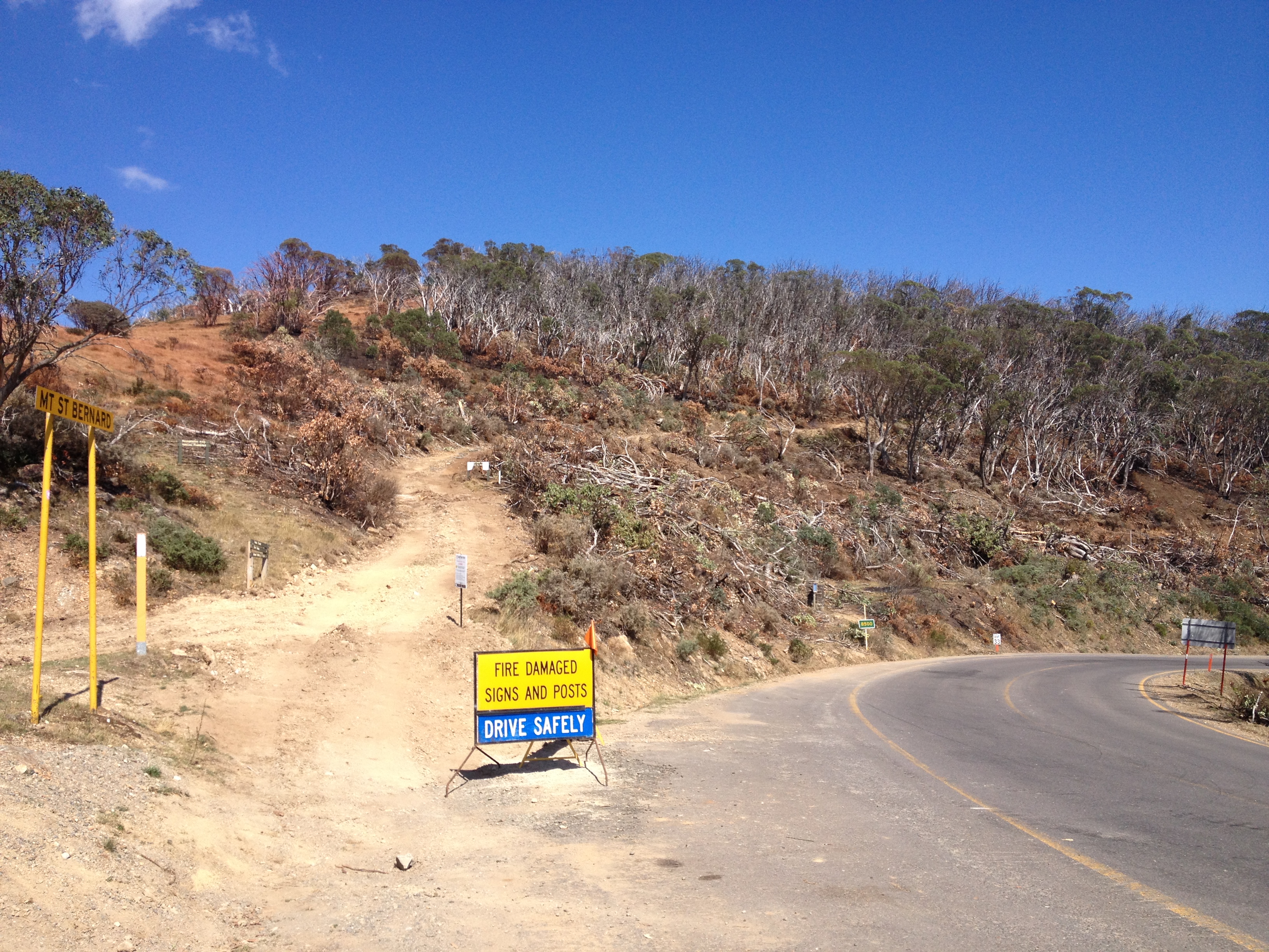
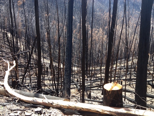
Many of the forests along the Sugarloaf Ridge were badly burnt and now big swathes of burnt out country have been clearfelled to protect the Great Alpine Road. I understand the need to cut out the alpine ash close to the road that had been killed in the 2013 or earlier fires, but a major over clearing has happened on the slopes of Mt St Bernard, where fire killed snowgums well back from the road had been clearfelled for no obvious reason.
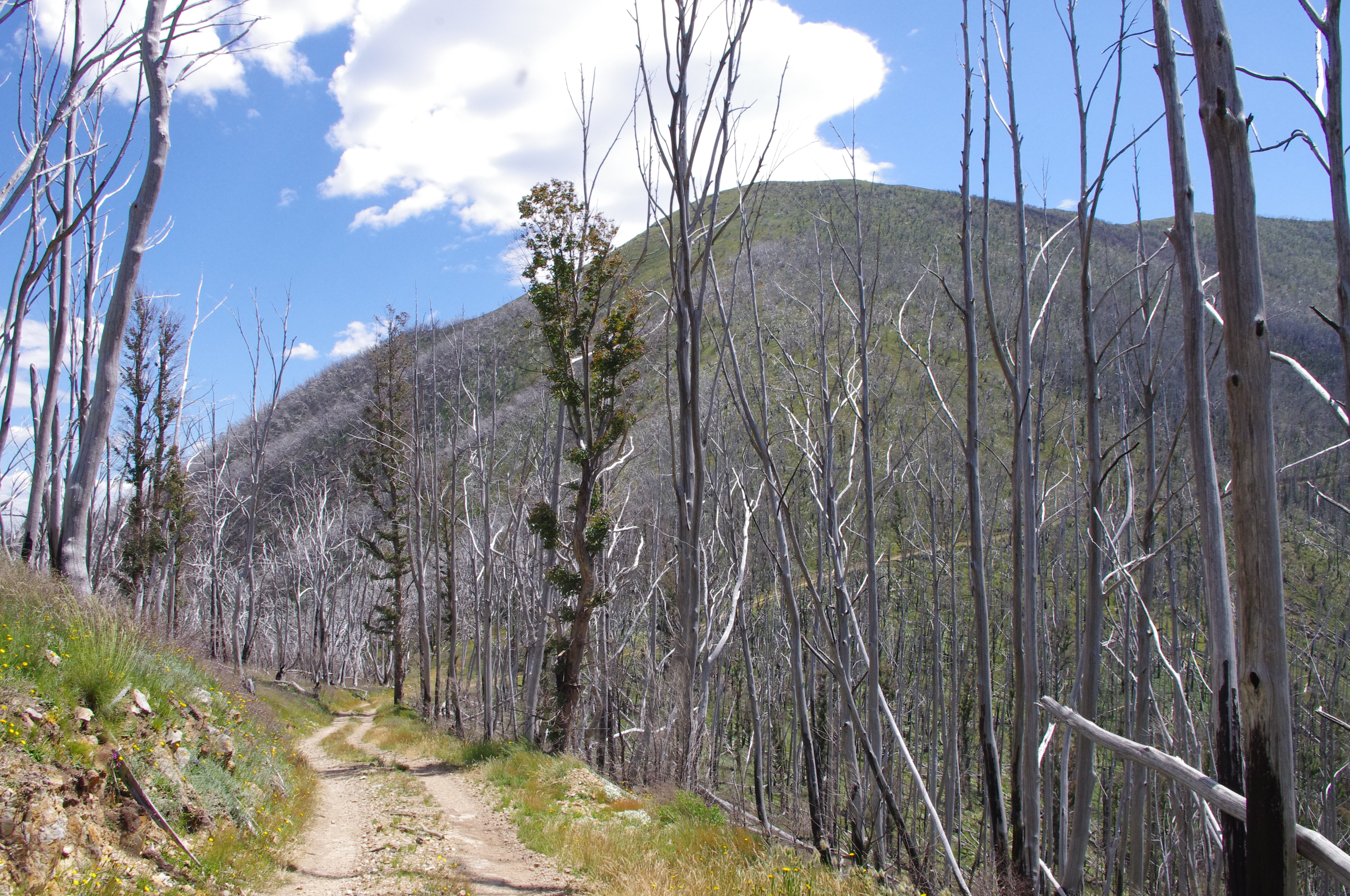
Parts of this country have been burnt three times in a decade. Each year, the land becomes ever more of a mosaic of new burn, older burn, and pockets of old forest – alpine ash and snow gum – that have survived each onslaught. The 2013 fire has killed off forests, glades, slopes that had survived the earlier fires. The headwater country of the Ovens, Buckland, and Wongungarra were hammered hard over the past summer. To my eyes that land seems poorer, from too many burns in too few seasons.
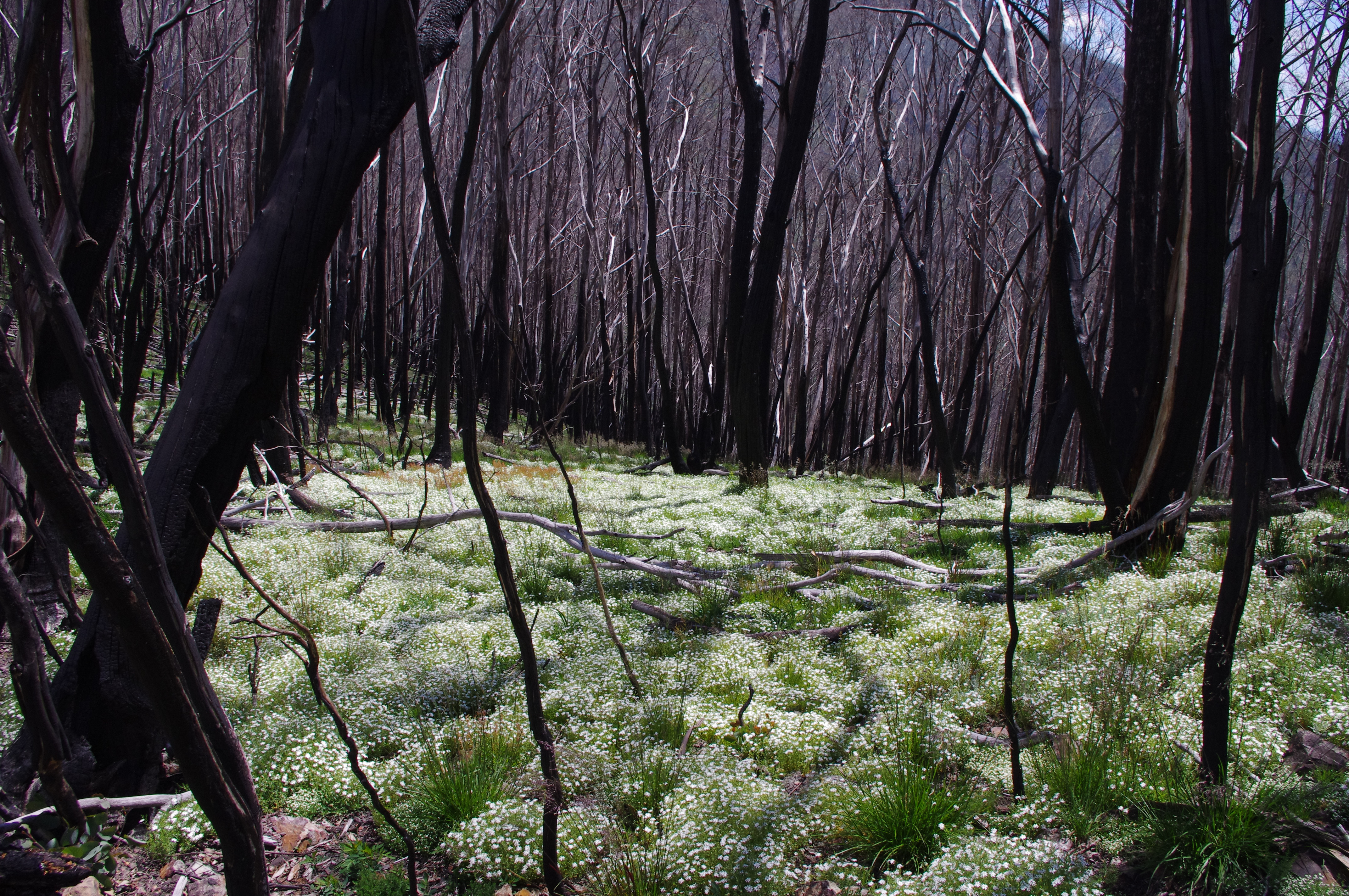
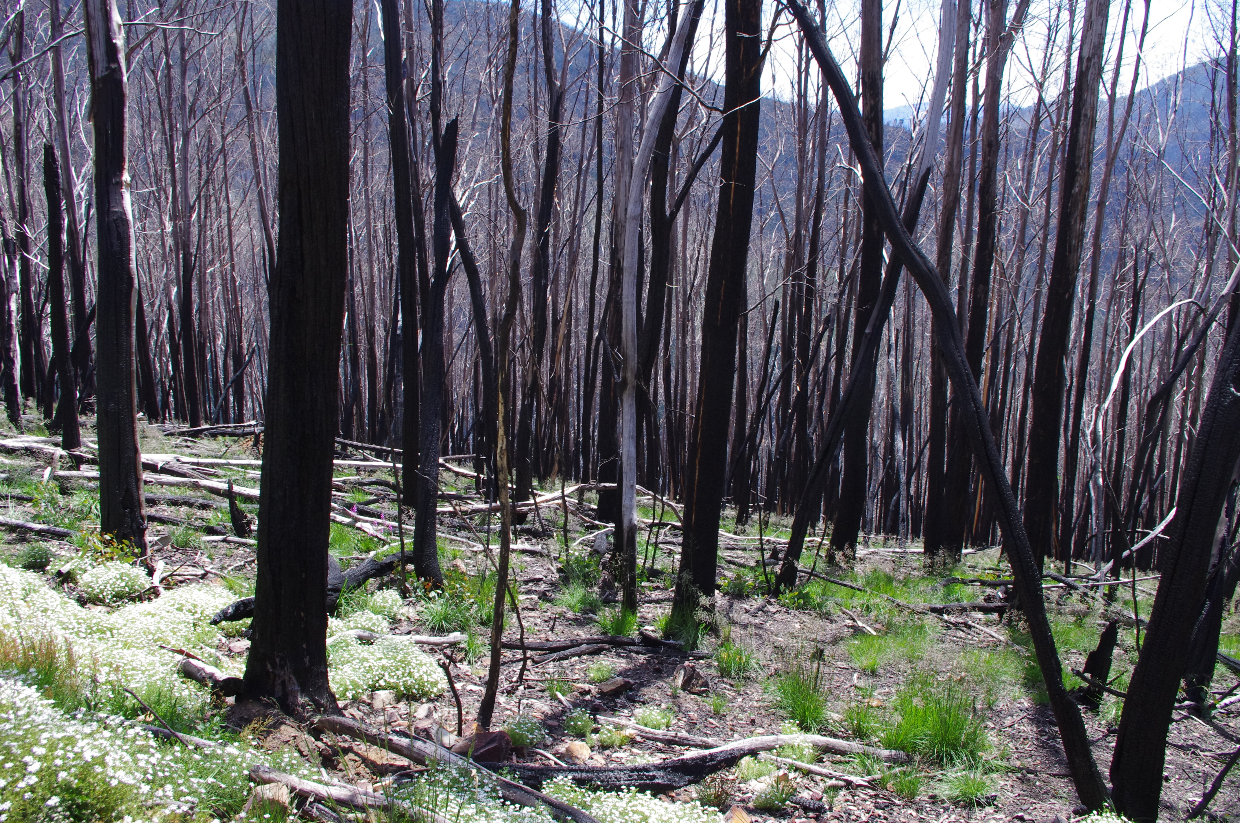
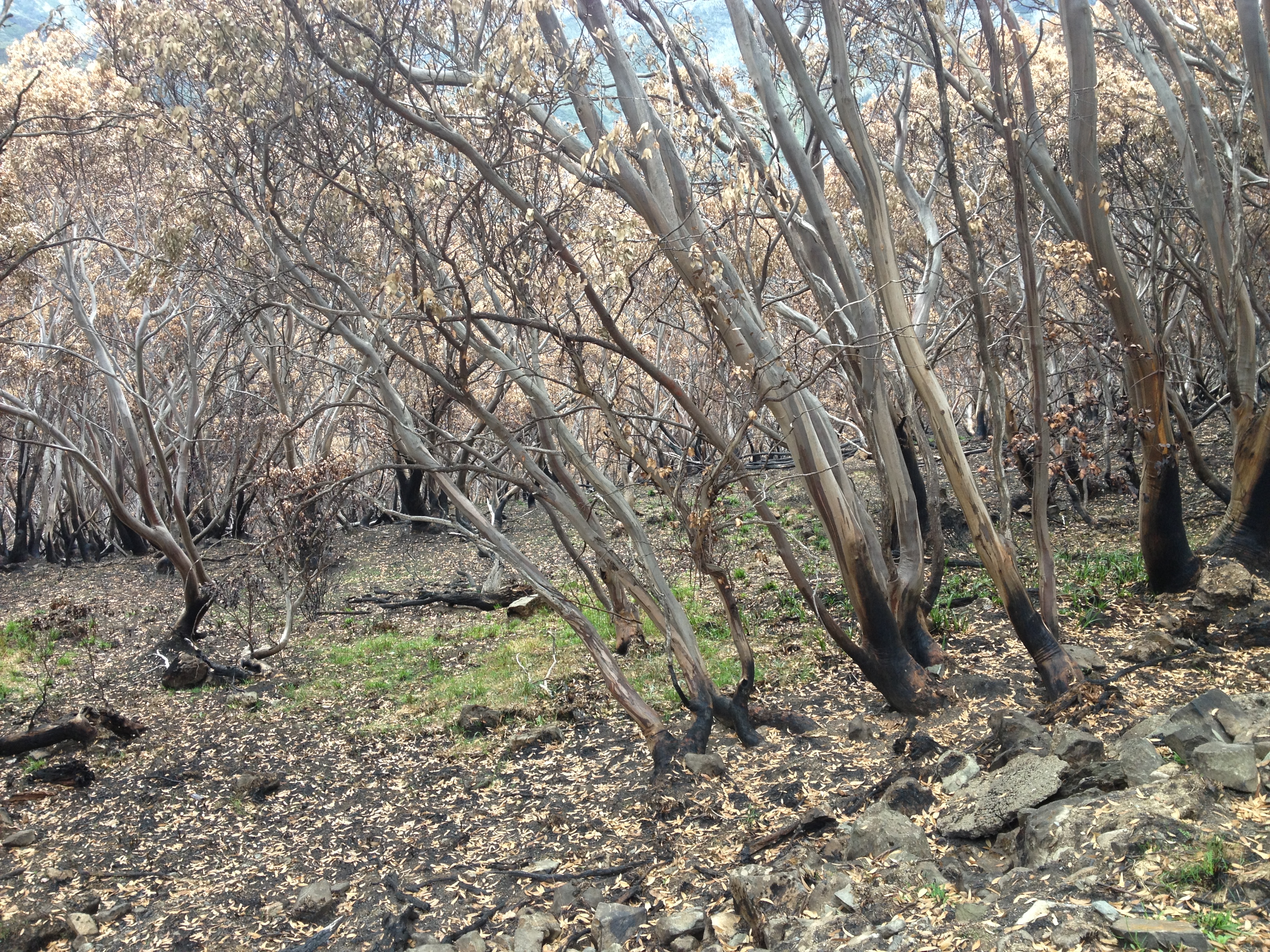
Fire has always been a part of our landscape. And climate science clearly tells us that longer and harder fire seasons are our future. These last few days I have wandered through alpine ash slopes and snow gum forests that had been completely scorched. Other areas have been lightly burnt, others spared altogether. The fire burnt hot up out of the Ovens, then seemed to turn back around some of the higher ridges on the Divide slower and with less heat. Its incredible to see some areas thick with new fern and daisys, while other areas as still mostly bare soil and logs, dead trees still black, streamers of bark rattling in the breeze. In some areas wattle are shooting back, in others, the beginning of Elderberry Panax groves or thick rushes of snow gums re-shooting around the burl of parent trees. If anything, the most recent fires have increased the mosaic effect on the ground.
Below tree line, the forests on these mountains can look so similar from a distance. Up close it is a mix of montane forests merging to alpine ash, leading to snow gum, the mix of vegetation in each place all dependent on slope and aspect, altitude and soil, fire history and circumstance. These most recent fires have added to the mix of already complex ecosystems and forest types.
In my mind I can see a future of more frequent fires, longer summers, warmer winters, and the land that I know and love so well being transformed into something new and poorer. Less old growth, trees pushed beyond their limits, less diversity of living things. But in the short term – summer to summer, the annual cycle that my mind can hold and understand – I see nature adapting and filling the spaces created by each fire. There is a deep ability for tenacity and resilience, seeking balance. The great unknown we face is that we do not yet understand the point at which we will have crossed beyond the balance of resilience and natural cycle into the time when balance will be broken by a human induced future. Some days I am frightened that no one knows, or will even be able to identify, that point of no return, when resilience is surpassed by a new reality that will make our familiar lands a new country, one that is foreign and strange, beyond anything we have known before.
The CFA is reporting ‘fire activity in the northern Wonnangatta Valley. This fire has started as a result of last nights lightning activity. The fire is close to the Australian Alps Walking Track and the Macalister Springs Hut. The fire is currently active in the Cross Cut Saw Section of the track and visitors are advised to avoid the area’.
The fire is in the Terrible Hollow and apparently burning up towards Mt Buggery. As of midday Dec 20, it was listed as being 10 ha in size.
Scroll down for updates
UPDATE. 21 DEC
The fire is close to the Australian Alps Walking Track and the Macalister Springs Hut. The fire is currently active in the Crosscut Saw Section of the track and visitors are advised to avoid the area.
The Australian Alpine Walking Track is closed from King Billy Saddle through to Barry Saddle (where Barry Saddle adjoins the Wonnangatta Road).
Closures to the Alpine Walking Track include: Howitt Spur Walking Track, Queen Spur Walking Track, King Spur Walking Track and Macalister Springs Walking Track. (This general area of closures to the Australian Alpine Walking Track is also known as the Howitt Crosscut Speculation Area).
Smoke will be visible in the area. Aircraft will be operating in the vicinity of Mt Buller and Snowy Range today and tomorrow.
The fire is still going and described as being in the ‘Cross Cut Saw’ area (now 42 ha in size), with the Alpine track and surrounding areas closed. Fire breaks are being cut on the south east and eastern flanks, and fire retardants on the western sides.
UPDATE. DEC 23
The fire is now described by the CFA as being ‘contained’ at 45ha in size. The area outlined above remain closed.
UPDATE. DEC 24
The CFA has announced that the fire is now contained, although it appears that previously announced track closures are still in place. Check with Parks Vic before going near the area.
The 2013 state of the environment report, produced by the Commissioner for Environmental Sustainability, has just been released. Apart from providing a fascinating, and worrying, snapshot of the state of the Victorian environment, it offers some significant insights to how we respond to fire risk.
“Across the 30 indicators the report uses to assess Victoria’s environment – across climate, biodiversity, land, inland waters, coasts and human settlements – 16 were considered in poor health, six fair and just one good.
When it comes to fire and fuel reduction:
“The report … says the state government should withdraw support for a recommendation by the 2009 Bushfire Royal Commission to burn five per cent of public land each year to prevent bushfires. The report says this target could mean some areas will be exposed to fire frequency above its tolerance, impacting biodiversity.
“altered burning regimes, which we expect to be driven by climate change, have the potential to severely impact biodiversity and ecosystem function and services”.
(page 10, chapter 3)
The Age report continues:
“Professor Auty recommends instead a new approach be developed focusing on protecting key assets from bushfires for both public and private land, with the results reported to demonstrate the risk reduction achieved. She also notes the government is yet to report on the biodiversity impacts of planned burns, a recommendation of the Royal Commission”.
Many ecologists have criticised the 5% burn target because of the political imperative for land managers to burn to meet their quotas, sometimes resulting in burns in less than optimum conditions (with the risk of fires escaping), burns in remote areas where asset protection is meaningless, and burns in areas regardless of the ecological impacts of the operation.
Let’s hope the report has some influence on how the state government manages fire risk, starting the shift from a simple ‘hectares target’ approach into a more nuanced and ecologically targeted approach which will protect human assets.
From my observations in some areas that I am familiar with, and that have been burned for fuel reduction, you can end up with more fuel after the burn. Loads of fine fuels quickly return to pre-burn levels but the fire and heat kills a lot of the understory leaving a lot of coarser ‘ladder’ fuel that previously wasn’t there. The fuel reduction dogma cart is before the horse. — There’s no doubt that fire has been instrumental in shaping the Australian landscape but it’s more nuanced than ‘fire = good’, ‘no fire = bad’. If, for example, industrial logging and fuel reduction regimes remove or disturb forests at higher elevations, wet forests, rainforests and riparian and other communities that by their physical nature act to limit and mitigate fire spread across wide geographic areas, one potential result is fire regimes that burn over larger areas at hotter temperatures. That will create natural selection processes that favor fire respondent species and have a homogenising effect across previously diverse ecosystems. The potential for negative feedback loops is evident. Indiscriminately napalming vast tracts of forest from helicopters with a budget constrained skeleton crew operating on the fringes is possibly not the best approach to implementing a scientifically and ecologically informed fire regime. — I would also add there’s no point point in burning remote areas to reach arbitrary fuel reduction targets when the real problem is at the urban interface where populations and planning laws keep pushing into forested areas. As city fringes become more urbanised and “safe”, the growing population means there are always people pushing out into high risk areas. In most cases, these sites will never be defendable on extreme days no matter how much you burn or how many dollars they charge for the fire levy.
The following excerts come from a piece by Grant Williamson, Brett Murphy, and David Bowman published in The Conversation. It seems pertinent given the current proposal to re-introduce cattle into a section of the Alpine national park.
This was not an on-ground research project into how grazing might be used as a fuel management tool. Rather, it was based on an assessment of satellite images of the Victorian Alps. They looked at vegetation maps from the past, and compared them with areas after the cessation of grazing, and also the impacts of extensive areas burnt by fires.
“We overlaid maps of crown scorch derived from satellite imagery following large bushfires in 2002/03 and 2006/07 with the location of pastoral leases. Crown scorch is a measure of fire intensity, based on the degree to which flames have reached a height which enables them to burn the forest canopy”.
They summarise their findings in this way:
“Using geospatial statistics we found that cattle grazing had no effect on the likelihood of crown scorch in eucalypt forests and woodlands.
This result is biologically plausible given that cattle are grazing animals, not browsing animals – they do not extensively feed on woody vegetation focusing on grasses instead. Our study is also consistent with previous ground-based studies that have demonstrated the cattle prefer to graze in grassy areas”.
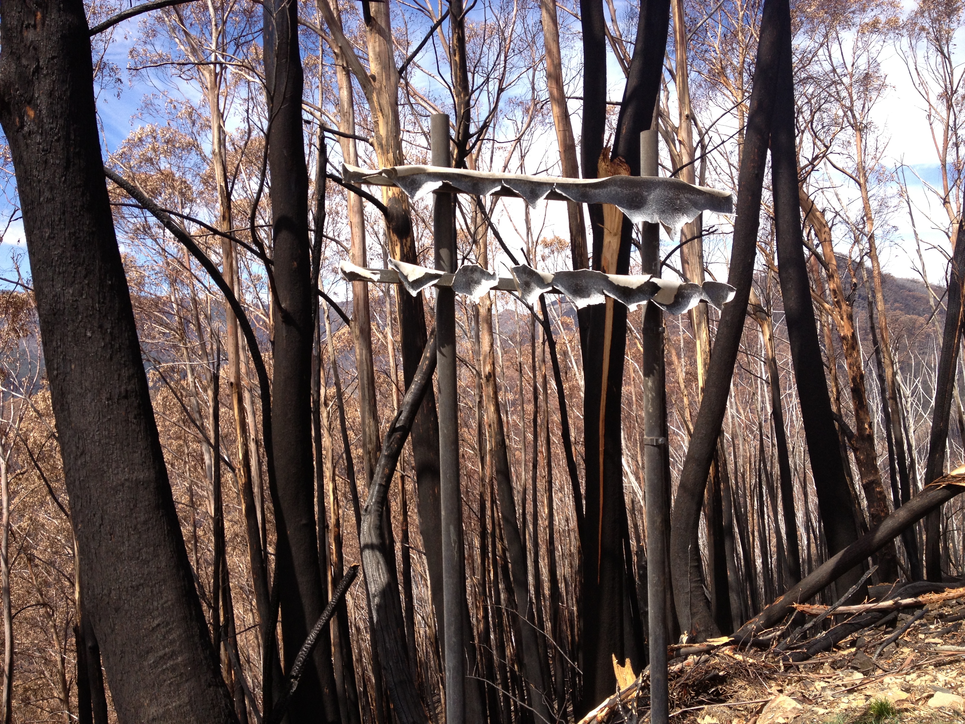
The North West Spur fire burnt hot up and out of the Upper East Ovens valley, over the St Bernard – Sugarloaf ridge, killing a lot of the remaining Alpine Ash forests along the upper sections of the Great Alpine Road that had survived previous fires, and snow gum forests at higher elevations.
A huge effort was made to get the road open in time for Easter and winter, with massive tree felling operations along the road, and removal of debris.
The final stage in these operations is now underway, and Vic Roads will be doing works on the Great Alpine Road from November 11th through until early December to remove fire damaged trees effected by the 2013 bushfires. One of the problems has been the large number of trees killed in previous fires being burnt again this year, and becoming very likely to collapse.
For anyone that has driven the road in recent months, you will be painfully aware of the visual impacts of these operations.
What is less clear at this point is the environmental impacts of effectively clear felling a large swathe of forest along the road. As noted by VicRoads, this clearing is substantial in some areas, between 10 and 40 metres from the roadside. There have been attempts to reduce the impacts of this work, for instance removing many of the trees being felled beyond what would be normal on the forest floor, and aerial seeding of alpine ash.
But the fact remains that safety considerations for traffic has resulted in a 20 km clearcut, mostly within a national park.
VicRoads advises that access to sections of the Great Alpine Road will be reduced at various times from Monday 11 November until Friday 20 December to enable the safe removal of dead and dangerous bushfire damaged trees.
These works are a continuation of the tree removal works that were undertaken prior to the 2013 snow season. It is essential for VicRoads to remove these hazardous fire damaged trees from the roadside as soon as possible as they present a potential road safety hazard.
From Monday 11 November until early December, the Great Alpine Road will be closed to traffic between Harrietville and Dargo High Plains Road between 8.00am & 1.00pm and 2.00pm & 5.00pm on weekdays to enable tree removal from within 10 metres of the roadside. However, the road will be open at all other times including weekends.
From early December until Friday 20 December, tree removal will continue in an area 10-40 metres from the roadside in the Alpine National Park. This work is being undertaken in consultation with Parks Victoria. Local traffic closures will be in place with delays expected. In addition to the tree removal, VicRoads will also be replacing fire damaged guardrail at 11 locations.
The Alps Link bus service between Omeo and Bright will continue to run during this time.
During the road closure period, Mount Hotham and Dinner Plain will remain accessible via Omeo and Dargo at all times.
Access between Bright and Omeo will be available via Bright-Tawonga Road (C536), Kiewa Valley Highway (C531) to Mount Beauty, then along the Bogong High Plains Road (C531) and the Omeo Highway (C543) to Omeo.
VicRoads encourages motorists travelling through the area to plan ahead and allow for significant additional travel time.
Motorists are requested to observe the changed traffic conditions for their own safety and the safety of workers nearby the road, including adhering to reduced speed limits.
VicRoads thanks the community for their patience while these important works are carried out.
For enquiries or more information about the works, please contact VicRoads on 5761 1827.
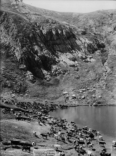
Images of mountain grazing tend to be positive, often evoking the frontier ethos
From my earliest days of walking in the Alps, cattle were a prominent feature of many places I visited. I would often meet cattlemen (almost invariably men), who would assure me the cattle were a benign influence on the environment.
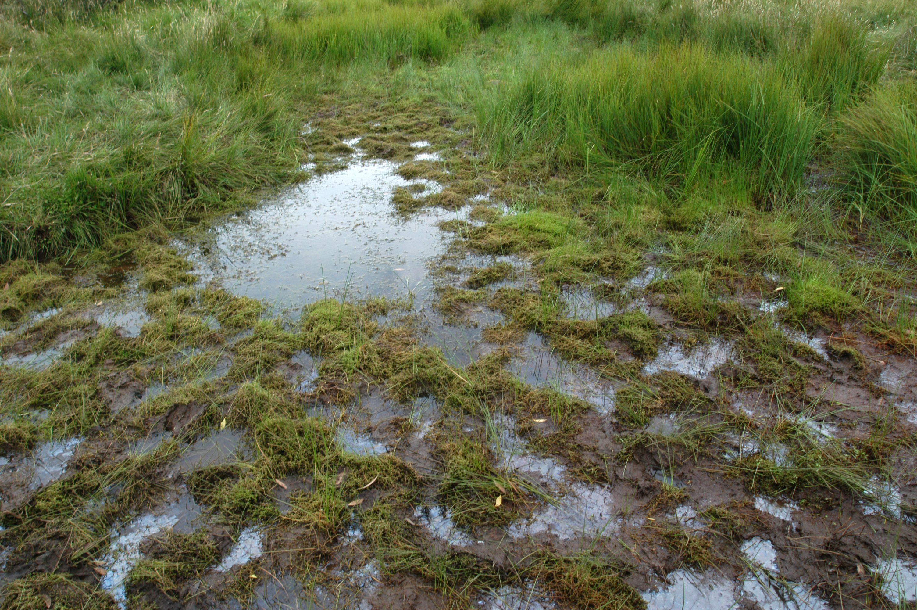
But what I saw was trampled wetlands and stream beds. I saw cattle standing in the headwaters of crystal clear streams, crapping and stomping the stream banks. I saw them spreading weeds. And I saw them selectively eating the succulent low lying vegetation in meadows rather than the flammable shrubs on the edges of those systems. More than once I was chased by a herd, and a scarey and heart thumping run and scramble up a tree got me out of a few situations. At Mt Stirling I saw that the ‘exclusion zone’ around the alpine summit was somewhat aspirational – the fence was normally damaged and there were almost always cows wandering around up on the summit. I drank from streams that had been polluted by huge animals with damaging hard hooves. At Macalister Springs we were warned of intestinal worms that had been introduced by cattle years before.
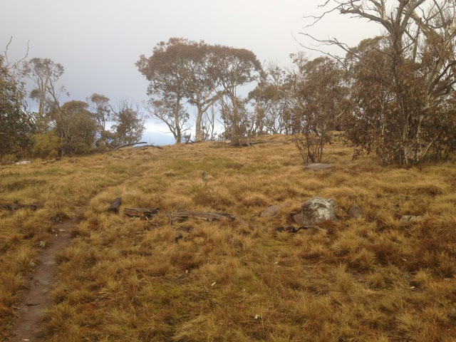
But my experience of alpine grazing was more like this.
At 16, I wanted a sticker that said ‘cattle grazing increases blazing’.
Cattle were finally removed from the Alpine National Park in 2005 by the Bracks Government after a thorough investigation by the Alpine Grazing Parliamentary Taskforce. Cattle continued to graze in state forest next to the park.
In recent years I have witnessed the recovery of alpine systems as cattle caused erosion slowly healed.
That should have been the end of the matter. But we all know that it was plain old politics that saw the newly elected Coalition government try to fulfil a promise to the mountain cattlemen for their support in ousting East Gippsland independent MP Craig Ingram at the 2010 state election. They allowed the cattlemen to return cattle to the Alpine national park in a sneaky operation under the guise of ‘scientific grazing’. Thankfully that was thwarted by the federal government.
As has been noted on this site, the election of the Coalition to federal Coalition to power has changed the dynamic, and the president of the Mountain Cattleman’s Association, Charlie Lovick, says alpine grazing is ‘back on the agenda’.
He says there is no other way to effectively control fire fuel loads above an elevation of 1,200 metres.
“How else do you reduce the fuel load because grass and scrub grows,” he said.
“We’re saying that cattle are a perfect balance to manage the higher stuff, to chew it down and keep it nice and green and you can more confidently burn the other areas.”
Mr Lovick red tape is the only thing stopping the federal and state governments from moving ahead with the plan.
If you’ve never been to the high country, it might seem sensible to argue that there will be less fire where cattle graze. But the idea doesn’t actually stack up when you look at the science.
The most significant research on alpine grazing and fire was carried out shortly after the 2003 fires swept across Victoria’s Alpine National Park, and was published in a peer-reviewed journal.
The conclusion was that grazing is not scientifically justified as a tool for fire abatement.
Many earlier studies have shown the damage cattle cause in the Alps.
Alpine grazing was not recommended by the Bushfires Royal Commission.
Victoria’s 2009 Bushfires Royal Commission was an inquiry of unparalleled thoroughness. It had no limits to the subjects it could address, was granted a $40 million budget, and sat for 155 days between May 2009 and May 2010.
The Commission made ten recommendations for research into fire related matters. The effectiveness of alpine grazing on reducing fire was not one of them.
The Commission recommended, as a high priority, extensive research into the monitoring of the effectiveness of fuel reduction burning programs across Victoria, and monitoring of the impacts of bushfires and fuel reduction burning on biodiversity.
The Department of Sustainability and Environment’s own Code of Fire practice says that ‘(domestic stock) grazing is appropriate only for significantly modified habitats’, such as roadsides.
There is compelling peer-reviewed evidence showing that alpine cattle grazing has no significant effect on mitigating bushfires.
So, as Mr Abbott works his way through his top order list, like ‘stopping the boats’ and winding back the price on carbon, cutting ‘green tape’ and so on, will he eventually get to the wish list of the mountain cattlemen?
It seems to me that alpine grazing would be entirely consistent with the world view of Tony Abbott and the mountain cattlemen: if you don’t like what the science is telling you, ignore it and do what you wanted to do in the first case.
If you’re not a huge fan of this world view, you may want to send a message to the federal environment minister, Greg Hunt.
The Victorian Coalition Government has launched an urgent effort to re-seed about 2,000 hectares of Alpine Ash forest that was burnt during the Harrietville fire earlier this year.
Minister for Environment and Climate Change Ryan Smith said a helicopter was being used to spread Alpine Ash seeds across 198 hectares of State Forest and 1,876 hectares of National Park that was burnt in the fires.
“Areas within the Harrietville fire boundary have been burnt several times over the past decade and Department of Environment and Primary Industries and Parks Victoria ecology experts predict about 2,000 hectares will not be able to naturally regenerate due to the nature of Alpine Ash and its response to fire,” Mr Smith said.
“It is also important to re-seed the area to assist with stabilising the fragile soils in the steep terrain to protect water catchments, which supply communities downstream.
“We have already started the aerial re-seeding operation in the State Forest and will continue the work over the next few days if the weather conditions remain suitable.”
Parks Victoria Regional Director East Andrew Marshall said it was important to sow the Ash seeds before other plants regenerate so the Ash seeds can germinate in the spring.
“There will be some follow-up monitoring of some sites within the State Forests but in National Parks areas this is a once off opportunity to regenerate,” Mr Marshall said.
The cost of the re-seeding work is approximately $620,000 and is funded as part of the Victorian Coalition Government’s Harrietville fire recovery program.
 WEDNESDAY 21st MAY 2014, 530 to 700 PM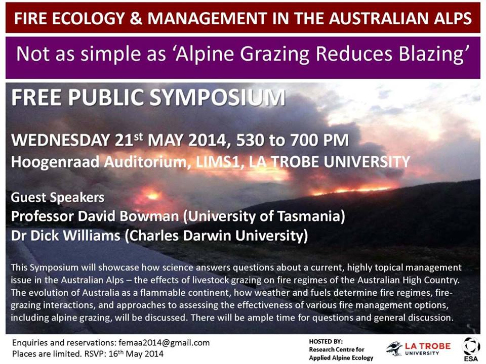





Recent Comments