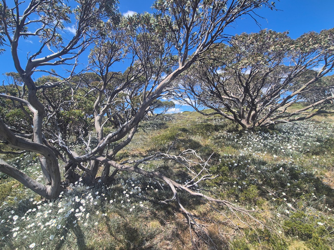
The Australian Alps Walking Track (AAWT) is one of the premier long distance walking trails in Australia. While the distance (around 650 kilometres) is impressive, it is the fact that it passes through so much remote country that makes a full crossing such a feat. And it has an epic 28,000 metres of elevation gain during the length of the walk. Unlike many long hiking tracks around the world there are only a small number of points to easily get off the track or to resupply, and this adds to the pre planning and commitment required to walk across Australia’s highest country.
Mountain Journal often features stories from people who have walked the track. One of the recent stories was a reflection from Geoff Law who talked about the environmental impacts he saw along the way, including the impacts of repeat fire and dieback on snow gum forests.
We have a special request of people walking the track in 2026: please do some surveying as you go, checking the health of snow gum forests. Compile the data you gather and assist in building our understanding of the health of snow gum communities across the high country.
All you would need is the ability to check the health of the trees you’re looking at. Collect the data, take a few photos, and send them to us.
A bit of background
Snow gums are the iconic vegetation species of the Australian High country.
They are beautiful, vital for biodiversity and tourism, help hold snow pack which is released into river catchments, and hold deep cultural value for many people.
However, we are now seeing the beginning of ecosystem collapse across these forests – drought, dieback and successive fires have altered the structure, composition, and condition of snow gum woodlands dramatically.
We must intervene and develop a robust recovery plan if these ecological communities are to remain viable into the future.
As part of the process of attempting to gain threatened species listing of snow gums under federal environmental legislation, Friends of the Earth (FoE) has been organising citizen events where the health of trees is mapped. All the information gathered will assist in the listing process. There is info on the events available here.
If you’re walking the AAWT, would you be willing to collect data as you go?
Here’s how it would work.
- Pick a spot to survey (for instance when you get to camp and have an hour or two to spare)
- Pick an area to survey (small pockets of forest surrounded by a snow plain or with an edge like a track are easiest to do)
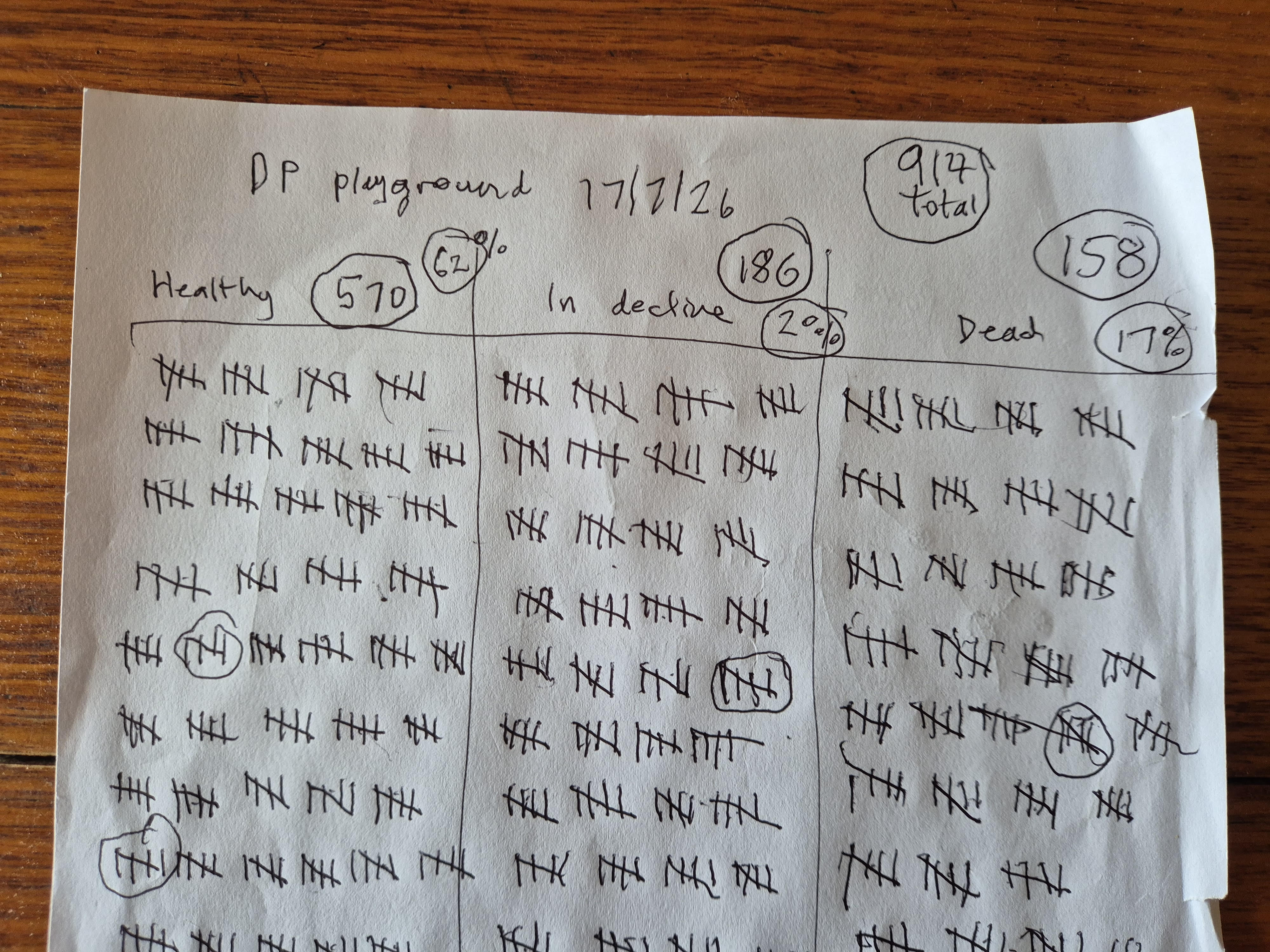
- Walk through the area and assess the health of each tree and record it on paper (check here for a sense of how to do this)
- Mark the boundaries of the area you have mapped with a pin on a google map if possible
- Take a couple of photos of leaves and any fruits or buds of the trees in the area you’re surveying and send to us when you have coverage
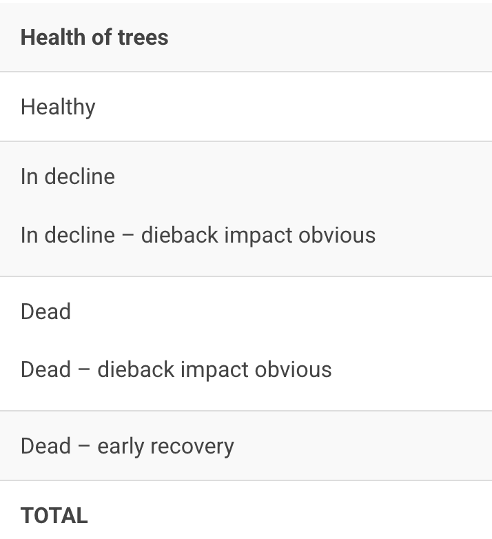
- Compile the data into a table and send to us
You can also use the inaturalist app to log your findings.
https://www.inaturalist.org/projects/foe-backcountry-snow-gum-census
How to assess the trees
Please assess the trees as fitting into one of these categories
1/ Healthy – the tree has an intact canopy, healthy branches with many green leaves (some dead branches are fine, old trees will start to show areas of dead branches, but if the tree looks vibrant/healthy put it in this category).
2/ Dead – a tree with bare branches, devoid of any green leaves. No fresh shoots from the base or branches. May have signs of dieback or black/charcoal fire scars. It will look grey and weathered from a distance.
Please add the following detail to this category:
- signs of significant dieback damage
- signs of significant fire damage
- signs of fire and dieback
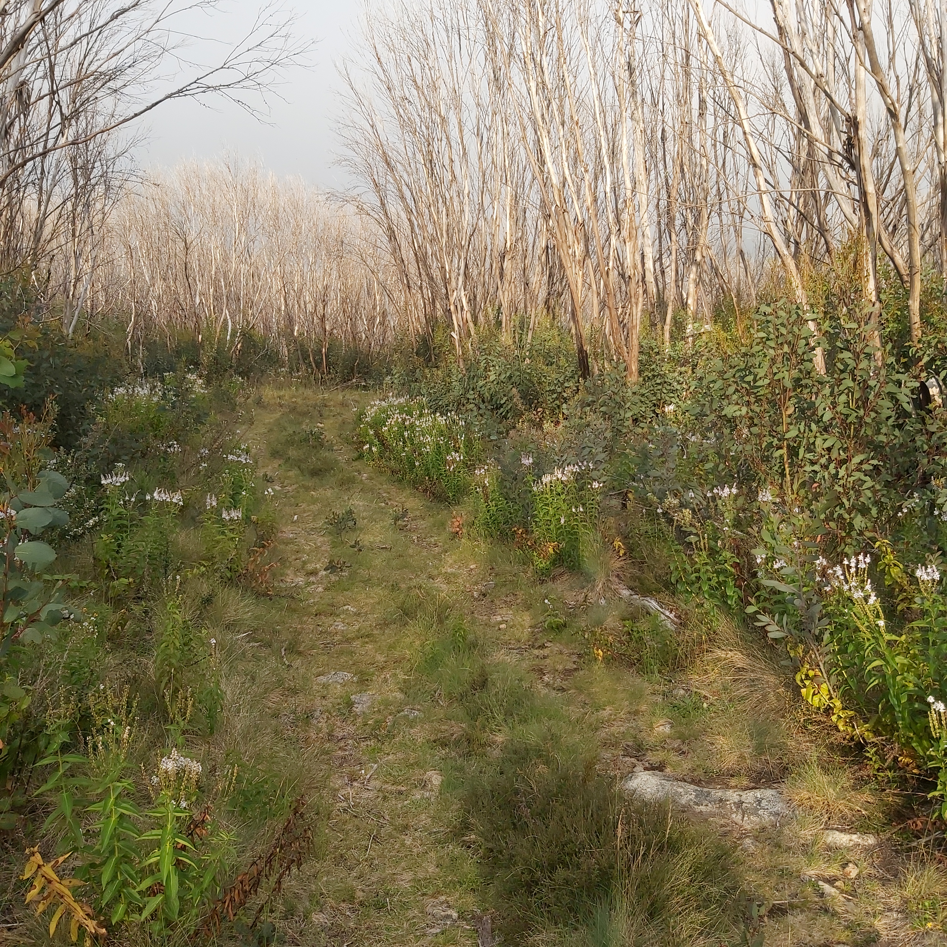
3/ Dead – early recovery. This is where a forest has been burnt and the old trees are killed, but there is thick regrowth around the base of the trees.
4/ Impacted – in decline. The tree is a mix of green leaf covered branches but also has significant areas that are dead or look unhealthy. It is in decline either due to old age or fire/ dieback. Dieback scars may be visible. Fire scars may be visible.
Please report these in categories: fire damage obvious/ dieback damage obvious/ neither/ both
We will compile the data with everything else we have received and include in our submission to government.
We already have some people who have committed to survey areas of the Snowy Mountains, Mt Howitt area, a number of spots on the Bogong High Plains, Mt Feathertop and more – so its important that you send us some form of details on the area you have mapped so areas don’t get included twice.
Please get in touch if you
- would like a copy of our guide to doing surveys (its a PDF)
- have done some surveys and compiled your data
- have any questions or want to check if a specific area has already been mapped
cam.walker@foe.org.au




Leave a comment