‘Mitch Smith on his favourite ridge’. Image: Charlie Brown
Charlie Brown is based at Falls Creek in the Victorian Alps. His photography gets a good run in a lot of snow and ski related media, and his new website Mountainside has some gorgeous images, especially from around the Falls Creek/ High Plains area.
His ‘human’ related work includes portraits, some really lively and dynamic sports images – including snow sports and MTB, plus a focus on architecture, food and weddings. His obvious love of the High Country really shines through his work: and the site is well worth checking.
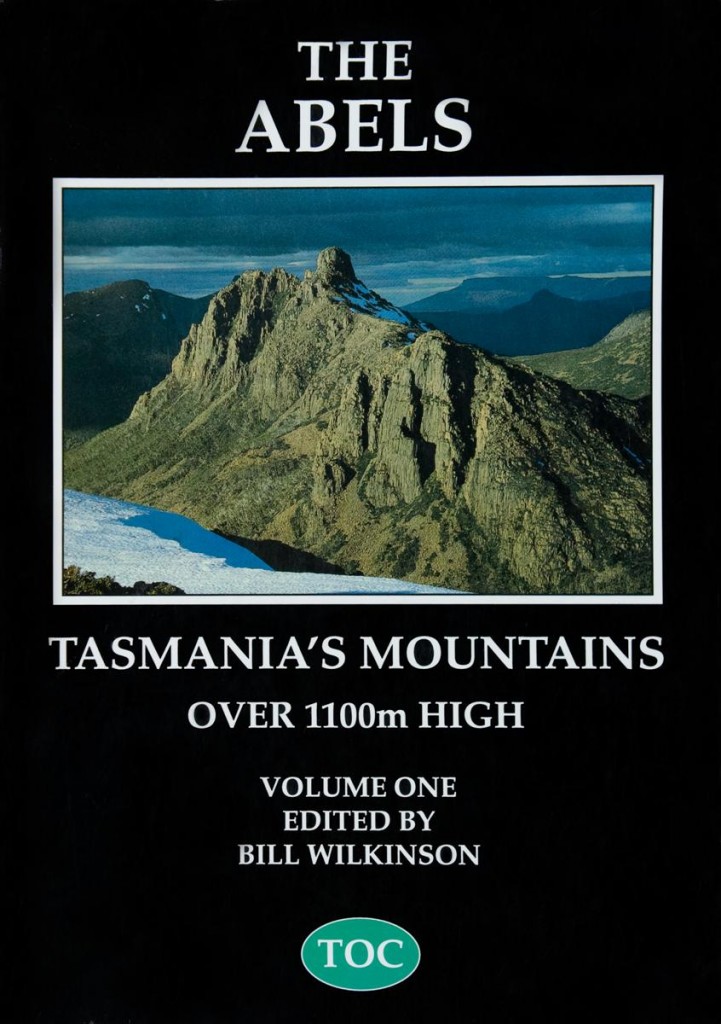
This book, the long awaited second volume covering Tasmania’s mountains over 1,100 metres in height, which covers the west and south west of the state, is absolutely gorgeous.
This volume is considerably longer than the first, with good introductory essays on animals, plants, geology and weather.
As with the first volume, it has profiles on all mountains in the region over 1,100 metres, opening lots of options for peaks you might have glimpsed from afar or seen on a map, but weren’t quite sure about how to get there or what the terrain might be like.
The following are two great community sites from the Strathbogie Ranges, an outlier to the Vic Alps. The more regional sites the better!
Strathbogie Ranges – Nature View
Flora, fauna & natural history of the Strathbogie Ranges, Victoria
This blog is about observations & issues concerning the natural history of the Strathbogie Ranges, Victoria, Australia.
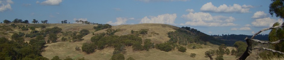
The Strathbogie Ranges are located in north-east Victoria, Australia. The Ranges include several districts (e.g. Strathbogie, Ruffy, Highlands), but support no towns (Strathbogie does have a General Store and Ruffy has the Pantry) and no major through-roads. Towns on the plains surrounding the Ranges include:
* Seymour to the south-west
* Euroa, Violet Town & Benalla to the north
* Yea & Alexandra to the south, and
* Mansfield to the south-east
The Ranges are separated from the main Great Dividing Range by the valleys and floodplains created by the Goulburn and Broken Rivers. Being separate from nearby areas of similar elevation and high rainfall has resulted in some interesting and unique biogeographic and ecological patterns.
If you’d like to add your own observations just leave a comment under the relevant post. If you’d like to contribute your own posts, email me and I’ll sign you up (bertram.lobert@activ8.net.au). You don’t need a photo to contribute, all your nature observations are welcome. This blog is part of a larger project to record biodiversity and natural history information from across the Strathbogies.
It’s a new way for residents and landholders to stay in touch and communicate with each other. We may be a small and scattered community but, with increasing use of computers and email, this site offers the opportunity to keep informed about events, to comment about Tableland issues, to contribute ideas, to catch up with each other, to buy and sell, and to show off our creativity.
FOR THOSE WHO DON’T KNOW THE AREA, the small community of the Strathbogie Tableland is located on an elevated plateau in the Strathbogie Ranges. Two hundred kilometres northeast of Melbourne, it is surrounded by forests, farmland and granite hills.
The environment is beautiful with its native bush, birds and animals. While many people have spent their entire lives on the tableland, others are increasingly choosing to leave city life and move up to live here permanently.
You can find their site here.
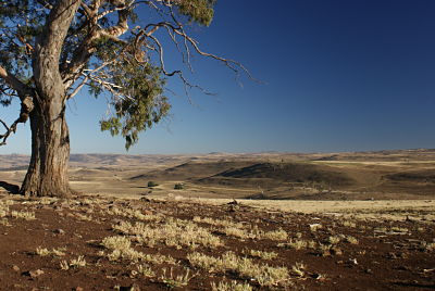
Andrew Stanger lives on the Monaro tablelands in south eastern NSW.
As a recent arrival to the region, he is, as he puts it “taking some time to acclimatise” because of the often harse nature of the environment. But equally, “there is something distinctive about this place and the landscape and the people” that has him captivated and intrigued.
You can find his writing on adapting to life on the Monaro here.



Recent Comments